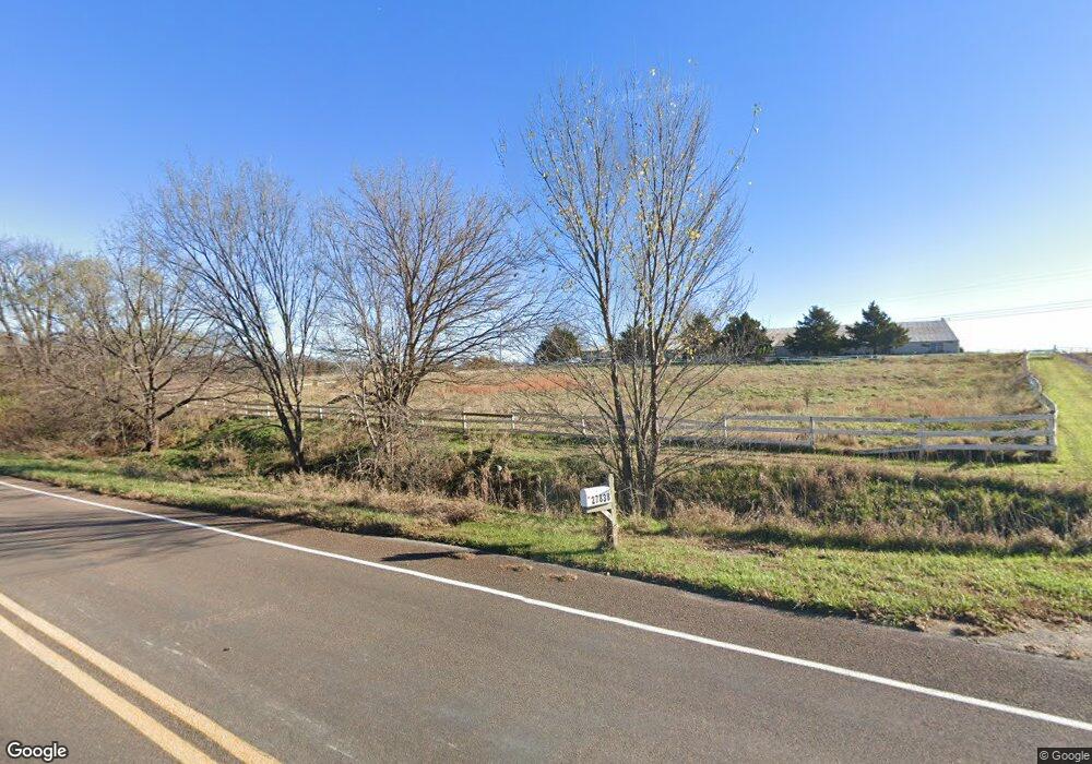
27838 187th St Leavenworth, KS 66048
Estimated Value: $271,000 - $633,618
2
Beds
2
Baths
22,808
Sq Ft
$20/Sq Ft
Est. Value
About This Home
This home is located at 27838 187th St, Leavenworth, KS 66048 and is currently estimated at $458,206, approximately $20 per square foot. 27838 187th St is a home located in Leavenworth County with nearby schools including Lansing Elementary School, Lansing Middle 6-8, and Lansing High 9-12.
Ownership History
Date
Name
Owned For
Owner Type
Purchase Details
Closed on
Apr 2, 2007
Sold by
Marc Marcinik
Bought by
Nicks Tami J and Nicks David J
Current Estimated Value
Home Financials for this Owner
Home Financials are based on the most recent Mortgage that was taken out on this home.
Original Mortgage
$288,000
Outstanding Balance
$174,993
Interest Rate
6.24%
Mortgage Type
New Conventional
Estimated Equity
$283,213
Create a Home Valuation Report for This Property
The Home Valuation Report is an in-depth analysis detailing your home's value as well as a comparison with similar homes in the area
Home Values in the Area
Average Home Value in this Area
Purchase History
| Date | Buyer | Sale Price | Title Company |
|---|---|---|---|
| Nicks Tami J | $454,860 | First American Title Insurance |
Source: Public Records
Mortgage History
| Date | Status | Borrower | Loan Amount |
|---|---|---|---|
| Open | Nicks Tami J | $288,000 |
Source: Public Records
Tax History Compared to Growth
Tax History
| Year | Tax Paid | Tax Assessment Tax Assessment Total Assessment is a certain percentage of the fair market value that is determined by local assessors to be the total taxable value of land and additions on the property. | Land | Improvement |
|---|---|---|---|---|
| 2025 | $7,966 | $72,396 | $48,182 | $24,214 |
| 2024 | $7,064 | $69,397 | $41,546 | $27,851 |
| 2023 | $7,064 | $64,695 | $38,804 | $25,891 |
| 2022 | $6,563 | $58,070 | $30,132 | $27,938 |
| 2021 | $6,202 | $54,313 | $25,744 | $28,569 |
| 2020 | $6,393 | $55,070 | $25,116 | $29,954 |
| 2019 | $6,412 | $55,117 | $23,291 | $31,826 |
| 2018 | $6,291 | $54,111 | $23,291 | $30,820 |
| 2017 | $6,313 | $54,119 | $23,291 | $30,828 |
| 2016 | $6,086 | $52,260 | $22,326 | $29,934 |
| 2015 | -- | $53,145 | $22,326 | $30,819 |
| 2014 | -- | $54,920 | $22,434 | $32,486 |
Source: Public Records
Map
Nearby Homes
- 28527 187th St
- 17739 Eisenhower Rd
- 17470 Springdale Rd
- Lot 5 195th St
- Lot 4 195th St
- Lot 5 Bauserman Rd
- 00000 Michals Rd
- 26277 187th St
- 17096 Eisenhower Rd
- 1964 Eisenhower Rd
- 503 Limit St
- Lot 3 179th St
- Lot 2 179th St
- Lot 1 179th St
- 4236 Clayton Ct
- 2151 Shenandoah Dr
- 2150 Shenandoah Dr
- 2248 Vilas St
- 3703 Clayton Dr
- 00000 Edwards Terrace
- 27702 187th St
- 27907 187th St
- 18452 High Prairie Rd
- 27945 187th St
- 27990 187th St
- 28110 187th St
- 28041 187th St
- 18698 High Prairie Rd
- 27703 187th St
- 28119 187th St
- 28152 187th St
- 18725 High Prairie Rd
- 18318 High Prairie Rd
- 18665 High Prairie Rd
- 18381 High Prairie Rd
- 18547 High Prairie Rd
- 28176 187th St
- 28258 187th St
- 19008 High Prairie Rd
- 28221 183rd St
