2784 Sturges Hwy Westport, CT 06880
Greenfield Hill NeighborhoodEstimated Value: $1,194,000 - $1,596,000
4
Beds
3
Baths
2,436
Sq Ft
$580/Sq Ft
Est. Value
About This Home
This home is located at 2784 Sturges Hwy, Westport, CT 06880 and is currently estimated at $1,412,905, approximately $580 per square foot. 2784 Sturges Hwy is a home with nearby schools including Burr Elementary School, Tomlinson Middle School, and Fairfield Warde High School.
Ownership History
Date
Name
Owned For
Owner Type
Purchase Details
Closed on
Sep 11, 2020
Sold by
Walsh Julia H
Bought by
Antar Mark and Antar Ashley
Current Estimated Value
Home Financials for this Owner
Home Financials are based on the most recent Mortgage that was taken out on this home.
Original Mortgage
$620,000
Outstanding Balance
$549,189
Interest Rate
2.8%
Mortgage Type
Purchase Money Mortgage
Estimated Equity
$863,716
Create a Home Valuation Report for This Property
The Home Valuation Report is an in-depth analysis detailing your home's value as well as a comparison with similar homes in the area
Home Values in the Area
Average Home Value in this Area
Purchase History
| Date | Buyer | Sale Price | Title Company |
|---|---|---|---|
| Antar Mark | $799,000 | None Available | |
| Antar Mark | $799,000 | None Available |
Source: Public Records
Mortgage History
| Date | Status | Borrower | Loan Amount |
|---|---|---|---|
| Open | Antar Mark | $620,000 | |
| Closed | Antar Mark | $620,000 |
Source: Public Records
Tax History Compared to Growth
Tax History
| Year | Tax Paid | Tax Assessment Tax Assessment Total Assessment is a certain percentage of the fair market value that is determined by local assessors to be the total taxable value of land and additions on the property. | Land | Improvement |
|---|---|---|---|---|
| 2025 | $14,442 | $508,690 | $283,990 | $224,700 |
| 2024 | $14,192 | $508,690 | $283,990 | $224,700 |
| 2023 | $13,994 | $508,690 | $283,990 | $224,700 |
| 2022 | $13,857 | $508,690 | $283,990 | $224,700 |
| 2021 | $13,724 | $508,690 | $283,990 | $224,700 |
| 2020 | $13,420 | $500,920 | $273,560 | $227,360 |
| 2019 | $13,420 | $500,920 | $273,560 | $227,360 |
| 2018 | $13,204 | $500,920 | $273,560 | $227,360 |
| 2017 | $12,934 | $500,920 | $273,560 | $227,360 |
| 2016 | $12,748 | $500,920 | $273,560 | $227,360 |
| 2015 | $13,704 | $552,790 | $303,940 | $248,850 |
| 2014 | $13,488 | $552,790 | $303,940 | $248,850 |
Source: Public Records
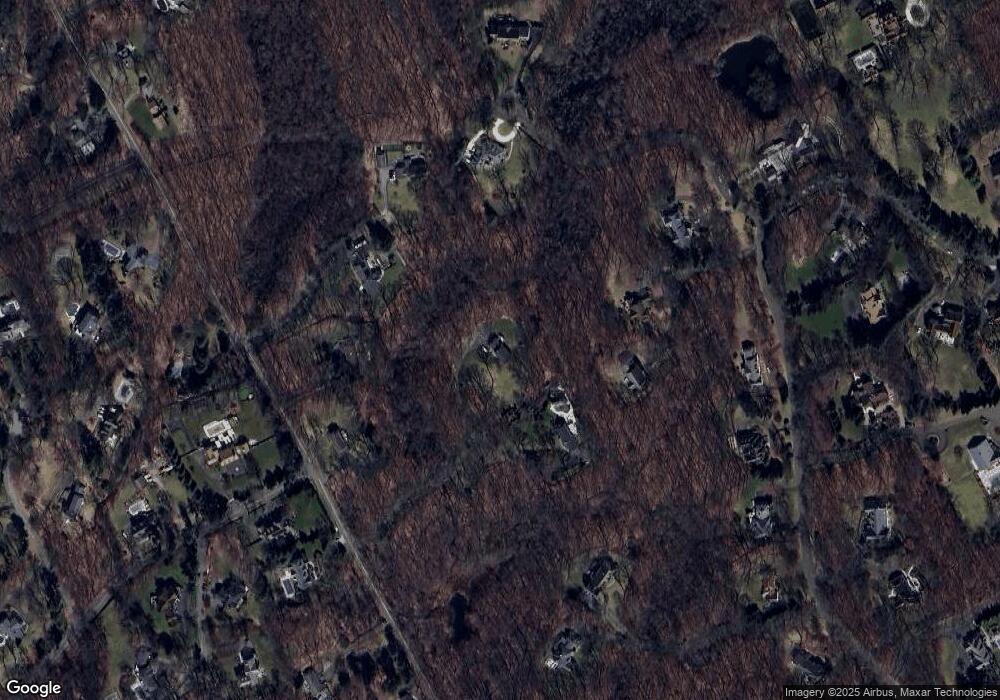
Map
Nearby Homes
- 212 Fence Row Dr
- 88 Merry Meet Cir
- 101 Brambley Hedge Cir
- 2190 Sturges Hwy
- 2425 Merwins Ln
- 24 Tupelo Rd
- 9 Greenbrier Rd
- 56 Charcoal Hill Rd
- 6 Nutcracker Ln
- 1 Greenlea Ln
- 18 Hunt Ln
- 158 Coventry Ln
- 31 White Birch Rd
- 1375 Westport Turnpike
- 2281 Redding Rd
- 180 Catamount Rd
- 2015 Redding Rd
- 80 Gilbert Hwy
- 14 Northfield Dr
- 18 Cardinal Rd
- 2784 Sturges Hwy
- 2822 Sturges Hwy
- 33 Meeker Rd
- 34 Meeker Rd
- 2742 Sturges Hwy
- 2710 Sturges Hwy
- 2854 Sturges Hwy
- 259 Sturges Hwy
- 1 Pheasant Ln
- 2742 Sturges Hwy
- 2710 Sturges Hwy
- 3 Pheasant Ln
- 31 Meeker Rd
- 2 Pheasant Ln
- 245 Sturges Hwy
- 267 Sturges Hwy
- 243 Sturges Hwy
- 2928 Sturges Hwy
- 385 Fence Row Dr
- 11 Fairview Dr