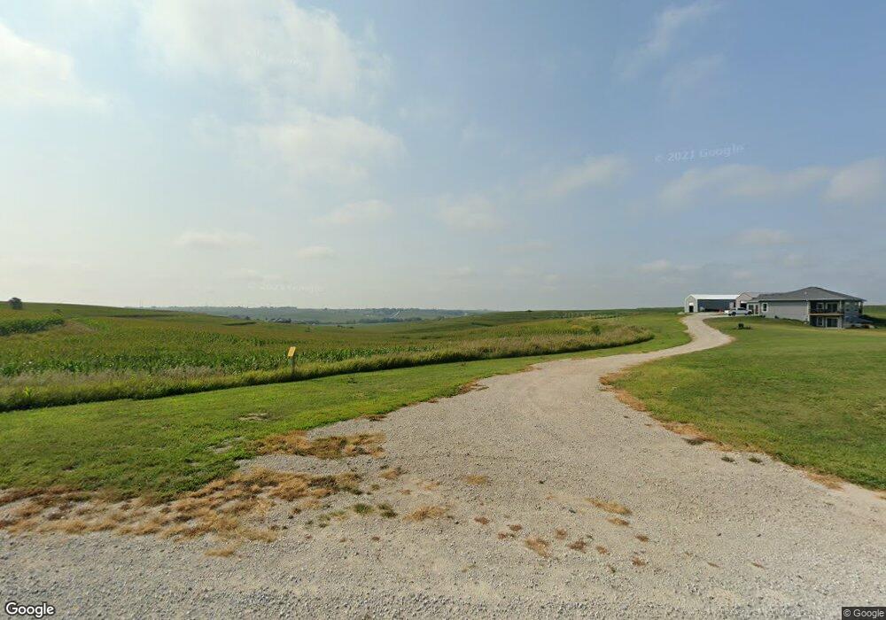
27843 Honeysuckle Rd Mc Clelland, IA 51548
Estimated Value: $783,787 - $786,000
3
Beds
4
Baths
2,085
Sq Ft
$376/Sq Ft
Est. Value
About This Home
This home is located at 27843 Honeysuckle Rd, Mc Clelland, IA 51548 and is currently estimated at $784,894, approximately $376 per square foot. 27843 Honeysuckle Rd is a home with nearby schools including Underwood Elementary School, Underwood Middle School, and Underwood High School.
Ownership History
Date
Name
Owned For
Owner Type
Purchase Details
Closed on
Apr 5, 2017
Sold by
Mcpartland Karen L
Bought by
Hewett Timothy J and Hewett Kim E
Current Estimated Value
Purchase Details
Closed on
Jan 13, 2009
Sold by
Letner Curtis Brian and Letner Analisle C
Bought by
Karen L Mcpartland Revocable Living Trus
Home Financials for this Owner
Home Financials are based on the most recent Mortgage that was taken out on this home.
Original Mortgage
$41,250
Interest Rate
5.19%
Mortgage Type
Future Advance Clause Open End Mortgage
Create a Home Valuation Report for This Property
The Home Valuation Report is an in-depth analysis detailing your home's value as well as a comparison with similar homes in the area
Home Values in the Area
Average Home Value in this Area
Purchase History
| Date | Buyer | Sale Price | Title Company |
|---|---|---|---|
| Hewett Timothy J | -- | Attorney | |
| Karen L Mcpartland Revocable Living Trus | $55,000 | None Available |
Source: Public Records
Mortgage History
| Date | Status | Borrower | Loan Amount |
|---|---|---|---|
| Previous Owner | Karen L Mcpartland Revocable Living Trus | $41,250 |
Source: Public Records
Tax History Compared to Growth
Tax History
| Year | Tax Paid | Tax Assessment Tax Assessment Total Assessment is a certain percentage of the fair market value that is determined by local assessors to be the total taxable value of land and additions on the property. | Land | Improvement |
|---|---|---|---|---|
| 2025 | $8,504 | $698,500 | $102,900 | $595,600 |
| 2024 | $8,504 | $662,100 | $89,500 | $572,600 |
| 2023 | $8,232 | $662,100 | $89,500 | $572,600 |
| 2022 | $7,370 | $499,200 | $72,600 | $426,600 |
| 2021 | $7,483 | $499,200 | $72,600 | $426,600 |
| 2020 | $222 | $10,000 | $8,300 | $1,700 |
| 2019 | $242 | $10,000 | $8,300 | $1,700 |
| 2018 | $238 | $15,700 | $12,900 | $2,800 |
| 2017 | $210 | $15,862 | $12,062 | $3,800 |
| 2015 | $202 | $15,862 | $12,062 | $3,800 |
| 2014 | $210 | $17,262 | $12,062 | $5,200 |
Source: Public Records
Map
Nearby Homes
- 21693 270th St
- LOT 2 Stoneridge Ct
- LOT 1 Stoneridge Ct
- LOT 5 Stoneridge Ct
- LOT 8 Stoneridge Ct
- LOT 10 Stoneridge Ct
- LOT 9 Stoneridge Ct
- LOT 7 Stoneridge Ct
- 15725 300th St
- 16 4th Ave
- 23973 Dogwood Rd
- 25514 Greenview Rd
- 153.2 AC Juniper Rd
- 22767 County Road L34
- 202 Augusta Dr
- 203 S Eyberg Ave
- 21836 Vineyard Hills Dr
- 307 Maple Dr
- 206 Hillsdale Dr
- 406 Maple Dr
- 20878 280
- 27967 Honeysuckle Rd
- 20878 280th St
- 27968 Honeysuckle Rd
- 27587 Honeysuckle Rd
- 20766 280th St
- PARCEL B 280th St
- 20636 280th St
- 20622 280th St
- PARCEL I 280th St
- PARCEL H 280th St
- 21317 280th St
- 27366 Honeysuckle Rd
- 20477 280th St
- 20600 280th St
- 20700 280th St
- 20800 280th St
- 20500 280th St
- 20900 280th St
- 28548 Honeysuckle Rd