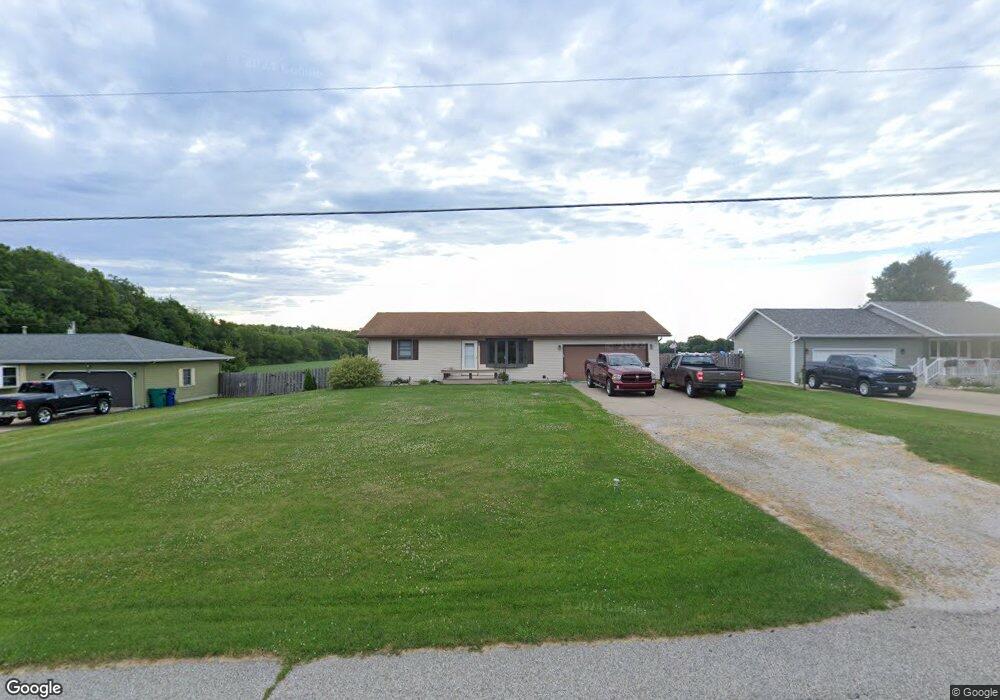
2787 S 350 E La Porte, IN 46350
Estimated Value: $245,000 - $269,000
3
Beds
2
Baths
1,326
Sq Ft
$192/Sq Ft
Est. Value
About This Home
This home is located at 2787 S 350 E, La Porte, IN 46350 and is currently estimated at $254,961, approximately $192 per square foot. 2787 S 350 E is a home located in LaPorte County with nearby schools including Indian Trail Elementary School, La Porte High School, and Kesling Intermediate School.
Ownership History
Date
Name
Owned For
Owner Type
Purchase Details
Closed on
Jan 18, 2006
Sold by
Ganschow John Michael and Ganschow Donna Marie
Bought by
Malchow Michael D and Malchow Sharon E
Current Estimated Value
Home Financials for this Owner
Home Financials are based on the most recent Mortgage that was taken out on this home.
Original Mortgage
$147,250
Outstanding Balance
$82,062
Interest Rate
6.42%
Mortgage Type
Fannie Mae Freddie Mac
Estimated Equity
$172,899
Create a Home Valuation Report for This Property
The Home Valuation Report is an in-depth analysis detailing your home's value as well as a comparison with similar homes in the area
Purchase History
| Date | Buyer | Sale Price | Title Company |
|---|---|---|---|
| Malchow Michael D | -- | Ticor Title Insurance Co |
Source: Public Records
Mortgage History
| Date | Status | Borrower | Loan Amount |
|---|---|---|---|
| Open | Malchow Michael D | $147,250 |
Source: Public Records
Tax History
| Year | Tax Paid | Tax Assessment Tax Assessment Total Assessment is a certain percentage of the fair market value that is determined by local assessors to be the total taxable value of land and additions on the property. | Land | Improvement |
|---|---|---|---|---|
| 2025 | $1,796 | $190,800 | $18,900 | $171,900 |
| 2024 | $1,878 | $183,400 | $18,900 | $164,500 |
| 2022 | $1,622 | $163,600 | $18,900 | $144,700 |
| 2021 | $1,530 | $149,900 | $18,900 | $131,000 |
| 2020 | $1,511 | $149,900 | $18,900 | $131,000 |
| 2019 | $1,577 | $157,200 | $30,000 | $127,200 |
| 2018 | $1,145 | $129,100 | $20,000 | $109,100 |
| 2017 | $1,061 | $123,200 | $20,000 | $103,200 |
| 2016 | $1,215 | $136,300 | $20,000 | $116,300 |
| 2014 | $1,135 | $136,800 | $20,000 | $116,800 |
Source: Public Records
Map
Nearby Homes
- 260 E Hupp Rd
- 4191 E 400 S
- 3466 S State Road 104
- 1602 E 300 S
- 2716 E 450 S
- 4315 S 200 E
- 2208 E 450 S
- 3961 State Road 104
- 6152 E State Road 4
- 1168 E State Road 4
- 1083 E State Hwy Unit 409
- 2282 S Taylor Rd
- 315 Holly Dr
- 211 Whispering Blvd
- 235 Whispering Blvd
- 0 S Longshore Dr
- 64 Green Lawn Dr
- Lot 16 S Morgan Rd
- Lot 17 S Morgan Rd
- 535 N Fail Rd
Your Personal Tour Guide
Ask me questions while you tour the home.