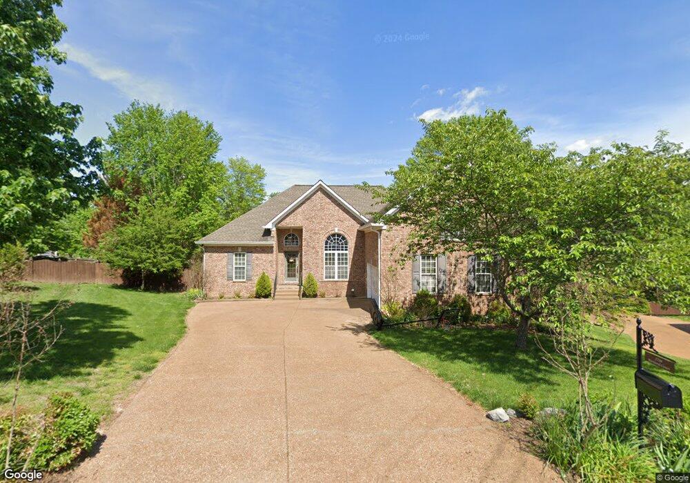
2788 Rutland Ct Thompsons Station, TN 37179
Estimated Value: $542,063 - $651,000
--
Bed
3
Baths
2,260
Sq Ft
$270/Sq Ft
Est. Value
About This Home
This home is located at 2788 Rutland Ct, Thompsons Station, TN 37179 and is currently estimated at $611,266, approximately $270 per square foot. 2788 Rutland Ct is a home located in Williamson County with nearby schools including Primrose School of Spring Hill.
Ownership History
Date
Name
Owned For
Owner Type
Purchase Details
Closed on
Sep 27, 2002
Sold by
White W Frank and White Bettie C
Bought by
Gordon Matthew W and Gordon Laura B
Current Estimated Value
Home Financials for this Owner
Home Financials are based on the most recent Mortgage that was taken out on this home.
Original Mortgage
$204,250
Outstanding Balance
$85,509
Interest Rate
6.27%
Estimated Equity
$525,757
Create a Home Valuation Report for This Property
The Home Valuation Report is an in-depth analysis detailing your home's value as well as a comparison with similar homes in the area
Home Values in the Area
Average Home Value in this Area
Purchase History
| Date | Buyer | Sale Price | Title Company |
|---|---|---|---|
| Gordon Matthew W | $215,000 | -- |
Source: Public Records
Mortgage History
| Date | Status | Borrower | Loan Amount |
|---|---|---|---|
| Open | Gordon Matthew W | $204,250 |
Source: Public Records
Tax History Compared to Growth
Tax History
| Year | Tax Paid | Tax Assessment Tax Assessment Total Assessment is a certain percentage of the fair market value that is determined by local assessors to be the total taxable value of land and additions on the property. | Land | Improvement |
|---|---|---|---|---|
| 2025 | $808 | $161,900 | $38,750 | $123,150 |
| 2024 | $808 | $109,400 | $20,000 | $89,400 |
| 2023 | $808 | $109,400 | $20,000 | $89,400 |
| 2022 | $2,002 | $109,400 | $20,000 | $89,400 |
| 2021 | $1,943 | $106,150 | $20,000 | $86,150 |
| 2020 | $1,725 | $79,875 | $15,000 | $64,875 |
| 2019 | $1,725 | $79,875 | $15,000 | $64,875 |
| 2018 | $1,669 | $79,875 | $15,000 | $64,875 |
| 2017 | $1,653 | $79,875 | $15,000 | $64,875 |
| 2016 | $1,629 | $79,875 | $15,000 | $64,875 |
| 2015 | -- | $65,625 | $12,500 | $53,125 |
| 2014 | -- | $65,625 | $12,500 | $53,125 |
Source: Public Records
Map
Nearby Homes
- 2785 Rutland Ct
- 2863 Windy Way
- 2184 Loudenslager Dr
- 2836 Pedigo Place
- 2165 Loudenslager Dr
- 2935 Stewart Campbell Point
- 1083 Auldridge Dr
- 2127 Loudenslager Dr
- 2039 Friendship Dr
- 2814 New Port Royal Rd
- 2052 Hemlock Dr
- 2957 Stewart Campbell Point
- 1095 Brixworth Dr
- 2112 Loudenslager Dr
- 403 Preakness Dr
- 2965 Stewart Campbell Point
- 2091 Hemlock Dr
- 2021 Hemlock Dr
- 2104 Loudenslager Dr
- 1108 Brixworth Dr
- 2784 Rutland Ct
- 2841 Pedigo Place
- 2789 Rutland Ct
- 2775 Landcashire Ct
- 2780 Rutland Ct
- 2837 Pedigo Place
- 2845 Pedigo Place
- 2768 New Port Royal Rd
- 2781 Rutland Ct
- 2847 Pedigo Place
- 2790 Warwick Ct
- 2838 Pedigo Place
- 2778 Landcashire Ct
- 2834 Pedigo Place
- 2791 Warwick Ct
- 2770 Landcashire Ct
- 2763 New Port Royal Rd
- 2774 Landcashire Ct
- 2849 Pedigo Place
- 2829 Pedigo Place