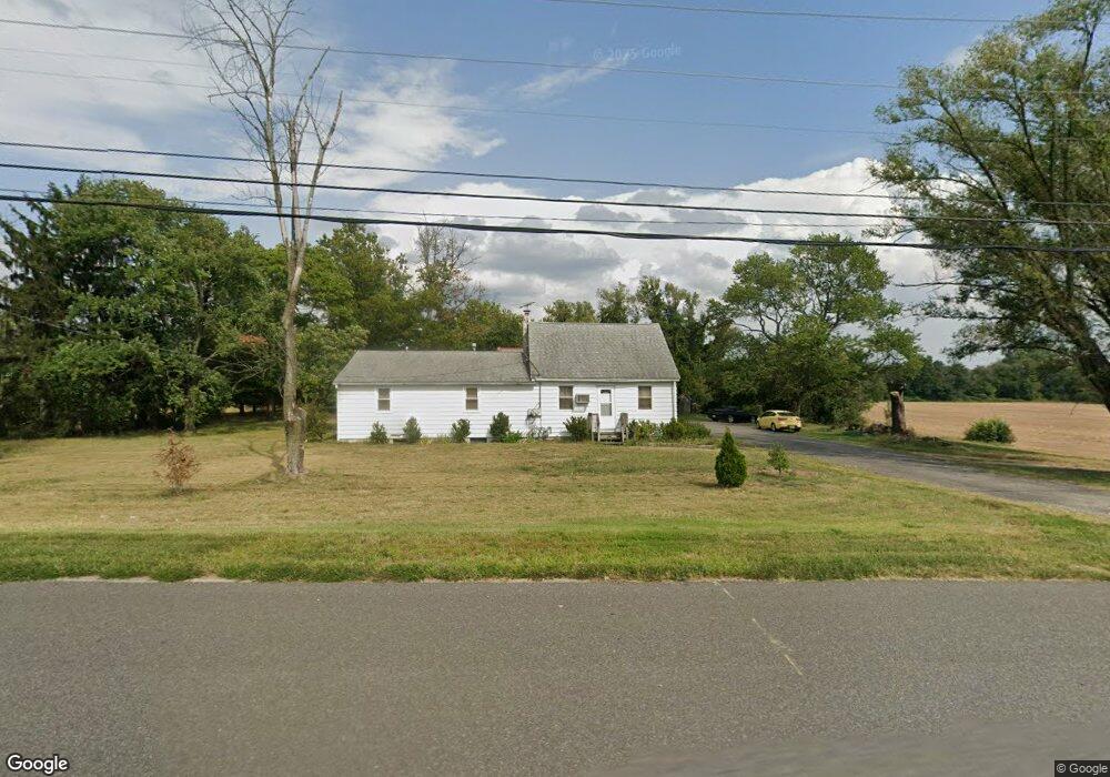
2789 Route 322 Swedesboro, NJ 08085
Logan Township NeighborhoodEstimated Value: $261,000 - $539,000
--
Bed
--
Bath
1,459
Sq Ft
$246/Sq Ft
Est. Value
About This Home
This home is located at 2789 Route 322, Swedesboro, NJ 08085 and is currently estimated at $359,430, approximately $246 per square foot. 2789 Route 322 is a home located in Gloucester County with nearby schools including Logan Township Elementary School.
Ownership History
Date
Name
Owned For
Owner Type
Purchase Details
Closed on
Feb 28, 2002
Sold by
Briggs James and Estate Of Adeline Briggs
Bought by
Briggs Charles E and Briggs Deborah A
Current Estimated Value
Home Financials for this Owner
Home Financials are based on the most recent Mortgage that was taken out on this home.
Original Mortgage
$80,750
Interest Rate
7.01%
Create a Home Valuation Report for This Property
The Home Valuation Report is an in-depth analysis detailing your home's value as well as a comparison with similar homes in the area
Home Values in the Area
Average Home Value in this Area
Purchase History
| Date | Buyer | Sale Price | Title Company |
|---|---|---|---|
| Briggs Charles E | $105,000 | -- |
Source: Public Records
Mortgage History
| Date | Status | Borrower | Loan Amount |
|---|---|---|---|
| Closed | Briggs Charles E | $80,750 |
Source: Public Records
Tax History Compared to Growth
Tax History
| Year | Tax Paid | Tax Assessment Tax Assessment Total Assessment is a certain percentage of the fair market value that is determined by local assessors to be the total taxable value of land and additions on the property. | Land | Improvement |
|---|---|---|---|---|
| 2025 | $3,338 | $256,800 | $91,800 | $165,000 |
| 2024 | $2,888 | $256,800 | $91,800 | $165,000 |
| 2023 | $2,888 | $143,700 | $39,300 | $104,400 |
| 2022 | $3,002 | $143,700 | $39,300 | $104,400 |
| 2021 | $2,337 | $143,700 | $39,300 | $104,400 |
| 2020 | $3,125 | $143,700 | $39,300 | $104,400 |
| 2019 | $3,121 | $143,700 | $39,300 | $104,400 |
| 2018 | $3,035 | $143,700 | $39,300 | $104,400 |
| 2017 | $3,630 | $144,800 | $37,600 | $107,200 |
| 2016 | $3,571 | $144,800 | $37,600 | $107,200 |
| 2015 | $3,170 | $145,400 | $38,200 | $107,200 |
| 2014 | $3,074 | $145,400 | $38,200 | $107,200 |
Source: Public Records
Map
Nearby Homes
- 71 Main St
- 17 Hickory Ln
- 2153 Route 322
- 112 Carriage Ln
- 347 Paulsboro Rd
- 55 Hamilton St
- 126 Repaupo Station Rd
- 364 High Hill Rd
- 111 Peachwood Dr
- 43 45 Repaupo Station Rd
- 788 Paulsboro Rd
- 792 Paulsboro Rd
- 159 Mill Rd
- 23 Adams St
- 142 Ramona Ln
- 135 Juniper Ln
- 18 Dogwood Place
- 217 Spruce Trail
- 120 Edward Dr
- 328 Pedricktown Rd
- 2799 Route 322
- 2767 Route 322
- 2755 Route 322
- 2747 Route 322
- 2887 Route 322
- 676 Oak Grove Rd
- 738 Oak Grove Rd
- 780 Oak Grove Rd
- 2957 Route 322
- 112 S Bridgeport Rd
- 736 Oak Grove Rd
- 109 S Bridgeport Rd
- 2615 Route 322
- 2613 Route 322
- 99 S Bridgeport Rd
- 0 Oak Grove Rd Unit 1007381370
- 0 Oak Grove Rd Unit 5328247
- 0 Oak Grove Rd Unit 5328243
- 0 Oak Grove Rd Unit 5832878
- 0 Oak Grove Rd Unit 5832862