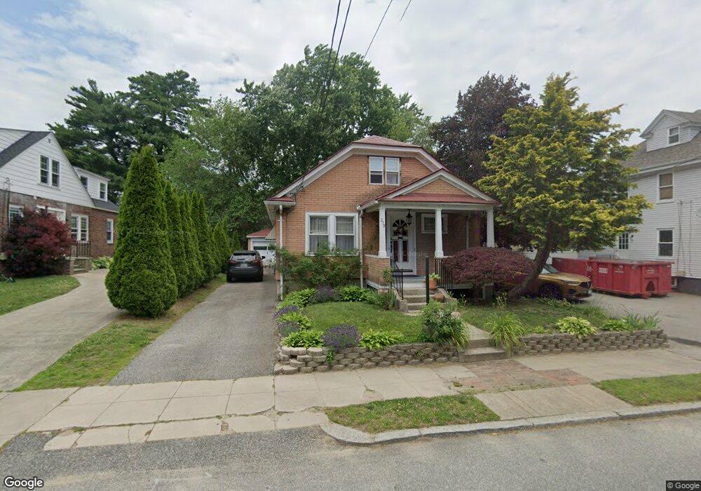
279 Auburn St Cranston, RI 02910
Auburn NeighborhoodEstimated Value: $413,431 - $502,000
2
Beds
2
Baths
1,125
Sq Ft
$417/Sq Ft
Est. Value
About This Home
This home is located at 279 Auburn St, Cranston, RI 02910 and is currently estimated at $469,608, approximately $417 per square foot. 279 Auburn St is a home located in Providence County with nearby schools including Eden Park Elementary School, Park View Middle School, and Cranston High School East.
Ownership History
Date
Name
Owned For
Owner Type
Purchase Details
Closed on
Mar 12, 2025
Sold by
Delsanto Natalya
Bought by
Natalya Delsanto T and Natalya Delsanto
Current Estimated Value
Purchase Details
Closed on
Oct 11, 2000
Sold by
Girard Conrad E
Bought by
Delsanto Anthony
Create a Home Valuation Report for This Property
The Home Valuation Report is an in-depth analysis detailing your home's value as well as a comparison with similar homes in the area
Home Values in the Area
Average Home Value in this Area
Purchase History
| Date | Buyer | Sale Price | Title Company |
|---|---|---|---|
| Natalya Delsanto T | -- | None Available | |
| Natalya Delsanto T | -- | None Available | |
| Delsanto Anthony | $92,500 | -- | |
| Delsanto Anthony | $92,500 | -- |
Source: Public Records
Mortgage History
| Date | Status | Borrower | Loan Amount |
|---|---|---|---|
| Previous Owner | Delsanto Anthony | $135,000 | |
| Previous Owner | Delsanto Anthony | $45,259 | |
| Previous Owner | Delsanto Anthony | $60,000 | |
| Previous Owner | Delsanto Anthony | $40,000 |
Source: Public Records
Tax History Compared to Growth
Tax History
| Year | Tax Paid | Tax Assessment Tax Assessment Total Assessment is a certain percentage of the fair market value that is determined by local assessors to be the total taxable value of land and additions on the property. | Land | Improvement |
|---|---|---|---|---|
| 2025 | $4,962 | $357,500 | $94,300 | $263,200 |
| 2024 | $4,866 | $357,500 | $94,300 | $263,200 |
| 2023 | $4,693 | $248,300 | $65,100 | $183,200 |
| 2022 | $4,596 | $248,300 | $65,100 | $183,200 |
| 2021 | $4,469 | $248,300 | $65,100 | $183,200 |
| 2020 | $4,324 | $208,200 | $61,800 | $146,400 |
| 2019 | $4,324 | $208,200 | $61,800 | $146,400 |
| 2018 | $4,224 | $208,200 | $61,800 | $146,400 |
| 2017 | $3,627 | $158,100 | $45,500 | $112,600 |
| 2016 | $3,549 | $158,100 | $45,500 | $112,600 |
| 2015 | $3,549 | $158,100 | $45,500 | $112,600 |
| 2014 | $3,389 | $148,400 | $45,500 | $102,900 |
Source: Public Records
Map
Nearby Homes
- 51 Norfolk St
- 1 Rolfe Square
- 75 High School Ave
- 115 Norfolk St
- 129 Wollaston St
- 130 Wollaston St
- 36 Blackamore Ave
- 483 Pontiac Ave
- 140 Eldridge St
- 140 Concord Ave
- 128 Elsie St
- 12 Stevens Rd
- 124 Clarence St
- 74 Leslie St
- 136 Frankfort St
- 152 Woodbine St
- 18 Glenwood Ave
- 41 Cottage St
- 638 Pontiac Ave
- 210 Crescent Ave
- 2 Wollaston St
- 34 Hayward St
- 16 Wollaston St
- 381 Pontiac Ave
- 285 Auburn St
- 2 Ruxton St
- 30 Hayward St
- 4 Ruxton St
- 286 Auburn St
- 289 Auburn St
- 385 Pontiac Ave
- 1 Confidential Ave
- 5701 Call for Address
- 15 Wollaston St
- 290 Auburn St
- 26 Hayward St
- 293 Auburn St
- 295 Auburn St
- 23 Wollaston St
- 389 Pontiac Ave