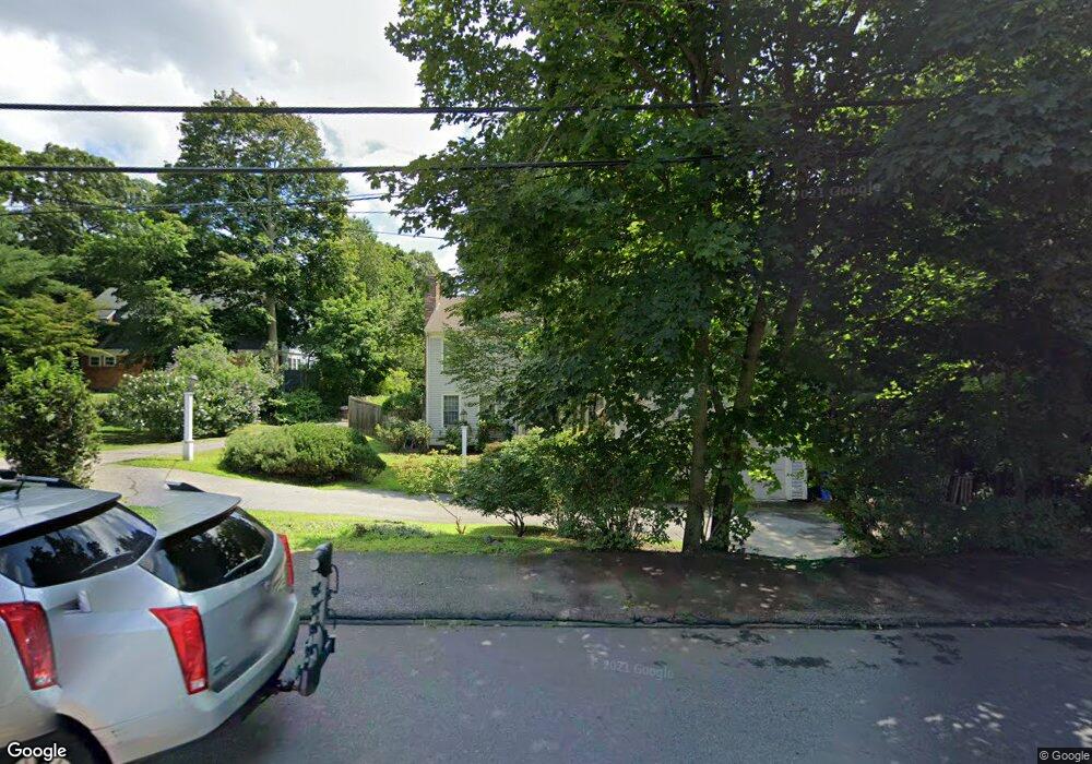
279 Bacon St Waltham, MA 02451
Estimated Value: $1,035,000 - $1,463,000
4
Beds
3
Baths
2,865
Sq Ft
$422/Sq Ft
Est. Value
About This Home
This home is located at 279 Bacon St, Waltham, MA 02451 and is currently estimated at $1,209,728, approximately $422 per square foot. 279 Bacon St is a home located in Middlesex County with nearby schools including Thomas R Plympton Elementary School, John F Kennedy Middle School, and Waltham Sr High School.
Ownership History
Date
Name
Owned For
Owner Type
Purchase Details
Closed on
Aug 6, 1999
Sold by
Shulman Steven M and Shulman Carolyn M
Bought by
Pon David
Current Estimated Value
Home Financials for this Owner
Home Financials are based on the most recent Mortgage that was taken out on this home.
Original Mortgage
$328,000
Outstanding Balance
$93,446
Interest Rate
7.54%
Mortgage Type
Purchase Money Mortgage
Estimated Equity
$1,116,282
Purchase Details
Closed on
Dec 12, 1995
Sold by
Snow Dev Corp
Bought by
Shulman Steven M
Home Financials for this Owner
Home Financials are based on the most recent Mortgage that was taken out on this home.
Original Mortgage
$271,000
Interest Rate
7.44%
Mortgage Type
Purchase Money Mortgage
Create a Home Valuation Report for This Property
The Home Valuation Report is an in-depth analysis detailing your home's value as well as a comparison with similar homes in the area
Home Values in the Area
Average Home Value in this Area
Purchase History
| Date | Buyer | Sale Price | Title Company |
|---|---|---|---|
| Pon David | $410,000 | -- | |
| Shulman Steven M | $311,892 | -- |
Source: Public Records
Mortgage History
| Date | Status | Borrower | Loan Amount |
|---|---|---|---|
| Open | Shulman Steven M | $328,000 | |
| Previous Owner | Shulman Steven M | $43,000 | |
| Previous Owner | Shulman Steven M | $271,000 |
Source: Public Records
Tax History Compared to Growth
Tax History
| Year | Tax Paid | Tax Assessment Tax Assessment Total Assessment is a certain percentage of the fair market value that is determined by local assessors to be the total taxable value of land and additions on the property. | Land | Improvement |
|---|---|---|---|---|
| 2025 | $9,054 | $922,000 | $442,300 | $479,700 |
| 2024 | $8,829 | $915,900 | $442,300 | $473,600 |
| 2023 | $8,743 | $847,200 | $402,900 | $444,300 |
| 2022 | $8,825 | $792,200 | $367,900 | $424,300 |
| 2021 | $8,710 | $769,400 | $367,900 | $401,500 |
| 2020 | $8,586 | $718,500 | $332,800 | $385,700 |
| 2019 | $8,230 | $650,100 | $326,400 | $323,700 |
| 2018 | $7,502 | $594,900 | $302,200 | $292,700 |
| 2017 | $7,142 | $568,600 | $275,900 | $292,700 |
| 2016 | $6,745 | $551,100 | $258,400 | $292,700 |
| 2015 | $6,843 | $521,200 | $245,300 | $275,900 |
Source: Public Records
Map
Nearby Homes
- 326 Bacon St
- 14 Claremont St
- 37 Summit St
- 49 Lincoln St
- 14 Willard St
- 511 Lexington St
- 158 Church St
- 160 School St Unit 3-1
- 91 Prentice St
- 214 Church St
- 16 Winter St Unit 26C
- 70 School St
- 15 Howard St
- 43-45 Welligton Unit 3
- 15 Banks St Unit 4
- 32 Harvard St Unit 2
- 7-11.5 Felton
- 948 Main St Unit 209
- 948 Main St Unit 105
- 44 Sachem St