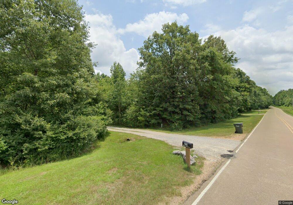
279 Barton Desoto Rd Olive Branch, MS 38654
Estimated Value: $288,000 - $525,952
--
Bed
1
Bath
3,461
Sq Ft
$118/Sq Ft
Est. Value
About This Home
This home is located at 279 Barton Desoto Rd, Olive Branch, MS 38654 and is currently estimated at $406,976, approximately $117 per square foot. 279 Barton Desoto Rd is a home.
Ownership History
Date
Name
Owned For
Owner Type
Purchase Details
Closed on
Jun 12, 2023
Sold by
Tisdale Jethro Davidson
Bought by
Ivone Nicholas James and Fisher Stephen Cory
Current Estimated Value
Home Financials for this Owner
Home Financials are based on the most recent Mortgage that was taken out on this home.
Original Mortgage
$85,000
Outstanding Balance
$69,711
Interest Rate
6.39%
Mortgage Type
New Conventional
Estimated Equity
$337,265
Purchase Details
Closed on
Mar 30, 2020
Sold by
Scs Rentals Llc
Bought by
Schroder Cheryl and Bousquet Claire
Home Financials for this Owner
Home Financials are based on the most recent Mortgage that was taken out on this home.
Original Mortgage
$200,000
Interest Rate
3.4%
Mortgage Type
Credit Line Revolving
Purchase Details
Closed on
Feb 15, 2017
Sold by
Samuels Theresa Gaile and Samuels Craig Samuel
Bought by
Rawie Mark S and Rawie Jill A
Create a Home Valuation Report for This Property
The Home Valuation Report is an in-depth analysis detailing your home's value as well as a comparison with similar homes in the area
Home Values in the Area
Average Home Value in this Area
Purchase History
| Date | Buyer | Sale Price | Title Company |
|---|---|---|---|
| Ivone Nicholas James | -- | Realty Title | |
| Schroder Cheryl | -- | Title365 | |
| Rawie Mark S | -- | None Available |
Source: Public Records
Mortgage History
| Date | Status | Borrower | Loan Amount |
|---|---|---|---|
| Open | Ivone Nicholas James | $85,000 | |
| Previous Owner | Schroder Cheryl | $200,000 |
Source: Public Records
Tax History Compared to Growth
Tax History
| Year | Tax Paid | Tax Assessment Tax Assessment Total Assessment is a certain percentage of the fair market value that is determined by local assessors to be the total taxable value of land and additions on the property. | Land | Improvement |
|---|---|---|---|---|
| 2025 | $3,823 | $45,294 | $0 | $0 |
| 2024 | $3,823 | $34,747 | $0 | $0 |
| 2023 | $3,367 | $32,052 | $0 | $0 |
| 2022 | $3,539 | $32,027 | $0 | $0 |
| 2021 | $5,758 | $48,041 | $0 | $0 |
| 2020 | $207 | $1,725 | $0 | $0 |
| 2019 | $207 | $1,725 | $0 | $0 |
| 2018 | $207 | $1,725 | $0 | $0 |
| 2017 | $205 | $1,710 | $0 | $0 |
| 2016 | $205 | $1,710 | $0 | $0 |
| 2015 | $196 | $1,635 | $0 | $0 |
| 2014 | $196 | $1,635 | $0 | $0 |
Source: Public Records
Map
Nearby Homes
- 6201 County Line Rd
- 6163 County Line Rd
- 14562 Smokey Ln
- 6901 Cataloochee Cove
- 6826 Payne Ln
- 6865 Payne Ln
- 6805 Clarmore Dr
- 14291 Buttercup Dr
- 7216 Belle Manor Dr
- 14276 Cantwell Dr
- 14288 Santa fe Dr
- 14421 Santa fe Dr
- 5674 Santa fe Dr E
- 4380 Center Hill Rd
- 14029 Knightsbridge Ln
- 6486 Way E
- 6500 John Hamilton Way E
- 6472 John Hamilton Way E
- 6522 John Hamilton Way E
- 6452 John Hamilton Way E
- 307 Barton Desoto Rd
- 0 Barton Desoto Rd Unit 2255905
- 0 Barton Desoto Rd Unit 2260681
- 0 Barton Desoto Rd Unit 2307111
- 6511 Barton Desoto Rd
- 0 E Burton Rd Unit 2252500
- 8 Barton Desoto Rd
- 11 James Black Cove
- 6 Barton Desoto Rd
- 35 James Berry Rd
- 35 James Black Rd
- 0 James Black Cove Unit 4027334
- 5 Barton Desoto Rd
- 3 Barton Desoto Rd
- 1 Barton Desoto Rd
- 85 James Black Rd
- 4 Barton Desoto Rd
- 57 County Line Rd
- 56 County Line Rd
- 0 County Line Rd
