279 Beurys Rd Ashland, PA 17921
Estimated Value: $265,062 - $300,000
6
Beds
2
Baths
2,016
Sq Ft
$142/Sq Ft
Est. Value
About This Home
This home is located at 279 Beurys Rd, Ashland, PA 17921 and is currently estimated at $286,016, approximately $141 per square foot. 279 Beurys Rd is a home located in Schuylkill County with nearby schools including Tri-Valley Junior/Senior High School.
Ownership History
Date
Name
Owned For
Owner Type
Purchase Details
Closed on
Aug 29, 2022
Sold by
Wehry Amy L
Bought by
Kroh Tabitha L and Barr Brandon R
Current Estimated Value
Home Financials for this Owner
Home Financials are based on the most recent Mortgage that was taken out on this home.
Original Mortgage
$211,105
Outstanding Balance
$202,099
Interest Rate
5.51%
Mortgage Type
FHA
Estimated Equity
$83,917
Purchase Details
Closed on
Mar 12, 2015
Sold by
Melocheck Donna Marie and Wehry Amy L
Bought by
Wehry Amy L
Create a Home Valuation Report for This Property
The Home Valuation Report is an in-depth analysis detailing your home's value as well as a comparison with similar homes in the area
Home Values in the Area
Average Home Value in this Area
Purchase History
| Date | Buyer | Sale Price | Title Company |
|---|---|---|---|
| Kroh Tabitha L | $215,000 | New Title Company Name | |
| Kroh Tabitha L | $215,000 | New Title Company Name | |
| Wehry Amy L | -- | None Available |
Source: Public Records
Mortgage History
| Date | Status | Borrower | Loan Amount |
|---|---|---|---|
| Open | Kroh Tabitha L | $211,105 | |
| Closed | Kroh Tabitha L | $211,105 |
Source: Public Records
Tax History Compared to Growth
Tax History
| Year | Tax Paid | Tax Assessment Tax Assessment Total Assessment is a certain percentage of the fair market value that is determined by local assessors to be the total taxable value of land and additions on the property. | Land | Improvement |
|---|---|---|---|---|
| 2025 | $1,941 | $29,260 | $6,250 | $23,010 |
| 2024 | $1,701 | $29,260 | $6,250 | $23,010 |
| 2023 | $1,638 | $29,260 | $6,250 | $23,010 |
| 2022 | $1,588 | $29,260 | $6,250 | $23,010 |
| 2021 | $1,541 | $29,260 | $6,250 | $23,010 |
| 2020 | $1,541 | $29,260 | $6,250 | $23,010 |
| 2018 | $1,479 | $29,260 | $6,250 | $23,010 |
| 2017 | $1,419 | $29,260 | $6,250 | $23,010 |
| 2015 | -- | $25,420 | $6,250 | $19,170 |
| 2011 | -- | $25,420 | $0 | $0 |
Source: Public Records
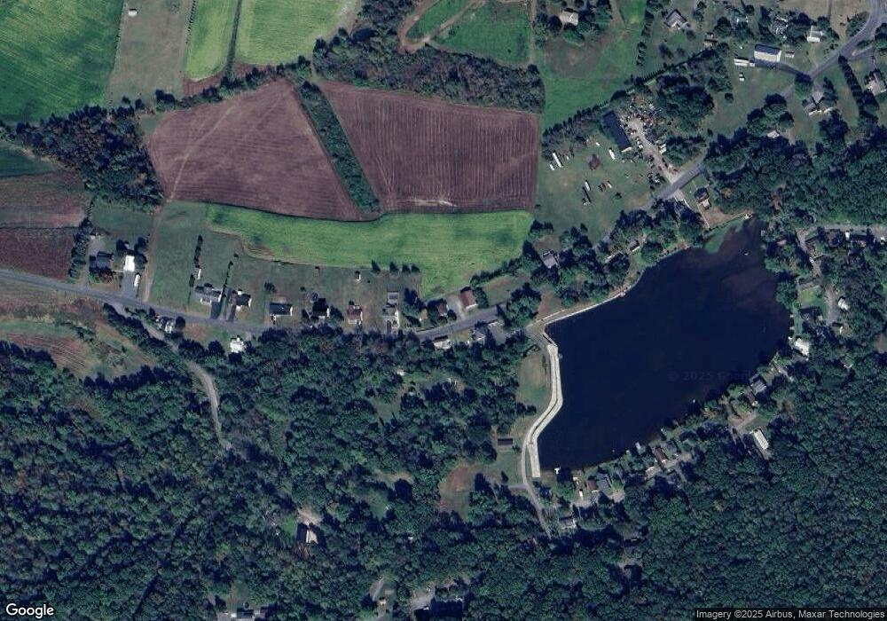
Map
Nearby Homes
- 0 Airport Rd Unit PASK2024112
- 572 Airport Rd
- 604 Airport Rd
- 416 Dutchtown Rd
- 0 W Side of Stein Rd
- 31 Upper Beechwood Ave
- 60 South St
- 505 Mcknight St
- 323 N Hobart St
- 310 Hobart St
- 0 Dutchtown Rd
- 0 Weishample Rd Unit 20-101360
- Cambridge Plan at Country Club Estates
- New Yorker Plan at Country Club Estates
- Juniper Plan at Country Club Estates
- Stafford Plan at Country Club Estates
- Iowa Plan at Country Club Estates
- 2200 Spruce St
- 2134 Centre St
- 132 Turnpike Rd