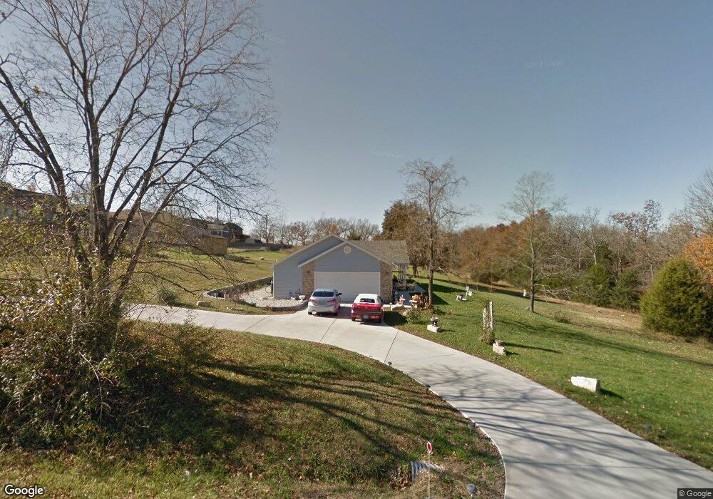
279 Deano Rd Branson, MO 65616
Estimated Value: $257,239 - $427,000
Studio
--
Bath
1,487
Sq Ft
$219/Sq Ft
Est. Value
About This Home
This home is located at 279 Deano Rd, Branson, MO 65616 and is currently estimated at $325,060, approximately $218 per square foot. 279 Deano Rd is a home with nearby schools including Cedar Ridge Primary, Cedar Ridge Intermediate School, and Cedar Ridge Elementary School.
Ownership History
Date
Name
Owned For
Owner Type
Purchase Details
Closed on
Sep 8, 2022
Sold by
Alexander Thomas M and Alexander Gloria L
Bought by
Claussen Tiffani Desiree
Current Estimated Value
Home Financials for this Owner
Home Financials are based on the most recent Mortgage that was taken out on this home.
Original Mortgage
$196,500
Outstanding Balance
$187,546
Interest Rate
5.3%
Mortgage Type
New Conventional
Estimated Equity
$137,514
Purchase Details
Closed on
Aug 18, 2022
Sold by
Revocable Trust Of Thomas M Alexander An and Alexander Thomas M
Bought by
Alexander Thomas M and Alexander Gloria L
Home Financials for this Owner
Home Financials are based on the most recent Mortgage that was taken out on this home.
Original Mortgage
$196,500
Outstanding Balance
$187,546
Interest Rate
5.3%
Mortgage Type
New Conventional
Estimated Equity
$137,514
Purchase Details
Closed on
Apr 20, 2011
Sold by
Ozark Mountain Bank
Bought by
Alexander Thomas M and Alexander Gloria L
Create a Home Valuation Report for This Property
The Home Valuation Report is an in-depth analysis detailing your home's value as well as a comparison with similar homes in the area
Purchase History
| Date | Buyer | Sale Price | Title Company |
|---|---|---|---|
| Claussen Tiffani Desiree | -- | -- | |
| Alexander Thomas M | -- | None Listed On Document | |
| Alexander Thomas M | -- | Great American Title |
Source: Public Records
Mortgage History
| Date | Status | Borrower | Loan Amount |
|---|---|---|---|
| Open | Claussen Tiffani Desiree | $196,500 |
Source: Public Records
Tax History
| Year | Tax Paid | Tax Assessment Tax Assessment Total Assessment is a certain percentage of the fair market value that is determined by local assessors to be the total taxable value of land and additions on the property. | Land | Improvement |
|---|---|---|---|---|
| 2025 | $1,232 | $21,830 | -- | -- |
| 2024 | $1,232 | $23,740 | -- | -- |
| 2023 | $1,232 | $23,740 | -- | -- |
| 2022 | $1,197 | $23,740 | $0 | $0 |
| 2021 | $1,191 | $23,740 | $0 | $0 |
| 2019 | $1,088 | $21,140 | $0 | $0 |
| 2018 | $1,089 | $21,140 | $0 | $0 |
| 2017 | $1,041 | $20,410 | $0 | $0 |
| 2016 | $1,039 | $20,410 | $0 | $0 |
| 2015 | $1,031 | $20,410 | $0 | $0 |
| 2014 | $947 | $19,610 | $0 | $0 |
Source: Public Records
Map
Nearby Homes
- 216 Deano Rd
- 223 North Fork
- 182 Woodson Bend Rd
- 150 Woodson Bend Rd
- 622 Lake Shore Dr
- 332 Taney St
- 000 E State Highway 76
- 440 Spring Meadow Pkwy
- 218 Windridge Rd
- 150 Whispering Meadows Pkwy
- 406 Spring Meadow Pkwy
- 10202 Branson Landing Blvd Unit 202
- 1156 E State Highway 76
- 123 Primrose Ln
- 220 Angels Trail
- 22 Willow Ct
- 128 Knowledge Ave Unit 2
- 104 Primrose Ln
- 2204 Branson Landing Blvd
- 141 Knowledge Ave Unit C
Your Personal Tour Guide
Ask me questions while you tour the home.