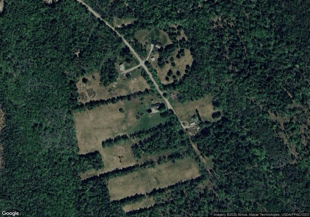
279 Denbow Rd Saint Albans, ME 04971
Estimated Value: $174,000 - $249,000
2
Beds
2
Baths
1,350
Sq Ft
$155/Sq Ft
Est. Value
About This Home
This home is located at 279 Denbow Rd, Saint Albans, ME 04971 and is currently estimated at $208,953, approximately $154 per square foot. 279 Denbow Rd is a home with nearby schools including St Albans Consolidated, Somerset Elementary School, and Nokomis Regional Middle School/High School.
Ownership History
Date
Name
Owned For
Owner Type
Purchase Details
Closed on
Aug 14, 2024
Sold by
Denbow Charles T and Denbow Jayene R
Bought by
Denbow Matthew R and Denbow Rebecca L
Current Estimated Value
Create a Home Valuation Report for This Property
The Home Valuation Report is an in-depth analysis detailing your home's value as well as a comparison with similar homes in the area
Home Values in the Area
Average Home Value in this Area
Purchase History
| Date | Buyer | Sale Price | Title Company |
|---|---|---|---|
| Denbow Matthew R | -- | None Available | |
| Denbow Matthew R | -- | None Available |
Source: Public Records
Tax History Compared to Growth
Tax History
| Year | Tax Paid | Tax Assessment Tax Assessment Total Assessment is a certain percentage of the fair market value that is determined by local assessors to be the total taxable value of land and additions on the property. | Land | Improvement |
|---|---|---|---|---|
| 2022 | $2,467 | $147,300 | $41,300 | $106,000 |
| 2021 | $2,467 | $147,300 | $41,300 | $106,000 |
| 2020 | $2,467 | $147,300 | $41,300 | $106,000 |
| 2019 | $2,467 | $147,300 | $41,300 | $106,000 |
| 2018 | $2,423 | $147,300 | $41,300 | $106,000 |
| 2017 | $2,408 | $147,300 | $41,300 | $106,000 |
| 2016 | $2,049 | $92,300 | $23,200 | $69,100 |
| 2015 | $1,874 | $92,300 | $23,200 | $69,100 |
| 2012 | $1,323 | $72,700 | $23,200 | $49,500 |
Source: Public Records
Map
Nearby Homes
- M6 L22C Stage Rd
- 43 Stage Rd
- 630C Warren Hill Rd
- 630B Warren Hill Rd
- 47 Higgins Rd
- 700 Warren Hill Rd
- 4 Main St
- 30 Main St
- Po M7 L3-1 Wyman Rd
- 191 Wyman Rd
- PO M7 L3-1 Wyman Rd
- 19 Mason Corner Rd
- 33 Brown Rd
- 111 Elm St
- PO72,P090 Cotta Lane & Rt 43
- 83 Commercial St
- 20 Burton St
- 247 Commercial St
- 37 North St
- 71 Pittsfield Ave
