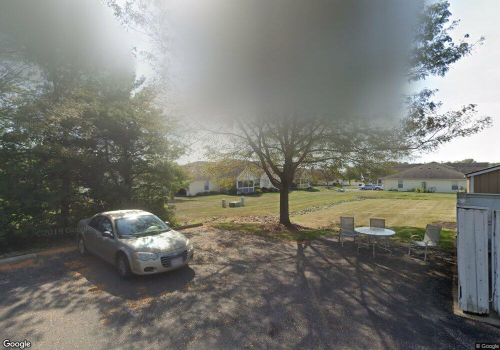
279 Goosepond Rd Unit B Newark, OH 43055
Estimated Value: $201,000 - $238,000
3
Beds
2
Baths
1,132
Sq Ft
$196/Sq Ft
Est. Value
About This Home
This home is located at 279 Goosepond Rd Unit B, Newark, OH 43055 and is currently estimated at $221,507, approximately $195 per square foot. 279 Goosepond Rd Unit B is a home located in Licking County with nearby schools including Legend Elementary School, Liberty Middle School, and Newark High School.
Ownership History
Date
Name
Owned For
Owner Type
Purchase Details
Closed on
Jan 29, 2019
Sold by
Mckee Connie S and Blake Karen M
Bought by
Blake Karen M
Current Estimated Value
Purchase Details
Closed on
Jun 14, 2004
Sold by
Delawder Linda S and Cramer Clyde A
Bought by
Sidle John G and Sidle Leona I
Purchase Details
Closed on
May 17, 2004
Sold by
Delawder Charles Daniel and Delawder Diane S
Bought by
Delawder Linda S and Delawder Steve A
Purchase Details
Closed on
May 10, 2004
Sold by
Estate Of Norma J Delawder
Bought by
Delawder Linda Sue and Delawder Steve Alan
Purchase Details
Closed on
Aug 28, 2003
Sold by
Henderson Earlene
Bought by
Delawder Norma Jean
Purchase Details
Closed on
Feb 5, 1999
Sold by
R P M Management Inc
Bought by
Waters Marian J
Create a Home Valuation Report for This Property
The Home Valuation Report is an in-depth analysis detailing your home's value as well as a comparison with similar homes in the area
Home Values in the Area
Average Home Value in this Area
Purchase History
| Date | Buyer | Sale Price | Title Company |
|---|---|---|---|
| Blake Karen M | -- | None Available | |
| Sidle John G | $115,000 | -- | |
| Delawder Linda S | -- | -- | |
| Delawder Linda Sue | -- | -- | |
| Delawder Norma Jean | $115,000 | -- | |
| Waters Marian J | $96,900 | -- |
Source: Public Records
Tax History Compared to Growth
Tax History
| Year | Tax Paid | Tax Assessment Tax Assessment Total Assessment is a certain percentage of the fair market value that is determined by local assessors to be the total taxable value of land and additions on the property. | Land | Improvement |
|---|---|---|---|---|
| 2024 | $2,186 | $61,150 | $17,500 | $43,650 |
| 2023 | $2,183 | $61,150 | $17,500 | $43,650 |
| 2022 | $1,662 | $41,410 | $5,460 | $35,950 |
| 2021 | $1,743 | $41,410 | $5,460 | $35,950 |
| 2020 | $1,782 | $41,410 | $5,460 | $35,950 |
| 2019 | $1,626 | $35,460 | $4,200 | $31,260 |
| 2018 | $1,627 | $0 | $0 | $0 |
| 2017 | $1,302 | $0 | $0 | $0 |
| 2016 | $1,024 | $0 | $0 | $0 |
| 2015 | $1,046 | $0 | $0 | $0 |
| 2014 | -- | $0 | $0 | $0 |
| 2013 | $1,145 | $0 | $0 | $0 |
Source: Public Records
Map
Nearby Homes
- 267 Goosepond Rd Unit A
- 261 Goosepond Rd Unit D
- 259 Goosepond Rd Unit C
- 1495 Kenarbre Dr
- 1518 Constitution Ct
- 336 Myrtle Ave
- 139 Aqueduct Ave
- 106 Santa Anita Ave Unit 21A
- 105 Pimlico Ave
- 1684 Churchill Downs Rd
- 1738 Scioto Way
- 1345 Sherwood Downs Rd W
- 47 Northpointe Ln Unit 47
- 11 Waterworks Rd
- 734 Whitetail Loop
- 988 Mount Vernon Rd
- 763 Whitetail Loop
- 752 Whitetail Loop
- 750 Whitetail Loop
- 892 Shelbourne Place Unit 892
- 279 Goosepond Rd Unit D
- 279 Goosepond Rd Unit C
- 279 Goosepond Rd Unit A
- 279 Goosepond Rd Unit C
- 281 Goosepond Rd Unit D
- 281 Goosepond Rd Unit C
- 281 Goosepond Rd Unit B
- 281 Goosepond Rd Unit A
- 289 Goose Pond Rd Unit B
- 289 Goosepond Rd Unit D
- 289 Goosepond Rd Unit C
- 289 Goosepond Rd Unit B
- 289 Goosepond Rd Unit A
- 277 Goosepond Rd Unit D
- 277 Goosepond Rd Unit C
- 277 Goosepond Rd Unit B
- 277 Goosepond Rd Unit A
- 293 Goosepond Rd Unit D
- 293 Goosepond Rd Unit C
- 293 Goosepond Rd Unit B
