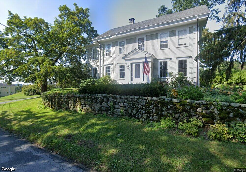
279 High St Topsfield, MA 01983
Estimated Value: $993,000 - $1,432,339
5
Beds
4
Baths
2,700
Sq Ft
$455/Sq Ft
Est. Value
About This Home
This home is located at 279 High St, Topsfield, MA 01983 and is currently estimated at $1,228,085, approximately $454 per square foot. 279 High St is a home located in Essex County with nearby schools including Steward Elementary School, Proctor Elementary School, and Masconomet Regional Middle School.
Create a Home Valuation Report for This Property
The Home Valuation Report is an in-depth analysis detailing your home's value as well as a comparison with similar homes in the area
Home Values in the Area
Average Home Value in this Area
Tax History Compared to Growth
Tax History
| Year | Tax Paid | Tax Assessment Tax Assessment Total Assessment is a certain percentage of the fair market value that is determined by local assessors to be the total taxable value of land and additions on the property. | Land | Improvement |
|---|---|---|---|---|
| 2025 | $18,875 | $1,259,200 | $480,600 | $778,600 |
| 2024 | $18,498 | $1,259,200 | $480,600 | $778,600 |
| 2023 | $17,922 | $1,179,100 | $445,500 | $733,600 |
| 2022 | $17,774 | $1,067,500 | $445,500 | $622,000 |
| 2021 | $16,404 | $915,400 | $406,300 | $509,100 |
| 2020 | $15,946 | $915,400 | $406,300 | $509,100 |
| 2019 | $15,120 | $889,400 | $406,300 | $483,100 |
| 2018 | $14,923 | $859,600 | $400,300 | $459,300 |
| 2017 | $13,969 | $825,100 | $387,200 | $437,900 |
| 2016 | $12,689 | $768,100 | $369,800 | $398,300 |
Source: Public Records
Map
Nearby Homes
- 95 Salem Rd
- 219 Topsfield Rd
- 19 Bridle Spur Ln
- 2 Woodbrier Rd
- 117 Perkins Row
- 10 Maple St
- 47 Maple St
- 1 Morgan Dr
- 14 Alderbrook Dr
- 92 Pleasant St
- 7 Wildwood Rd
- 15 Middlewood Dr Unit 15
- 115 Pleasant St
- 33 Reservoir Dr
- 4 Chatham Ln
- 78 North St
- 232 Lake Dr
- 41 Mohawk St
- 281 Rowley Bridge Rd Unit 7
- 26 Mohawk St