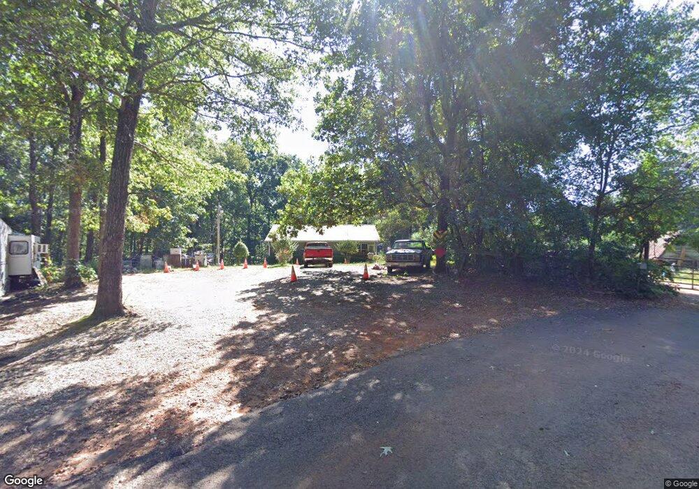
279 King Arthur Ct Dahlonega, GA 30533
Estimated Value: $169,000 - $262,000
3
Beds
2
Baths
1,092
Sq Ft
$214/Sq Ft
Est. Value
About This Home
This home is located at 279 King Arthur Ct, Dahlonega, GA 30533 and is currently estimated at $233,676, approximately $213 per square foot. 279 King Arthur Ct is a home located in Lumpkin County with nearby schools including Lumpkin County High School.
Ownership History
Date
Name
Owned For
Owner Type
Purchase Details
Closed on
Nov 15, 2004
Sold by
Garrett Bobbie
Bought by
Evans Tommy G
Current Estimated Value
Purchase Details
Closed on
May 26, 2004
Sold by
Yurner Mountain Llc
Bought by
Garrett Bobbie
Purchase Details
Closed on
May 5, 1998
Sold by
Chason D Clay
Bought by
Yurner Mountain Llc
Purchase Details
Closed on
Dec 2, 1988
Bought by
Chason D Clay
Create a Home Valuation Report for This Property
The Home Valuation Report is an in-depth analysis detailing your home's value as well as a comparison with similar homes in the area
Home Values in the Area
Average Home Value in this Area
Purchase History
| Date | Buyer | Sale Price | Title Company |
|---|---|---|---|
| Evans Tommy G | $104,000 | -- | |
| Garrett Bobbie | $25,000 | -- | |
| Yurner Mountain Llc | $1,000 | -- | |
| Chason D Clay | $11,000 | -- |
Source: Public Records
Tax History Compared to Growth
Tax History
| Year | Tax Paid | Tax Assessment Tax Assessment Total Assessment is a certain percentage of the fair market value that is determined by local assessors to be the total taxable value of land and additions on the property. | Land | Improvement |
|---|---|---|---|---|
| 2024 | $1,702 | $75,261 | $8,000 | $67,261 |
| 2023 | $1,194 | $70,316 | $8,000 | $62,316 |
| 2022 | $1,421 | $59,411 | $8,000 | $51,411 |
| 2021 | $1,184 | $48,237 | $8,000 | $40,237 |
| 2020 | $1,134 | $44,977 | $6,000 | $38,977 |
| 2019 | $1,144 | $44,977 | $6,000 | $38,977 |
| 2018 | $1,083 | $40,167 | $6,000 | $34,167 |
| 2017 | $1,039 | $37,933 | $6,000 | $31,933 |
| 2016 | $979 | $34,748 | $6,000 | $28,748 |
| 2015 | $872 | $34,748 | $6,000 | $28,748 |
| 2014 | $872 | $35,068 | $6,000 | $29,068 |
| 2013 | -- | $35,387 | $6,000 | $29,387 |
Source: Public Records
Map
Nearby Homes
- 94 King Arthur Ct
- 350 Galahad Rd
- 238 Sunrise Trail
- 0 Myrtle Dr Unit 7650061
- 0 Myrtle Dr Unit 10607430
- 151 Norris Rd
- 219 John Garner Rd
- 0 Gold View Dr
- 87 Tolleffs Trail
- 1405 Mount Olive Church Rd
- 1433 Mount Olive Church Rd
- 1425 Mount Olive Church Rd
- 118 Pine Corner Dr
- 112 Pine Corner Dr
- 100 Rocky Branch Dr
- 128 Young Deer Dr
- 600 Chapman Ridge Ln
- 500 Chapman Ridge Ln
- 27.68 Chapman Ridge Ln
- 296 Norman Bell Rd
- 280 King Arthur Ct
- 329 Merlin Dr
- 246 King Arthur Ct
- 219 King Arthur Ct
- 99 Merlin Dr
- 51 Merlin Dr
- 227 Lancelot Rd
- 280 Jeff Sullens Rd
- 26 Merlin Dr
- 92 Merlin Dr
- 25 Roundtable Ct
- 18 Merlin Dr
- 199 Lancelot Rd
- 228 Lancelot Rd
- 34 Roundtable Ct
- 88 King Arthur Ct
- 393 Lancelot Rd
- 373 Pine Tree Ln
- 46 King Arthur Ct Unit 15
- 164 Apple Valley Rd