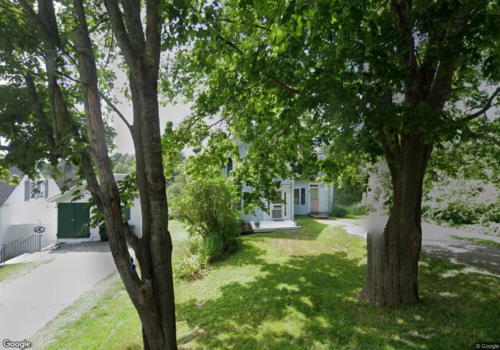
279 Ocean Point Rd East Boothbay, ME 04544
Estimated Value: $310,381 - $459,000
2
Beds
1
Bath
885
Sq Ft
$448/Sq Ft
Est. Value
About This Home
This home is located at 279 Ocean Point Rd, East Boothbay, ME 04544 and is currently estimated at $396,345, approximately $447 per square foot. 279 Ocean Point Rd is a home located in Lincoln County with nearby schools including Boothbay Region Elementary School and Boothbay Region High School.
Ownership History
Date
Name
Owned For
Owner Type
Purchase Details
Closed on
Nov 30, 2023
Sold by
Linekin Partners Llc
Bought by
Fgi Realty Llc
Current Estimated Value
Home Financials for this Owner
Home Financials are based on the most recent Mortgage that was taken out on this home.
Original Mortgage
$2,700,000
Outstanding Balance
$2,651,814
Interest Rate
7.63%
Mortgage Type
Purchase Money Mortgage
Estimated Equity
-$2,255,469
Create a Home Valuation Report for This Property
The Home Valuation Report is an in-depth analysis detailing your home's value as well as a comparison with similar homes in the area
Home Values in the Area
Average Home Value in this Area
Purchase History
| Date | Buyer | Sale Price | Title Company |
|---|---|---|---|
| Fgi Realty Llc | $250,000 | None Available |
Source: Public Records
Mortgage History
| Date | Status | Borrower | Loan Amount |
|---|---|---|---|
| Open | Fgi Realty Llc | $2,700,000 |
Source: Public Records
Tax History Compared to Growth
Tax History
| Year | Tax Paid | Tax Assessment Tax Assessment Total Assessment is a certain percentage of the fair market value that is determined by local assessors to be the total taxable value of land and additions on the property. | Land | Improvement |
|---|---|---|---|---|
| 2024 | $2,104 | $185,370 | $119,194 | $66,176 |
| 2023 | $1,863 | $185,370 | $119,194 | $66,176 |
| 2022 | $1,724 | $185,370 | $119,194 | $66,176 |
| 2021 | $1,770 | $185,370 | $119,194 | $66,176 |
| 2020 | $1,780 | $185,370 | $119,194 | $66,176 |
| 2019 | $1,752 | $185,370 | $119,194 | $66,176 |
| 2018 | $1,724 | $185,370 | $119,194 | $66,176 |
| 2017 | $1,728 | $187,800 | $102,500 | $85,300 |
| 2016 | $1,653 | $187,800 | $102,500 | $85,300 |
| 2015 | $1,643 | $187,800 | $102,500 | $85,300 |
| 2014 | $1,596 | $187,800 | $102,500 | $85,300 |
Source: Public Records
Map
Nearby Homes
- 239 Ocean Point Rd
- 210 Ocean Point Rd
- 5 Massachusetts Ave
- 23 Meadow Cove Rd
- 35 Rice Rd
- 12 Westwind Dr
- 98 Meadow Cove Rd
- 28 & 31 Will Alley Rd
- 127 Appalachee Rd
- 25 Pineview Ridge Rd
- 19 Hill Rd
- 44 King Phillips Trail
- 74 & 76 Bay St
- 86 Firth Dr
- 31 Bay St
- Lts 23A&24 Birch Island
- Birch Island
- 66 Townsend Ave
- 43 Oak St
- 66 Townsend Avenue & 43 Oak St
- 281 Ocean Point Rd
- 281 Ocean Point Rd
- 275 Ocean Point Rd
- 283 Ocean Point Rd
- 274 Ocean Point Rd
- 269 Ocean Point Rd
- 18 Merry Ln
- 294 Ocean Point Rd
- 263 Ocean Point Rd
- 294 Ocean Point Rd
- 264 Ocean Point Rd
- 295 Ocean Point Rd
- 255 Ocean Point Rd
- 259 Ocean Point Rd
- 00 Murray Hill
- 246 Ocean Point Rd
- 298 Ocean Point Rd
- 288 Ocean Point Rd
- 282 Ocean Point Rd
- 280 Ocean Point Rd