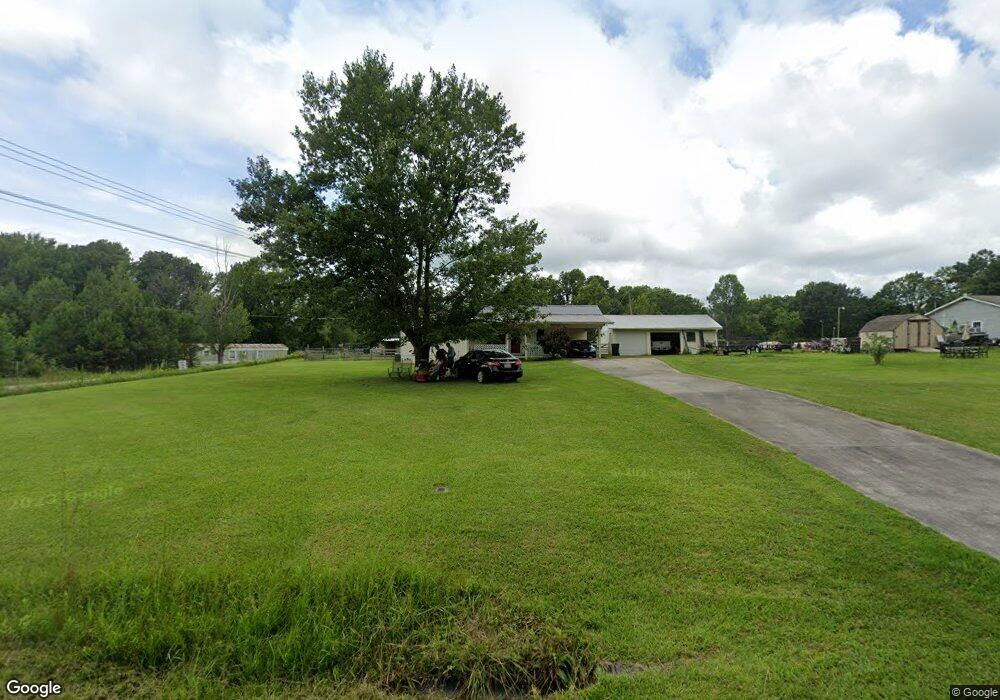
279 Peach Tree Rd Hartselle, AL 35640
Estimated Value: $176,636 - $232,000
3
Beds
2
Baths
1,076
Sq Ft
$186/Sq Ft
Est. Value
About This Home
This home is located at 279 Peach Tree Rd, Hartselle, AL 35640 and is currently estimated at $200,159, approximately $186 per square foot. 279 Peach Tree Rd is a home located in Morgan County with nearby schools including Sparkman Elementary School, Albert P. Brewer High School, and Bethel Baptist School.
Ownership History
Date
Name
Owned For
Owner Type
Purchase Details
Closed on
Feb 15, 2024
Sold by
Worthington Sherri L and Dyson Randall
Bought by
Dyson Sherri and Dyson Randall
Current Estimated Value
Purchase Details
Closed on
Dec 18, 2008
Sold by
The Secretary Of Veterans Affairs
Bought by
Worthington Sherri L
Home Financials for this Owner
Home Financials are based on the most recent Mortgage that was taken out on this home.
Original Mortgage
$2,217
Interest Rate
5.96%
Mortgage Type
New Conventional
Create a Home Valuation Report for This Property
The Home Valuation Report is an in-depth analysis detailing your home's value as well as a comparison with similar homes in the area
Home Values in the Area
Average Home Value in this Area
Purchase History
| Date | Buyer | Sale Price | Title Company |
|---|---|---|---|
| Dyson Sherri | $107,000 | None Listed On Document | |
| Worthington Sherri L | $73,900 | None Available |
Source: Public Records
Mortgage History
| Date | Status | Borrower | Loan Amount |
|---|---|---|---|
| Previous Owner | Worthington Sherri L | $2,217 | |
| Previous Owner | Worthington Sherri L | $72,937 |
Source: Public Records
Tax History Compared to Growth
Tax History
| Year | Tax Paid | Tax Assessment Tax Assessment Total Assessment is a certain percentage of the fair market value that is determined by local assessors to be the total taxable value of land and additions on the property. | Land | Improvement |
|---|---|---|---|---|
| 2024 | $346 | $10,680 | $1,260 | $9,420 |
| 2023 | $346 | $10,700 | $1,260 | $9,440 |
| 2022 | $347 | $10,710 | $1,260 | $9,450 |
| 2021 | $308 | $9,640 | $1,710 | $7,930 |
| 2020 | $290 | $16,670 | $1,710 | $14,960 |
| 2019 | $290 | $9,200 | $0 | $0 |
| 2015 | $243 | $8,240 | $0 | $0 |
| 2014 | $243 | $7,920 | $0 | $0 |
| 2013 | -- | $7,140 | $0 | $0 |
Source: Public Records
Map
Nearby Homes
- 199 Peach Tree Rd
- 271 Highway 36 E
- 433 Lando Cain Rd
- The Rockford B Plan at Cain Park
- The Kirkland with Bonus Plan at Cain Park
- The Harrison with Bonus Plan at Cain Park
- The Rockford Plan at Cain Park
- The Montgomery with Bonus Plan at Cain Park
- The Madison A Plan at Cain Park
- The Montgomery Plan at Cain Park
- The Emory Plan at Cain Park
- The Harrison Plan at Cain Park
- The Rockford with Bonus Plan at Cain Park
- 431 Lando Cain Rd
- 432 Ronnie Dr SE
- 829 Ronnie Dr SE
- 901 Ronnie Dr SE
- 905 Ronnie Dr
- 907 Ronnie Dr SE
- 815 Ronnie Dr SE
- 267 Peach Tree Rd
- 380 Peach Tree Rd
- 265 Peach Tree Rd
- 262 Peach Tree Rd
- 256 Peach Tree Rd
- 378 E Byrd Rd
- 233 Peach Tree Rd
- 384 E Byrd Rd
- 242 Peach Tree Rd
- 371 E Byrd Rd
- 362 E Byrd Rd
- 210 Peach Tree Rd
- 234 Peach Tree Rd
- 223 Peach Tree Rd
- 20 Rolling Meadows Rd SE
- 10 Rolling Meadows Rd SE
- 32 Rolling Meadows Rd SE
- 224 Peach Tree Rd
- 38 Rolling Meadows Rd SE
- 211 Peach Tree Rd