Estimated Value: $633,653 - $1,485,000
--
Bed
--
Bath
3,266
Sq Ft
$338/Sq Ft
Est. Value
About This Home
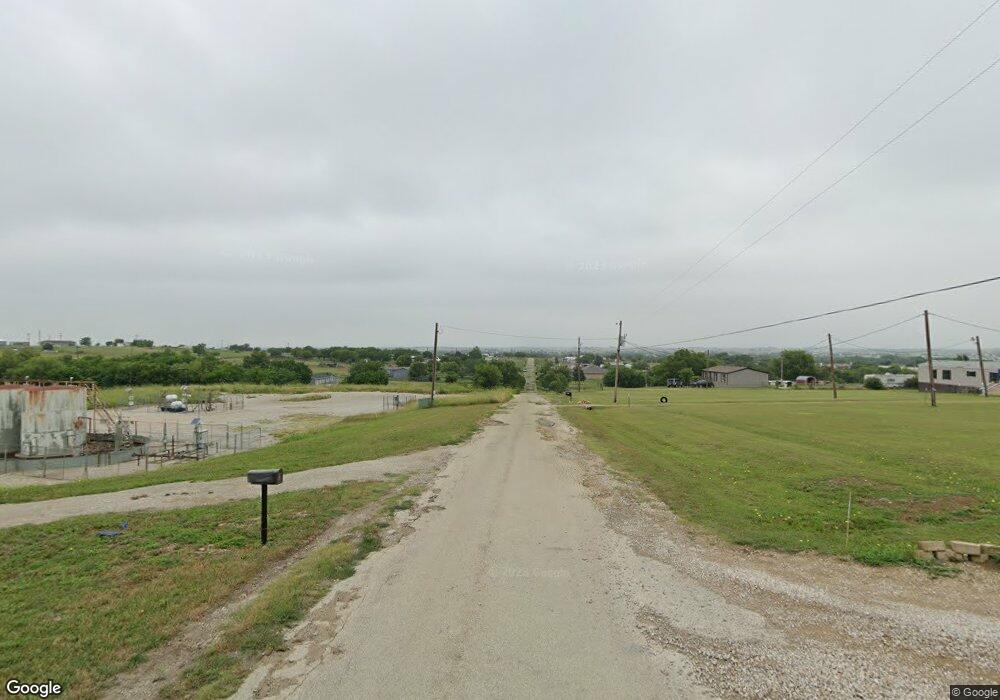
This home is located at 279 Prairie Trail Unit 4418, Rhome, TX 76078 and is currently estimated at $1,103,663, approximately $337 per square foot. 279 Prairie Trail Unit 4418 is a home located in Wise County with nearby schools including Decatur High School.
Ownership History
Date
Name
Owned For
Owner Type
Purchase Details
Closed on
Jul 16, 2013
Sold by
Lowe David
Bought by
Lowe David
Current Estimated Value
Purchase Details
Closed on
Aug 2, 2005
Sold by
Chisum Kenneth J and Chisum Connie S
Bought by
Lowe David R and Lowe Margaret Ann
Purchase Details
Closed on
Jun 5, 1998
Bought by
Lowe David
Purchase Details
Closed on
May 26, 1993
Bought by
Lowe David
Purchase Details
Closed on
Feb 12, 1988
Bought by
Lowe David
Create a Home Valuation Report for This Property
The Home Valuation Report is an in-depth analysis detailing your home's value as well as a comparison with similar homes in the area
Home Values in the Area
Average Home Value in this Area
Purchase History
| Date | Buyer | Sale Price | Title Company |
|---|---|---|---|
| Lowe David | -- | -- | |
| Lowe David R | -- | None Available | |
| Lowe David | -- | -- | |
| Lowe David | -- | -- | |
| Lowe David | -- | -- |
Source: Public Records
Tax History Compared to Growth
Tax History
| Year | Tax Paid | Tax Assessment Tax Assessment Total Assessment is a certain percentage of the fair market value that is determined by local assessors to be the total taxable value of land and additions on the property. | Land | Improvement |
|---|---|---|---|---|
| 2025 | $5,206 | $524,608 | $19,674 | $504,934 |
| 2024 | $5,206 | $525,387 | $0 | $0 |
| 2023 | $5,770 | $494,731 | $0 | $0 |
| 2022 | $6,663 | $451,008 | $0 | $0 |
| 2021 | $6,328 | $406,320 | $23,240 | $383,080 |
| 2020 | $5,886 | $382,760 | $19,240 | $363,520 |
| 2019 | $5,699 | $341,250 | $19,240 | $322,010 |
| 2018 | $5,790 | $334,440 | $16,620 | $317,820 |
| 2017 | $5,351 | $308,220 | $13,620 | $294,600 |
| 2016 | $4,938 | $304,120 | $12,620 | $291,500 |
| 2015 | -- | $285,020 | $11,620 | $273,400 |
| 2014 | -- | $271,110 | $5,810 | $265,300 |
Source: Public Records
Map
Nearby Homes
- 173 Prairie Trail
- 279 Ridge Trail
- 146 Ridge Trail
- 234 Private Road 4441
- 276 Coyote Trail
- 220 Coyote Trail
- 308 Coyote Trail
- 175 Private Road 4420
- 510 Chisholm Hills Dr
- 414 County Road 4421
- 249 Private Road 4434
- 279 Private Road 4418
- 109 Hawkins Way
- 461 Lange Way
- 5090 Fm 2264
- 237 Chisholm Hills Dr
- 336 Wilson Ct
- TBD Branding Iron Rd
- 135 Branding Iron Rd
- 268 Hilltop Trail
- 336 Prairie Trail Unit 4721
- 332 Prairie Trail Unit 4820
- 261 Prairie Trail Unit L
- 318 Prairie Trail Unit 4720
- 315 Prairie Trail
- 275 Prairie Trail
- 282 Prairie Trail
- 313 Prairie Trail Unit 4737
- 251 Prairie Trail
- 312 Prairie Trail Unit 4737
- 243 Prairie Trail
- 307 Prairie Trail Unit 4823
- 287 Prairie Trail
- 235 Prairie Trail
- 231 Prairie Trail
- 301 Prairie Trail Unit 4426
- 227 Prairie Trail
- TBD2 Prairie Trail
- TBD1 Prairie Trail
- 00 Prairie Trail