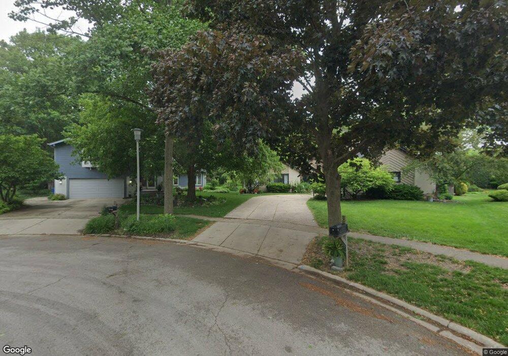
279 Roslara Ct Bartlett, IL 60103
Estimated Value: $504,277 - $549,000
4
Beds
3
Baths
2,684
Sq Ft
$194/Sq Ft
Est. Value
About This Home
This home is located at 279 Roslara Ct, Bartlett, IL 60103 and is currently estimated at $519,569, approximately $193 per square foot. 279 Roslara Ct is a home located in Cook County with nearby schools including Bartlett Elementary School, Eastview Middle School, and South Elgin High School.
Ownership History
Date
Name
Owned For
Owner Type
Purchase Details
Closed on
Aug 27, 2020
Sold by
Swing Thomas R and Thomas R Swing 2003 Trust
Bought by
Swing Thomas R and Swing Sharon K
Current Estimated Value
Purchase Details
Closed on
Jan 10, 2003
Sold by
Swing Thomas R and Swing Sharon K
Bought by
Swing Thomas R and Thomas R Swing 2003 Trust
Purchase Details
Closed on
Aug 4, 1995
Sold by
Snorek Linda Jarvis
Bought by
Swing Thomas R and Swing Sharon K
Home Financials for this Owner
Home Financials are based on the most recent Mortgage that was taken out on this home.
Original Mortgage
$168,000
Interest Rate
7.51%
Create a Home Valuation Report for This Property
The Home Valuation Report is an in-depth analysis detailing your home's value as well as a comparison with similar homes in the area
Home Values in the Area
Average Home Value in this Area
Purchase History
| Date | Buyer | Sale Price | Title Company |
|---|---|---|---|
| Swing Thomas R | -- | Attorney | |
| Swing Thomas R | -- | -- | |
| Swing Thomas R | -- | -- | |
| Swing Thomas R | $210,000 | -- |
Source: Public Records
Mortgage History
| Date | Status | Borrower | Loan Amount |
|---|---|---|---|
| Closed | Swing Thomas R | $168,000 |
Source: Public Records
Tax History
| Year | Tax Paid | Tax Assessment Tax Assessment Total Assessment is a certain percentage of the fair market value that is determined by local assessors to be the total taxable value of land and additions on the property. | Land | Improvement |
|---|---|---|---|---|
| 2025 | $9,284 | $47,000 | $10,984 | $36,016 |
| 2024 | $9,284 | $35,297 | $9,611 | $25,686 |
| 2023 | $10,045 | $39,000 | $9,611 | $29,389 |
| 2022 | $10,045 | $39,000 | $9,611 | $29,389 |
| 2021 | $8,881 | $29,896 | $8,238 | $21,658 |
| 2020 | $9,823 | $29,896 | $8,238 | $21,658 |
| 2019 | $9,768 | $33,218 | $8,238 | $24,980 |
| 2018 | $9,389 | $29,700 | $7,208 | $22,492 |
| 2017 | $9,252 | $29,700 | $7,208 | $22,492 |
| 2016 | $8,927 | $29,700 | $7,208 | $22,492 |
| 2015 | $8,474 | $26,517 | $6,521 | $19,996 |
| 2014 | $8,386 | $26,517 | $6,521 | $19,996 |
| 2013 | $8,044 | $26,517 | $6,521 | $19,996 |
Source: Public Records
Map
Nearby Homes
- 123 N Western Ave
- 420 Ford Ln
- 401 W Oneida Ave
- 403 W Oneida Ave
- 600 W Lake St
- 3056 Kingston Ct
- 238 S Devon Ave
- 3098 Lynnwood Ct
- 275 E Railroad Ave Unit 301
- 275 E Railroad Ave Unit 101
- 110 N Chase Ave
- 1341 Beverly Ln
- 4022 Oxford Ct
- 119 E Railroad Ave
- 434 Locksley Dr
- 2074 Essex Ct Unit 2074
- SWC Illinois Route 59
- 194 Robert Ct Unit A
- 148 Locksley Dr
- 195 Mary Ct Unit A
- 280 Roslara Ct
- 269 Roslara Ct
- 270 Roslara Ct
- 259 Roslara Ct
- 260 Roslara Ct
- 246 Patricia Ln
- 238 Patricia Ln
- 232 Patricia Ln
- 254 Patricia Ln
- 281 Williamsburg Dr
- 220 N Western Ave
- 226 Patricia Ln
- 240 Roslara Ct
- 300 Patricia Ln
- 295 Williamsburg Dr
- 251 Williamsburg Dr
- 220 Patricia Ln
- 247 Williamsburg Dr
- 230 Roslara Ct
- 214 Patricia Ln
Your Personal Tour Guide
Ask me questions while you tour the home.