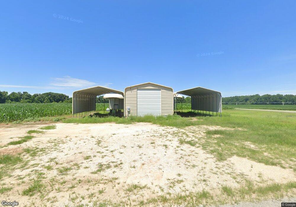
279 Steel Levee Rd Gleason, TN 38229
Estimated Value: $62,000 - $293,000
--
Bed
--
Bath
--
Sq Ft
1
Acres
About This Home
This home is located at 279 Steel Levee Rd, Gleason, TN 38229 and is currently estimated at $154,170. 279 Steel Levee Rd is a home.
Ownership History
Date
Name
Owned For
Owner Type
Purchase Details
Closed on
Mar 21, 2021
Sold by
Tosh Farms
Bought by
Stewart Steven W and Stewart Wynafer Sue
Current Estimated Value
Purchase Details
Closed on
Oct 17, 2019
Sold by
Brazel Larry Rand and Brazel Mary Michelle T
Bought by
Tosh Farms
Purchase Details
Closed on
Mar 14, 2013
Sold by
Brazel Larry Rand
Bought by
Stewart Steven W and Stewart Wynafer Sue
Purchase Details
Closed on
Feb 28, 2011
Sold by
Bridgeman Meike A
Bought by
Brazel Larry Rand
Purchase Details
Closed on
Jun 10, 2003
Sold by
Scott Robert H
Bought by
Union Planters Bank
Purchase Details
Closed on
Sep 4, 1987
Bought by
Scott Robert H and Joyce Ann
Create a Home Valuation Report for This Property
The Home Valuation Report is an in-depth analysis detailing your home's value as well as a comparison with similar homes in the area
Home Values in the Area
Average Home Value in this Area
Purchase History
| Date | Buyer | Sale Price | Title Company |
|---|---|---|---|
| Stewart Steven W | $25,000 | None Available | |
| Tosh Farms | $90,000 | None Available | |
| Stewart Steven W | $50,000 | -- | |
| Brazel Larry Rand | $50,837 | -- | |
| Union Planters Bank | $27,712 | -- | |
| Scott Robert H | $32,000 | -- |
Source: Public Records
Tax History Compared to Growth
Tax History
| Year | Tax Paid | Tax Assessment Tax Assessment Total Assessment is a certain percentage of the fair market value that is determined by local assessors to be the total taxable value of land and additions on the property. | Land | Improvement |
|---|---|---|---|---|
| 2024 | $141 | $10,325 | $2,125 | $8,200 |
| 2023 | $141 | $10,325 | $2,125 | $8,200 |
| 2022 | $210 | $10,650 | $1,250 | $9,400 |
| 2021 | $210 | $10,650 | $1,250 | $9,400 |
| 2020 | $210 | $10,650 | $1,250 | $9,400 |
| 2019 | $210 | $10,650 | $1,250 | $9,400 |
| 2018 | $210 | $10,650 | $1,250 | $9,400 |
| 2017 | $232 | $10,900 | $1,075 | $9,825 |
| 2016 | $232 | $10,900 | $0 | $0 |
| 2015 | $232 | $10,905 | $0 | $0 |
| 2014 | $166 | $7,785 | $0 | $0 |
Source: Public Records
Map
Nearby Homes
- 1041 Garrett Rd
- 500 Ross Rd
- 0 Mccain Unit 134829
- 3515 Highway 140 S
- 3515 Tennessee 140
- 3515 Highway 140 W
- 10665 Highway 54
- 1090 Tumbling Creek Rd
- 5605 Tennessee 140
- 2345 E Grove Rd
- 5605 Hwy 140 W
- 0 Tennessee 22
- 611 Tumbling Creek Rd
- 4583 Tennessee 22
- 213 Orchard St
- 305 Phelps St
- 119 E Grove Rd
- 210 E Union St
- 1466 Swinging Limb Rd
- 405 S Cedar St
- 248 Steele Levee Rd
- 189 Steele Levee Rd
- 3001 Tumbling Creek Rd
- 420 Steele Levee Rd
- 3027 Tumbling Creek Rd
- 3030 Tumbling Creek Rd
- 499 Steel Levee Rd
- 2730 Tumbling Creek Rd
- 3251 Tumbling Creek Rd
- 3250 Tumbling Creek Rd
- 2707 Tumbling Creek Rd
- 195 Butler Cemetary Rd
- 2631 Tumbling Creek Rd
- 175 Butler Cemetery Rd
- 175 Butler Cemetary Rd
- 3380 Tumbling Creek Rd
- 3440 Tumbling Creek Rd
- 255 Kb Ln
- 2460 Tumbling Creek Rd