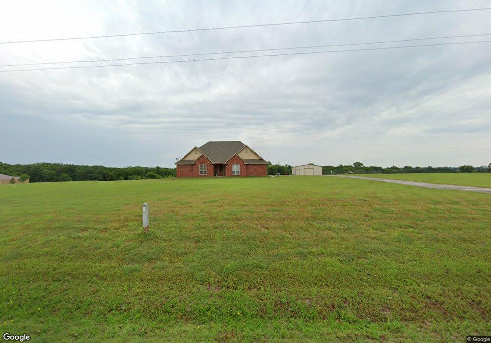
279150 E 1710 Rd Duncan, OK 73533
Estimated Value: $336,000 - $391,741
3
Beds
2
Baths
2,514
Sq Ft
$147/Sq Ft
Est. Value
About This Home
This home is located at 279150 E 1710 Rd, Duncan, OK 73533 and is currently estimated at $370,185, approximately $147 per square foot. 279150 E 1710 Rd is a home with nearby schools including Woodrow Wilson Elementary School, Duncan Middle School, and Duncan High School.
Ownership History
Date
Name
Owned For
Owner Type
Purchase Details
Closed on
Jan 27, 2012
Sold by
Mitchell Brad and Mitchell Brad D
Bought by
Soell Eugene and Soell Cara
Current Estimated Value
Home Financials for this Owner
Home Financials are based on the most recent Mortgage that was taken out on this home.
Original Mortgage
$267,346
Outstanding Balance
$183,460
Interest Rate
4%
Mortgage Type
New Conventional
Estimated Equity
$186,725
Create a Home Valuation Report for This Property
The Home Valuation Report is an in-depth analysis detailing your home's value as well as a comparison with similar homes in the area
Home Values in the Area
Average Home Value in this Area
Purchase History
| Date | Buyer | Sale Price | Title Company |
|---|---|---|---|
| Soell Eugene | $262,000 | None Available |
Source: Public Records
Mortgage History
| Date | Status | Borrower | Loan Amount |
|---|---|---|---|
| Open | Soell Eugene | $267,346 |
Source: Public Records
Tax History Compared to Growth
Tax History
| Year | Tax Paid | Tax Assessment Tax Assessment Total Assessment is a certain percentage of the fair market value that is determined by local assessors to be the total taxable value of land and additions on the property. | Land | Improvement |
|---|---|---|---|---|
| 2025 | $3,155 | $34,802 | $1,588 | $33,214 |
| 2024 | $3,155 | $33,146 | $1,513 | $31,633 |
| 2023 | $3,155 | $33,145 | $1,544 | $31,601 |
| 2022 | $2,856 | $31,567 | $1,480 | $30,087 |
| 2021 | $2,731 | $28,632 | $1,391 | $27,241 |
| 2020 | $2,794 | $29,164 | $1,391 | $27,773 |
| 2019 | $2,740 | $27,775 | $1,391 | $26,384 |
| 2018 | $2,764 | $28,040 | $1,391 | $26,649 |
| 2017 | $3,007 | $29,774 | $1,391 | $28,383 |
| 2016 | $2,872 | $28,817 | $1,391 | $27,426 |
| 2015 | $1,995 | $28,817 | $1,391 | $27,426 |
| 2014 | $1,995 | $28,817 | $1,391 | $27,426 |
Source: Public Records
Map
Nearby Homes