2793 Lone Tree Rd Badger, IA 50516
Estimated Value: $109,000 - $251,000
4
Beds
1
Bath
1,275
Sq Ft
$127/Sq Ft
Est. Value
About This Home
This home is located at 2793 Lone Tree Rd, Badger, IA 50516 and is currently estimated at $161,600, approximately $126 per square foot. 2793 Lone Tree Rd is a home located in Humboldt County with nearby schools including Clyde D. Mease Elementary School, Taft Elementary School, and Humboldt Middle School.
Ownership History
Date
Name
Owned For
Owner Type
Purchase Details
Closed on
Sep 27, 2022
Sold by
Roghair Roland D and Roghair Connie J
Bought by
Nerhus Scott K and Nerhus Paula S
Current Estimated Value
Home Financials for this Owner
Home Financials are based on the most recent Mortgage that was taken out on this home.
Original Mortgage
$75,000
Outstanding Balance
$68,021
Interest Rate
5.13%
Mortgage Type
New Conventional
Estimated Equity
$93,579
Create a Home Valuation Report for This Property
The Home Valuation Report is an in-depth analysis detailing your home's value as well as a comparison with similar homes in the area
Home Values in the Area
Average Home Value in this Area
Purchase History
| Date | Buyer | Sale Price | Title Company |
|---|---|---|---|
| Nerhus Scott K | $75,000 | None Listed On Document |
Source: Public Records
Mortgage History
| Date | Status | Borrower | Loan Amount |
|---|---|---|---|
| Open | Nerhus Scott K | $75,000 |
Source: Public Records
Tax History Compared to Growth
Tax History
| Year | Tax Paid | Tax Assessment Tax Assessment Total Assessment is a certain percentage of the fair market value that is determined by local assessors to be the total taxable value of land and additions on the property. | Land | Improvement |
|---|---|---|---|---|
| 2025 | $1,200 | $86,450 | $20,000 | $66,450 |
| 2024 | $1,200 | $97,370 | $20,000 | $77,370 |
| 2023 | $992 | $97,370 | $20,000 | $77,370 |
| 2022 | $848 | $78,480 | $16,660 | $61,820 |
| 2021 | $848 | $69,510 | $16,660 | $52,850 |
| 2020 | $768 | $64,150 | $16,660 | $47,490 |
| 2019 | $674 | $55,420 | $0 | $0 |
| 2018 | $662 | $55,420 | $0 | $0 |
| 2017 | $662 | $48,840 | $0 | $0 |
| 2016 | $604 | $48,840 | $0 | $0 |
| 2015 | $604 | $48,840 | $0 | $0 |
| 2014 | $586 | $48,840 | $0 | $0 |
Source: Public Records
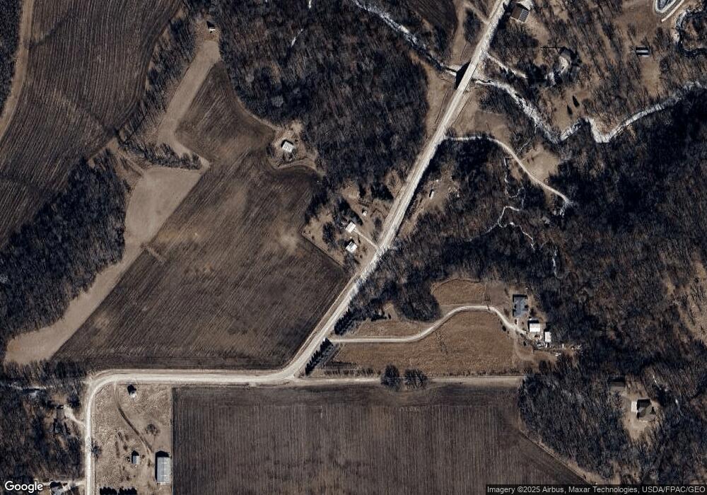
Map
Nearby Homes
- 2780 Lone Tree Rd
- 2796 Lone Tree Rd
- 2776 Lone Tree Rd
- 2772 Lone Tree Rd
- 1000 National Ave
- 1005 National Ave
- 1012 National Ave
- 1009 National Ave
- 2766 Lone Tree Rd
- 1015 National Ave
- 2750 Lone Tree Rd
- 2747 Lone Tree Rd
- 1019 National Ave
- 2745 Lone Tree Rd
- 1048 National Ave
- 2740 Lone Tree Rd
- 1051 National Ave
- 2727 Lone Tree Rd
- 2720 Lone Tree Rd
- 2720 Lone Tree Rd