279490 E 1710 Rd Duncan, OK 73533
Estimated Value: $206,969 - $264,000
3
Beds
2
Baths
1,636
Sq Ft
$149/Sq Ft
Est. Value
About This Home
This home is located at 279490 E 1710 Rd, Duncan, OK 73533 and is currently estimated at $243,742, approximately $148 per square foot. 279490 E 1710 Rd is a home located in Stephens County with nearby schools including Empire High School.
Ownership History
Date
Name
Owned For
Owner Type
Purchase Details
Closed on
Jul 11, 2008
Sold by
Duhon James A
Bought by
Blevins Buck C and Blevins Dana J
Current Estimated Value
Home Financials for this Owner
Home Financials are based on the most recent Mortgage that was taken out on this home.
Original Mortgage
$154,813
Interest Rate
6.11%
Mortgage Type
Unknown
Purchase Details
Closed on
Apr 10, 2001
Sold by
Cash Jerrold Gene
Purchase Details
Closed on
Apr 28, 2000
Sold by
Cash John Preston and Cash Eona
Purchase Details
Closed on
Sep 1, 1994
Sold by
Cash John Preston
Create a Home Valuation Report for This Property
The Home Valuation Report is an in-depth analysis detailing your home's value as well as a comparison with similar homes in the area
Purchase History
| Date | Buyer | Sale Price | Title Company |
|---|---|---|---|
| Blevins Buck C | $155,000 | None Available | |
| -- | $69,500 | -- | |
| -- | -- | -- | |
| -- | -- | -- |
Source: Public Records
Mortgage History
| Date | Status | Borrower | Loan Amount |
|---|---|---|---|
| Closed | Blevins Buck C | $154,813 |
Source: Public Records
Tax History
| Year | Tax Paid | Tax Assessment Tax Assessment Total Assessment is a certain percentage of the fair market value that is determined by local assessors to be the total taxable value of land and additions on the property. | Land | Improvement |
|---|---|---|---|---|
| 2025 | $958 | $11,499 | $350 | $11,149 |
| 2024 | $936 | $10,839 | $330 | $10,509 |
| 2023 | $936 | $10,839 | $280 | $10,559 |
| 2022 | $876 | $10,523 | $280 | $10,243 |
| 2021 | $858 | $9,995 | $280 | $9,715 |
| 2020 | $827 | $9,630 | $280 | $9,350 |
| 2019 | $825 | $9,364 | $280 | $9,084 |
| 2018 | $1,092 | $12,079 | $280 | $11,799 |
| 2017 | $1,119 | $12,079 | $280 | $11,799 |
| 2016 | $1,115 | $12,188 | $280 | $11,908 |
| 2015 | $1,088 | $12,188 | $280 | $11,908 |
| 2014 | $1,088 | $12,188 | $280 | $11,908 |
Source: Public Records
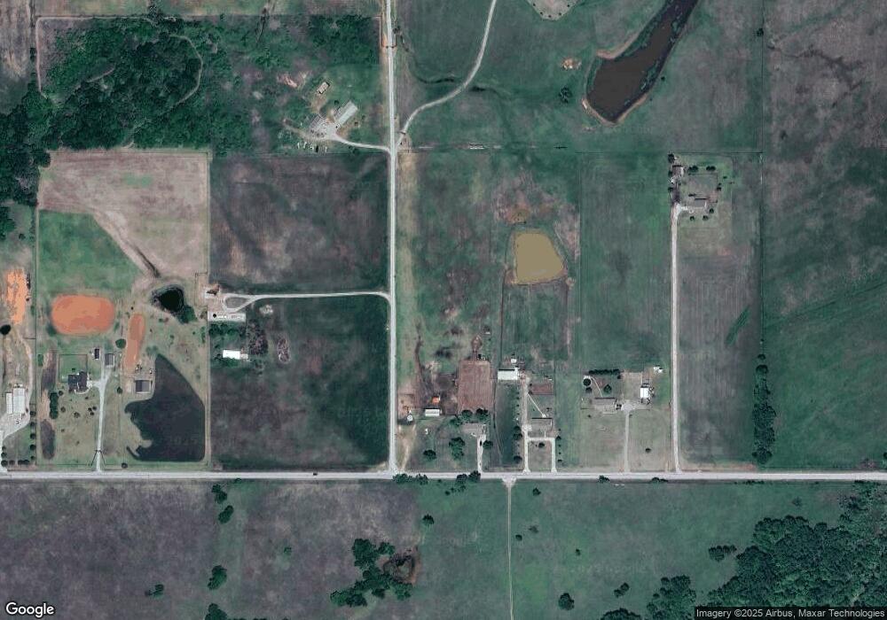
Map
Nearby Homes
- NO ADDRESS S 42nd St
- 5204 Kevin Dr
- 4549 W Seminole Rd
- 4705 W Seminole Rd
- 1715 S 42nd St
- 280775 E 1770 Rd
- 177025 N 2810 Rd
- 277637 E 1770 Rd
- 181307 N 2770 Rd
- 272591 E 1790 Rd
- 280350 E 1780 Rd
- TBD S 27th St
- 3501 S 13th St
- 0 W Cherokee Rd
- 602 Fieldcrest Dr
- 1405 Lizabeth Dr
- 1510 Lizabeth Dr
- 2622 Highcrest Dr
- 177914 N 2770 Rd
- 2086 N 44th St
- 279520 E 1710 Rd
- 279580 E 1710 Rd
- 279204 E 1710 Rd
- 279256 E 1710 Rd
- 7240 W Bois d Arc Ave
- 7252 W Bois d Arc Ave
- 4810 W Cherokee Rd
- 4640 W Cherokee Rd
- 662 Rr 5
- 662 Rr 5
- 3397 S 42nd St
- 3397 S 42nd St
- 176657 N 2790 Rd
- 176644 N 2790 Rd
- 177411 N 2790 Rd
- 4710 Billy Ln
- 715 Rr 5
- 716 Rr 5
- 3850 S 42nd St
- 3850 S 42nd St
Your Personal Tour Guide
Ask me questions while you tour the home.