2796 Hudson Poultry Rd Iron Station, NC 28080
Estimated Value: $490,000 - $692,373
4
Beds
3
Baths
2,633
Sq Ft
$218/Sq Ft
Est. Value
About This Home
This home is located at 2796 Hudson Poultry Rd, Iron Station, NC 28080 and is currently estimated at $574,458, approximately $218 per square foot. 2796 Hudson Poultry Rd is a home located in Lincoln County with nearby schools including Iron Station Elementary School, East Lincoln Middle School, and East Lincoln High School.
Ownership History
Date
Name
Owned For
Owner Type
Purchase Details
Closed on
Aug 7, 2006
Sold by
Rodgers Exodus
Bought by
Rodgers Exodus and Rodgers Carolyn H
Current Estimated Value
Purchase Details
Closed on
May 5, 1992
Bought by
Rogers Exodus
Purchase Details
Closed on
Apr 24, 1992
Bought by
Brookwood Southern Corporation
Create a Home Valuation Report for This Property
The Home Valuation Report is an in-depth analysis detailing your home's value as well as a comparison with similar homes in the area
Home Values in the Area
Average Home Value in this Area
Purchase History
| Date | Buyer | Sale Price | Title Company |
|---|---|---|---|
| Rodgers Exodus | -- | None Available | |
| Rogers Exodus | $39,500 | -- | |
| Brookwood Southern Corporation | $15,500 | -- |
Source: Public Records
Tax History Compared to Growth
Tax History
| Year | Tax Paid | Tax Assessment Tax Assessment Total Assessment is a certain percentage of the fair market value that is determined by local assessors to be the total taxable value of land and additions on the property. | Land | Improvement |
|---|---|---|---|---|
| 2025 | $2,129 | $540,855 | $157,246 | $383,609 |
| 2024 | $2,119 | $540,855 | $157,246 | $383,609 |
| 2023 | $3,390 | $540,855 | $157,246 | $383,609 |
| 2022 | $2,288 | $295,495 | $110,397 | $185,098 |
| 2021 | $2,288 | $295,495 | $110,397 | $185,098 |
| 2020 | $1,559 | $295,501 | $110,403 | $185,098 |
| 2019 | $1,559 | $295,501 | $110,403 | $185,098 |
| 2018 | $1,497 | $267,218 | $106,170 | $161,048 |
| 2017 | $1,394 | $267,218 | $106,170 | $161,048 |
| 2016 | $1,394 | $267,218 | $106,170 | $161,048 |
| 2015 | $1,455 | $267,218 | $106,170 | $161,048 |
| 2014 | $1,441 | $269,908 | $108,903 | $161,005 |
Source: Public Records
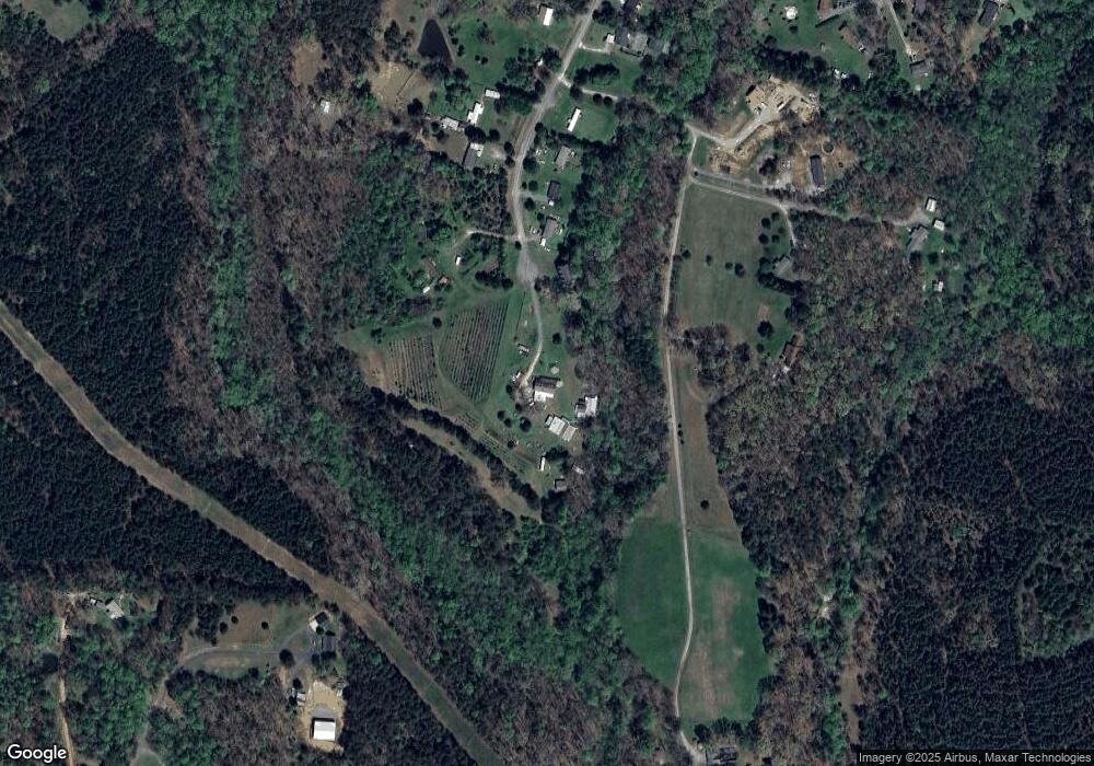
Map
Nearby Homes
- 2345 Rhyne Rd
- 5486 E Highway 27
- 1371 Alexis High Shoals Rd
- 1987 & 1981 Magnolia Grove Rd
- 3388 Rhyne Forest Rd
- 222 Oakhill St
- 1351 Hardin Rd
- 3960 Orchard Rd
- 1554 Forum Ln
- 1481 Depot St
- 2651 Keever Dairy Farm Rd
- 1259 Hardin Rd
- 4394 Mountain Creek Rd
- 6 Hager Mountain Ln
- 124 Dayton Rd
- 324 Old Hardin Rd
- 1279 Craig Dr
- 121 Alexis Forest Dr
- 138 Dayton Rd
- 325 Holly Ridge Rd
- 2794 Hudson Poultry Rd
- 2791 Hudson Poultry Rd
- 3003 Amethyst Ln
- 2783 Hudson Poultry Rd
- 2774 Hudson Poultry Rd
- 2773 Hudson Poultry Rd
- 2763 Hudson Poultry Rd
- 2770 Hudson Poultry Rd
- 2957 Amethyst Ln
- 2951 Amethyst Ln
- 2755 Hudson Poultry Rd
- 2768 Hudson Poultry Rd
- 2909 Amethyst Ln
- 2717 Hudson Poultry Rd
- 2722 Hudson Poultry Rd
- 2709 Hudson Poultry Rd
- 2945 Amethyst Ln
- 2697 Hudson Poultry Rd
- 2767 Wingtip Ct
- 2771 Wingtip Ct