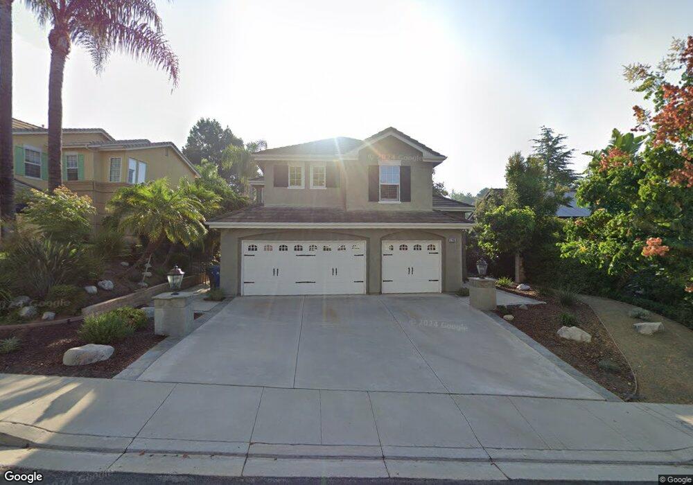
2796 Westham Cir Thousand Oaks, CA 91362
Estimated Value: $1,230,565 - $1,382,000
4
Beds
3
Baths
2,568
Sq Ft
$514/Sq Ft
Est. Value
About This Home
This home is located at 2796 Westham Cir, Thousand Oaks, CA 91362 and is currently estimated at $1,320,141, approximately $514 per square foot. 2796 Westham Cir is a home located in Ventura County with nearby schools including Lang Ranch, Los Cerritos Middle School, and Westlake High School.
Ownership History
Date
Name
Owned For
Owner Type
Purchase Details
Closed on
Feb 13, 2016
Sold by
Sidansky Robert Israel and Sidansky Denise Michelle
Bought by
The Sidaneky Family Trust and Sidansky Denise Michelle
Current Estimated Value
Purchase Details
Closed on
May 24, 1994
Sold by
Standard Pacific Corp
Bought by
Sidansky Robert and Sidansky Denise
Home Financials for this Owner
Home Financials are based on the most recent Mortgage that was taken out on this home.
Original Mortgage
$80,000
Interest Rate
8.04%
Create a Home Valuation Report for This Property
The Home Valuation Report is an in-depth analysis detailing your home's value as well as a comparison with similar homes in the area
Purchase History
| Date | Buyer | Sale Price | Title Company |
|---|---|---|---|
| The Sidaneky Family Trust | -- | None Available | |
| Sidansky Robert | $300,000 | Chicago Title |
Source: Public Records
Mortgage History
| Date | Status | Borrower | Loan Amount |
|---|---|---|---|
| Closed | Sidansky Robert | $80,000 |
Source: Public Records
Tax History
| Year | Tax Paid | Tax Assessment Tax Assessment Total Assessment is a certain percentage of the fair market value that is determined by local assessors to be the total taxable value of land and additions on the property. | Land | Improvement |
|---|---|---|---|---|
| 2025 | $6,579 | $555,016 | $206,325 | $348,691 |
| 2024 | $6,579 | $544,134 | $202,280 | $341,854 |
| 2023 | $6,380 | $533,465 | $198,314 | $335,151 |
| 2022 | $6,251 | $523,005 | $194,425 | $328,580 |
| 2021 | $6,123 | $512,750 | $190,612 | $322,138 |
| 2020 | $5,683 | $507,494 | $188,658 | $318,836 |
| 2019 | $5,531 | $497,544 | $184,959 | $312,585 |
| 2018 | $5,415 | $487,789 | $181,333 | $306,456 |
| 2017 | $5,304 | $478,226 | $177,778 | $300,448 |
| 2016 | $5,248 | $468,850 | $174,293 | $294,557 |
| 2015 | $5,153 | $461,810 | $171,676 | $290,134 |
| 2014 | $5,075 | $452,765 | $168,314 | $284,451 |
Source: Public Records
Map
Nearby Homes
- 2845 Queens Way
- 2181 Brookfield Dr
- 2280 Meadowside Dr
- 2654 Whitechapel Place
- 2457 Rutland Place
- 2596 Rikkard Dr
- 2283 Northpark St
- 2397 Laurelpark Ct
- 2649 Rikkard Dr
- 2202 Aspenpark Ct
- 1915 Woodside Dr
- 3225 Futura Point
- 2225 Calle Riscoso
- 3182 Toulouse Cir
- 2161 Scenicpark St
- 2924 Blazing Star Dr Unit 52
- 2888 Rainfield Ave
- 2980 Blazing Star Dr
- 2882 Rainfield Ave
- 3542 N Avenida Montuoso
- 2802 Westham Cir
- 2784 Westham Cir
- 2814 Westham Cir
- 2772 Westham Cir
- 2415 Haymarket St
- 2826 Westham Cir
- 2785 Westham Cir
- 2797 Westham Cir
- 2754 Westham Cir
- 2805 Westham Cir
- 2773 Westham Cir
- 2815 Westham Cir
- 2761 Westham Cir
- 2838 Westham Cir
- 2437 Haymarket St
- 2412 Haymarket St
- 2742 Westham Cir
- 2827 Westham Cir
- 2749 Westham Cir
- 2850 Westham Cir
Your Personal Tour Guide
Ask me questions while you tour the home.