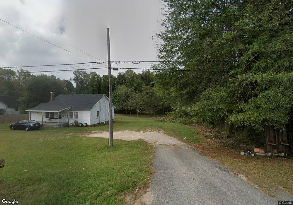
2796 Whitesville Rd Lagrange, GA 30240
Estimated Value: $137,000 - $245,000
3
Beds
2
Baths
1,320
Sq Ft
$138/Sq Ft
Est. Value
About This Home
This home is located at 2796 Whitesville Rd, Lagrange, GA 30240 and is currently estimated at $181,636, approximately $137 per square foot. 2796 Whitesville Rd is a home located in Troup County with nearby schools including Whitesville Road Elementary School, Berta Weathersbee Elementary School, and Rosemont Elementary School.
Ownership History
Date
Name
Owned For
Owner Type
Purchase Details
Closed on
Jun 27, 2003
Sold by
Susan Mike and Susan Hawkins
Bought by
Dukes Charles D
Current Estimated Value
Purchase Details
Closed on
Aug 22, 1994
Bought by
Susan Mike and Susan Hawkins
Purchase Details
Closed on
Aug 31, 1990
Sold by
Luckie W F
Purchase Details
Closed on
Jan 1, 1949
Sold by
Pearl S Bryant
Bought by
Luckie W F
Create a Home Valuation Report for This Property
The Home Valuation Report is an in-depth analysis detailing your home's value as well as a comparison with similar homes in the area
Home Values in the Area
Average Home Value in this Area
Purchase History
| Date | Buyer | Sale Price | Title Company |
|---|---|---|---|
| Dukes Charles D | $140,000 | -- | |
| Susan Mike | -- | -- | |
| -- | -- | -- | |
| Luckie W F | -- | -- |
Source: Public Records
Tax History Compared to Growth
Tax History
| Year | Tax Paid | Tax Assessment Tax Assessment Total Assessment is a certain percentage of the fair market value that is determined by local assessors to be the total taxable value of land and additions on the property. | Land | Improvement |
|---|---|---|---|---|
| 2024 | $1,029 | $37,720 | $5,000 | $32,720 |
| 2023 | $893 | $32,760 | $5,000 | $27,760 |
| 2022 | $852 | $30,520 | $5,000 | $25,520 |
| 2021 | $590 | $19,560 | $3,600 | $15,960 |
| 2020 | $590 | $19,560 | $3,600 | $15,960 |
| 2019 | $602 | $19,960 | $3,600 | $16,360 |
| 2018 | $557 | $18,480 | $3,600 | $14,880 |
| 2017 | $557 | $18,480 | $3,600 | $14,880 |
| 2016 | $551 | $18,257 | $3,600 | $14,657 |
| 2015 | $552 | $18,257 | $3,600 | $14,657 |
| 2014 | $529 | $17,485 | $3,600 | $13,885 |
| 2013 | -- | $18,153 | $3,600 | $14,553 |
Source: Public Records
Map
Nearby Homes
- 0 Whitesville Rd Unit 10496838
- 0 Whitesville Rd Unit 10578327
- 620 Old Hutchinson Mill Rd
- 2222 Whitesville Rd
- 660 Bartley Rd
- 2851 & 2891 Hamilton Rd
- 1605 Bartley Rd
- 250 Wilcox Rd
- 557 Lago Ct
- 553 Lago Ct
- 3913 Whitesville Rd
- 11.59+/- AC Hunt Rd
- Cannaberra Plan at Bryant Lake
- Aspen Plan at Bryant Lake
- Oakwood Plan at Bryant Lake
- Hawthorne Plan at Bryant Lake
- Maple Plan at Bryant Lake
- Camden Plan at Bryant Lake
- Dogwood Plan at Bryant Lake
- Ashley Plan at Bryant Lake
- 2804 Whitesville Rd
- 2784 Whitesville Rd
- 16 Bryant Rd
- 2772 Whitesville Rd
- 0 Whitesville Rd Unit 8455922
- 0 Whitesville Rd Unit 8454608
- 0 Whitesville Rd Unit 3065177
- 0 Whitesville Rd Unit 8044041
- 0 Whitesville Rd Unit 3277007
- 0 Whitesville Rd Unit 7282890
- 0 Whitesville Rd Unit LOT 4 8916500
- 0 Whitesville Rd Unit 20176656
- 0 Whitesville Rd Unit 20161185
- 0 Whitesville Rd Unit 20097501
- 0 Whitesville Rd Unit 20079590
- 0 Whitesville Rd Unit 20019453
- 0 Whitesville Rd Unit SR219 23.06 7618585
- 0 Whitesville Rd Unit 23.14+/- Acres
- 0 Whitesville Rd Unit Lot 5 8916502
- 0 Whitesville Rd Unit 8829331