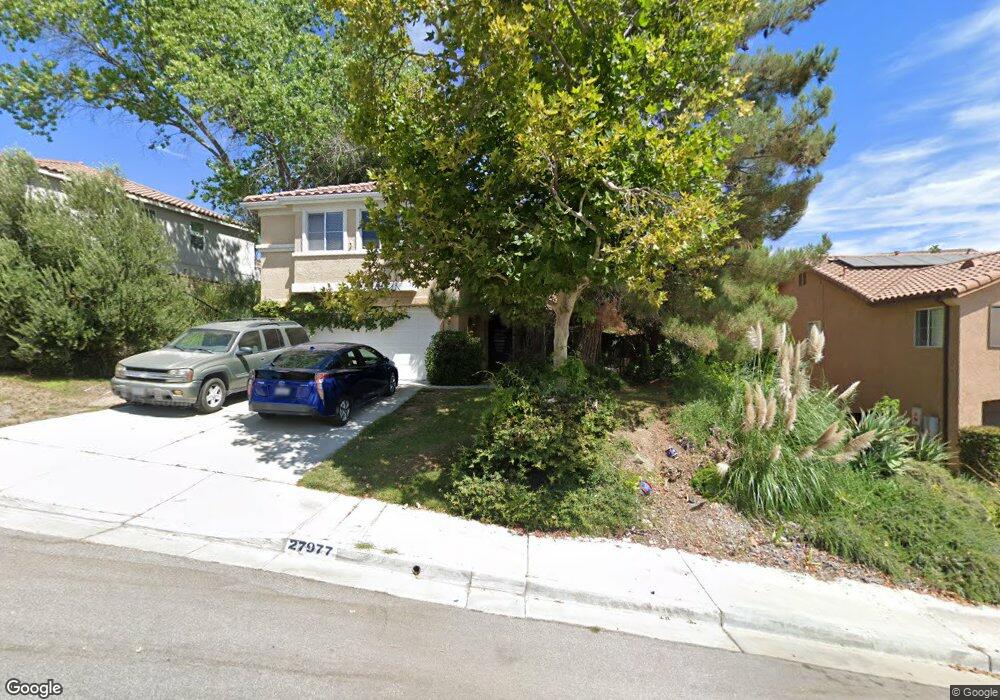
27977 Firebrand Dr Castaic, CA 91384
Castaic AreaEstimated Value: $901,000 - $950,436
About This Home
This home is located at 27977 Firebrand Dr, Castaic, CA 91384 and is currently estimated at $926,609, approximately $334 per square foot. 27977 Firebrand Dr is a home located in Los Angeles County with nearby schools including Holloway Elementary School, Live Oak Elementary School, and Castaic Middle School.
Ownership History
We collect this data history from publicly available records. To have your information removed, we recommend requesting removal directly through your county’s website.
Purchase Details
Home Financials for this Owner
Home Financials are based on the most recent Mortgage that was taken out on this home.Purchase Details
Home Financials for this Owner
Home Financials are based on the most recent Mortgage that was taken out on this home.Home Values in the Area
Average Home Value in this Area
Purchase History
We collect this data history from publicly available records. To have your information removed, we recommend requesting removal directly through your county’s website.
| Date | Buyer | Sale Price | Title Company |
|---|---|---|---|
| -- | Ticor Title | ||
| $341,000 | First American Title Co |
Mortgage History
We collect this data history from publicly available records. To have your information removed, we recommend requesting removal directly through your county’s website.
| Date | Status | Borrower | Loan Amount |
|---|---|---|---|
| Open | $45,000 | ||
| Open | $580,000 | ||
| Closed | $549,450 | ||
| Closed | $105,000 | ||
| Closed | $100,000 | ||
| Closed | $470,000 | ||
| Closed | $410,000 | ||
| Closed | $38,507 | ||
| Closed | $42,000 | ||
| Closed | $300,000 | ||
| Closed | $272,000 |
Tax History
We collect this data history from publicly available records. To have your information removed, we recommend requesting removal directly through your county’s website.
| Year | Tax Paid | Tax Assessment Tax Assessment Total Assessment is a certain percentage of the fair market value that is determined by local assessors to be the total taxable value of land and additions on the property. | Land | Improvement |
|---|---|---|---|---|
| 2025 | $7,542 | $545,527 | $206,813 | $338,714 |
| 2024 | $7,173 | $534,831 | $202,758 | $332,073 |
| 2023 | $6,922 | $524,345 | $198,783 | $325,562 |
| 2022 | $6,798 | $514,065 | $194,886 | $319,179 |
| 2021 | $6,682 | $503,986 | $191,065 | $312,921 |
| 2019 | $6,428 | $489,040 | $185,399 | $303,641 |
| 2018 | $6,790 | $479,452 | $181,764 | $297,688 |
| 2016 | $6,216 | $460,835 | $174,706 | $286,129 |
| 2015 | $6,161 | $453,914 | $172,082 | $281,832 |
| 2014 | $6,071 | $445,024 | $168,712 | $276,312 |
Map
- 30024 Medford Place
- 28076 Bridlewood Dr
- 29908 Shadow Place
- 30030 Penrose Ln
- 28346 Old Springs Rd
- 29890 Berkshire Place
- 30012 Chestnut Ln
- 28710 Orange Park Dr
- 28512 Wildflower Terrace
- 28418 Old Springs Rd
- 28422 Old Springs Rd
- 28921 Saddle Cir
- 28426 Old Springs Rd
- 28716 Orange Park Dr
- 28516 Wildflower Terrace
- 28847 Appaloosa Place
- 29907 Vintage Ct
- 29903 Vintage Ct
- 28222 Cascade Rd
- 27635 Elkwood Ln Unit 31
- 27966 Bridlewood Dr
- 27958 Bridlewood Dr
- 27972 Bridlewood Dr
- 27954 Bridlewood Dr
- 29972 Cambridge Ave
- 27980 Bridlewood Dr
- 27948 Bridlewood Dr
- 29968 Cambridge Ave
- 27959 Bridlewood Dr
- 27965 Bridlewood Dr
- 27971 Bridlewood Dr
- 27955 Bridlewood Dr
- 27942 Bridlewood Dr
- 29964 Cambridge Ave
- 27977 Bridlewood Dr
- 27949 Bridlewood Dr
- 27981 Bridlewood Dr
- 27991 Firebrand Dr
- 27983 Firebrand Dr
- 27938 Bridlewood Dr
Ask me questions while you tour the home.