Estimated Value: $252,000 - $353,216
3
Beds
3
Baths
1,836
Sq Ft
$165/Sq Ft
Est. Value
About This Home
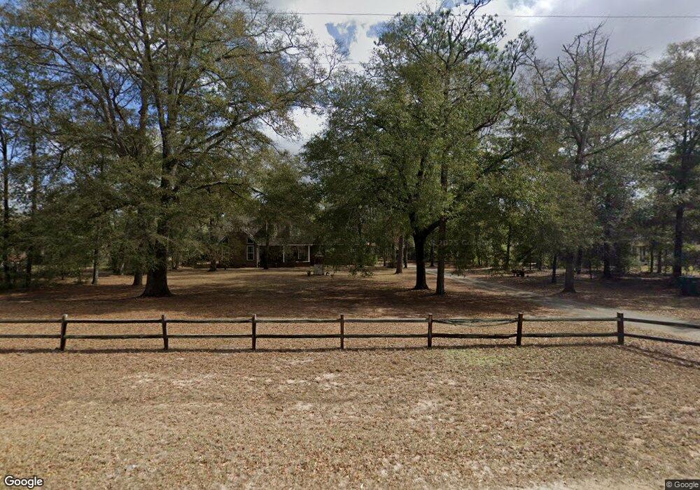
This home is located at 279A Todd Rd, Perry, GA 31069 and is currently estimated at $302,554, approximately $164 per square foot. 279A Todd Rd is a home located in Houston County with nearby schools including Langston Road Elementary School, Mossy Creek Middle School, and Perry High School.
Ownership History
Date
Name
Owned For
Owner Type
Purchase Details
Closed on
Oct 28, 2005
Sold by
Woodard Linda K
Bought by
Woodard David M
Current Estimated Value
Purchase Details
Closed on
Jan 20, 1999
Sold by
Jones Dorothy May
Bought by
Woodard David M and Woodard Linda K
Purchase Details
Closed on
Jul 29, 1991
Sold by
Woodard David
Bought by
Jones Dorothy May
Purchase Details
Closed on
Jul 3, 1991
Sold by
Scruggs Bryant
Bought by
The Bank Of Perry
Purchase Details
Closed on
Jul 31, 1986
Sold by
Coffee Edwin T and Coffee Martha A
Bought by
Scruggs Bryant
Purchase Details
Closed on
Apr 22, 1982
Sold by
Coffee Tracy L
Bought by
Coffee Edwin T and Coffee Martha A
Purchase Details
Closed on
Mar 10, 1978
Sold by
Mcdonald Lehmanl
Bought by
Coffee Tracy L
Purchase Details
Closed on
Dec 2, 1976
Bought by
Mcdonald Lehmanl
Create a Home Valuation Report for This Property
The Home Valuation Report is an in-depth analysis detailing your home's value as well as a comparison with similar homes in the area
Home Values in the Area
Average Home Value in this Area
Purchase History
| Date | Buyer | Sale Price | Title Company |
|---|---|---|---|
| Woodard David M | -- | -- | |
| Woodard David M | -- | -- | |
| Jones Dorothy May | -- | -- | |
| Woodard David | -- | -- | |
| The Bank Of Perry | -- | -- | |
| Scruggs Bryant | -- | -- | |
| Coffee Edwin T | -- | -- | |
| Coffee Tracy L | -- | -- | |
| Mcdonald Lehmanl | -- | -- |
Source: Public Records
Tax History Compared to Growth
Tax History
| Year | Tax Paid | Tax Assessment Tax Assessment Total Assessment is a certain percentage of the fair market value that is determined by local assessors to be the total taxable value of land and additions on the property. | Land | Improvement |
|---|---|---|---|---|
| 2024 | $1,973 | $84,480 | $17,720 | $66,760 |
| 2023 | $1,594 | $67,960 | $11,640 | $56,320 |
| 2022 | $1,552 | $66,200 | $11,640 | $54,560 |
| 2021 | $1,418 | $60,360 | $9,240 | $51,120 |
| 2020 | $1,376 | $58,360 | $8,240 | $50,120 |
| 2019 | $1,376 | $58,360 | $8,240 | $50,120 |
| 2018 | $1,376 | $58,360 | $8,240 | $50,120 |
| 2017 | $1,377 | $58,360 | $8,240 | $50,120 |
| 2016 | $1,379 | $58,360 | $8,240 | $50,120 |
| 2015 | $1,382 | $58,360 | $8,240 | $50,120 |
| 2014 | -- | $58,360 | $8,240 | $50,120 |
| 2013 | -- | $58,360 | $8,240 | $50,120 |
Source: Public Records
Map
Nearby Homes
- 309 Bermuda Ridge
- 0 Todd Rd Unit 253674
- 207 Greylock Dr
- 2360 U S 41
- 124 Lake Lillian Dr
- 2327 Us Hwy 41
- 2327 U S 41
- 502 Arons Ct
- 103 Waldorf Dr
- 150 MacK Thompson Rd
- 0 MacK Thompson Rd Unit 253661
- 149 MacK Thompson Road Common
- 218 Walton Chase
- 0 Hwy 41 & Langston Rd Unit M170042
- 206 Overton Dr
- 161 Overton Dr
- 214 Overton Dr
- 0 Langston Rd Unit 16828609
- 218 Overton Dr
- 219 Overton Dr
- 279 Todd Rd
- 281 Todd Rd
- 277 Todd Rd
- 287 Todd Rd
- 249 Todd Rd
- 7400 Buckeye Rd
- 604 Beaver Ct
- 245 Todd Rd
- 0 Buckeye Rd Unit PAR C 3185634
- 0 Buckeye Rd Unit L2A,AC9000 7439580
- 0 Buckeye Rd Unit L2b 8048500
- 0 Buckeye Rd Unit 8065245
- 0 Buckeye Rd Unit 214166
- 0 Buckeye Rd Unit Tract A 8079804
- 0 Buckeye Rd Unit 8743521
- 0 Buckeye Rd Unit M136761
- 0 Buckeye Rd Unit M137165
- 0 Buckeye Rd Unit 8743545
- 0 Buckeye Rd Unit 201195
- 0 Buckeye Rd Unit 7154042