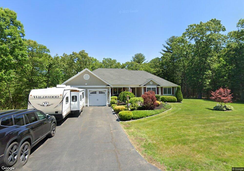
28 Albert Dr Millville, MA 01529
Estimated Value: $643,573 - $751,000
3
Beds
3
Baths
2,825
Sq Ft
$249/Sq Ft
Est. Value
About This Home
This home is located at 28 Albert Dr, Millville, MA 01529 and is currently estimated at $702,143, approximately $248 per square foot. 28 Albert Dr is a home with nearby schools including Blackstone-Millville Regional High School.
Ownership History
Date
Name
Owned For
Owner Type
Purchase Details
Closed on
May 15, 2012
Sold by
Paul A Benoit Nt and Benoit
Bought by
Paige Robert
Current Estimated Value
Home Financials for this Owner
Home Financials are based on the most recent Mortgage that was taken out on this home.
Original Mortgage
$260,000
Outstanding Balance
$169,687
Interest Rate
3%
Mortgage Type
New Conventional
Estimated Equity
$532,456
Create a Home Valuation Report for This Property
The Home Valuation Report is an in-depth analysis detailing your home's value as well as a comparison with similar homes in the area
Home Values in the Area
Average Home Value in this Area
Purchase History
| Date | Buyer | Sale Price | Title Company |
|---|---|---|---|
| Paige Robert | -- | -- | |
| Paige Russell W | $115,000 | -- |
Source: Public Records
Mortgage History
| Date | Status | Borrower | Loan Amount |
|---|---|---|---|
| Open | Paige Russell W | $260,000 |
Source: Public Records
Tax History
| Year | Tax Paid | Tax Assessment Tax Assessment Total Assessment is a certain percentage of the fair market value that is determined by local assessors to be the total taxable value of land and additions on the property. | Land | Improvement |
|---|---|---|---|---|
| 2025 | $6,384 | $484,000 | $111,100 | $372,900 |
| 2024 | $9,566 | $723,600 | $87,100 | $636,500 |
| 2023 | $8,541 | $614,900 | $87,100 | $527,800 |
| 2022 | $7,313 | $484,000 | $111,100 | $372,900 |
| 2021 | $7,425 | $466,100 | $111,100 | $355,000 |
| 2020 | $7,546 | $469,600 | $120,100 | $349,500 |
| 2019 | $7,437 | $460,200 | $128,500 | $331,700 |
| 2018 | $8,447 | $510,100 | $128,500 | $381,600 |
| 2017 | $6,879 | $427,000 | $128,500 | $298,500 |
| 2016 | $7,014 | $414,800 | $128,500 | $286,300 |
| 2015 | $6,222 | $360,900 | $124,900 | $236,000 |
| 2014 | $6,408 | $373,000 | $120,100 | $252,900 |
Source: Public Records
Map
Nearby Homes
- 29 Cork Cir Unit F
- 90 Chestnut Hill Rd
- 111 Cider Mill Rd
- 50 Main St
- 0 Buxton St Unit 1386233
- 81 Thayer St
- 179 Thayer St
- 1003 Victory Hwy
- 342 Chestnut St
- 0 Main St
- 12 Silver Pines Blvd Unit 12
- 284 Lincoln St
- 127 Old Millville Rd
- 66 Old Chestnut Hill Rd
- 1 Tupperware Dr Unit 221
- 1 Tupperware Dr Unit 138
- 1 Tupperware Dr Unit 326
- 1 Tupperware Dr Unit 241
- 40 Emilia Dr
- 13 Dawes St
Your Personal Tour Guide
Ask me questions while you tour the home.