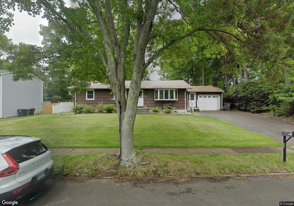
28 Ardmore Rd Milford, CT 06461
Post Road North NeighborhoodEstimated Value: $470,000 - $537,000
3
Beds
2
Baths
1,288
Sq Ft
$385/Sq Ft
Est. Value
About This Home
This home is located at 28 Ardmore Rd, Milford, CT 06461 and is currently estimated at $495,736, approximately $384 per square foot. 28 Ardmore Rd is a home located in New Haven County with nearby schools including Orange Avenue School, Harborside Middle School, and Joseph A. Foran High School.
Ownership History
Date
Name
Owned For
Owner Type
Purchase Details
Closed on
Jan 12, 2023
Sold by
Allen Renee M
Bought by
Reed Kendal and Reed Rebecca
Current Estimated Value
Home Financials for this Owner
Home Financials are based on the most recent Mortgage that was taken out on this home.
Original Mortgage
$83,484
Outstanding Balance
$80,396
Interest Rate
6.49%
Mortgage Type
Purchase Money Mortgage
Estimated Equity
$415,340
Purchase Details
Closed on
Apr 8, 2013
Sold by
Mercaldo Karen R and Mercaldo Michael V
Bought by
Reed Sally and Allen Renee M
Purchase Details
Closed on
Dec 10, 1976
Bought by
Mercaldo Michael and Mercaldo Karen R
Create a Home Valuation Report for This Property
The Home Valuation Report is an in-depth analysis detailing your home's value as well as a comparison with similar homes in the area
Home Values in the Area
Average Home Value in this Area
Purchase History
| Date | Buyer | Sale Price | Title Company |
|---|---|---|---|
| Reed Kendal | $105,000 | None Available | |
| Reed Kendal | $105,000 | None Available | |
| Reed Sally | -- | -- | |
| Reed Sally | -- | -- | |
| Reed Sally | -- | -- | |
| Mercaldo Michael | -- | -- |
Source: Public Records
Mortgage History
| Date | Status | Borrower | Loan Amount |
|---|---|---|---|
| Open | Reed Kendal | $83,484 | |
| Closed | Reed Kendal | $83,484 |
Source: Public Records
Tax History
| Year | Tax Paid | Tax Assessment Tax Assessment Total Assessment is a certain percentage of the fair market value that is determined by local assessors to be the total taxable value of land and additions on the property. | Land | Improvement |
|---|---|---|---|---|
| 2025 | $7,053 | $238,670 | $122,660 | $116,010 |
| 2024 | $6,955 | $238,670 | $122,660 | $116,010 |
| 2023 | $6,485 | $238,670 | $122,660 | $116,010 |
| 2022 | $6,361 | $238,670 | $122,660 | $116,010 |
| 2021 | $5,272 | $190,680 | $81,930 | $108,750 |
| 2020 | $5,278 | $190,680 | $81,930 | $108,750 |
| 2019 | $5,284 | $190,680 | $81,930 | $108,750 |
| 2018 | $5,289 | $190,680 | $81,930 | $108,750 |
| 2017 | $5,299 | $190,680 | $81,930 | $108,750 |
| 2016 | $5,383 | $193,360 | $81,930 | $111,430 |
| 2015 | $5,391 | $193,360 | $81,930 | $111,430 |
| 2014 | $5,263 | $193,360 | $81,930 | $111,430 |
Source: Public Records
Map
Nearby Homes
- 420 Narrow Ln
- 89 Green Meadow Rd
- 109 Green Meadow Rd
- 317 Narrow Ln
- 335 Foxwood Ln Unit 335E
- 334 Foxwood Ln Unit 334
- 32 Cedarhurst Ln
- 134 McQuillan Dr
- 25 McQuillan Dr
- 11 Marble Ln
- 2 Turtle Ln
- 364 Orange Ave
- 150 Forest Rd Unit 6
- 91 Forest Rd Unit B
- 492 North St
- 6 Vernon Ct
- 489 Derby Milford Rd
- 102 Corona Dr
- 139 Wepawaug Dr
- 36 Kenwood Rd
Your Personal Tour Guide
Ask me questions while you tour the home.