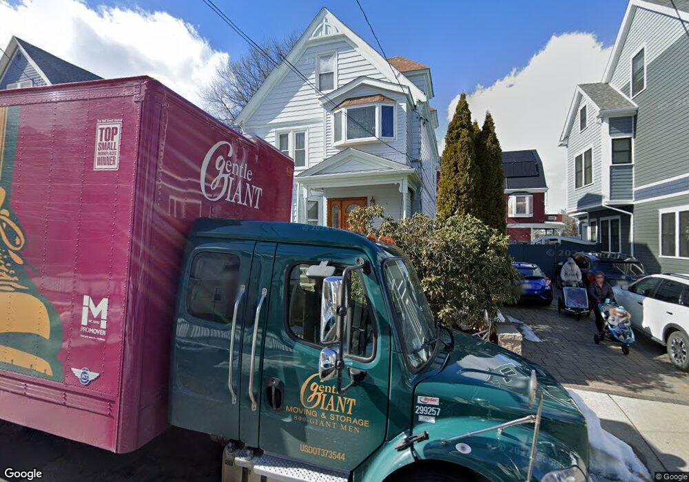
28 Billingham St Somerville, MA 02144
Davis Square NeighborhoodEstimated Value: $2,266,822 - $2,880,000
7
Beds
3
Baths
3,238
Sq Ft
$751/Sq Ft
Est. Value
About This Home
This home is located at 28 Billingham St, Somerville, MA 02144 and is currently estimated at $2,432,956, approximately $751 per square foot. 28 Billingham St is a home located in Middlesex County with nearby schools including Somerville High School, St. Clement Elementary School, and Wild Rose Montessori School.
Ownership History
Date
Name
Owned For
Owner Type
Purchase Details
Closed on
Oct 3, 2012
Sold by
Stacke Denis D and Stacke Denise G
Bought by
Bethel Dorothy D and Stacke Denis D
Current Estimated Value
Purchase Details
Closed on
Aug 17, 1998
Sold by
Taranto Thomas
Bought by
Stacke Denis D and Bethel Dorothy D
Purchase Details
Closed on
Nov 28, 1990
Sold by
Desmond Phyllis A
Bought by
Taranto Thomas
Create a Home Valuation Report for This Property
The Home Valuation Report is an in-depth analysis detailing your home's value as well as a comparison with similar homes in the area
Home Values in the Area
Average Home Value in this Area
Purchase History
| Date | Buyer | Sale Price | Title Company |
|---|---|---|---|
| Bethel Dorothy D | -- | -- | |
| Stacke Denis D | $430,000 | -- | |
| Taranto Thomas | $200,000 | -- |
Source: Public Records
Mortgage History
| Date | Status | Borrower | Loan Amount |
|---|---|---|---|
| Previous Owner | Taranto Thomas | $375,000 | |
| Previous Owner | Taranto Thomas | $143,500 | |
| Previous Owner | Taranto Thomas | $80,000 |
Source: Public Records
Tax History Compared to Growth
Tax History
| Year | Tax Paid | Tax Assessment Tax Assessment Total Assessment is a certain percentage of the fair market value that is determined by local assessors to be the total taxable value of land and additions on the property. | Land | Improvement |
|---|---|---|---|---|
| 2025 | $22,004 | $2,016,900 | $902,600 | $1,114,300 |
| 2024 | $20,559 | $1,954,300 | $902,600 | $1,051,700 |
| 2023 | $19,065 | $1,843,800 | $902,600 | $941,200 |
| 2022 | $17,679 | $1,736,600 | $859,600 | $877,000 |
| 2021 | $16,945 | $1,662,900 | $853,300 | $809,600 |
| 2020 | $15,660 | $1,552,000 | $797,000 | $755,000 |
| 2019 | $16,349 | $1,519,400 | $777,300 | $742,100 |
| 2018 | $15,442 | $1,365,300 | $706,700 | $658,600 |
| 2017 | $14,529 | $1,245,000 | $666,700 | $578,300 |
| 2016 | $13,942 | $1,112,700 | $595,400 | $517,300 |
| 2015 | $13,254 | $1,051,100 | $549,900 | $501,200 |
Source: Public Records
Map
Nearby Homes
- 9 Kidder Ave Unit 2
- 20 Electric Ave Unit 2
- 22 Ossipee Rd Unit 2
- 53 Paulina St
- 26 Warner St
- 25 Warner St
- 1 Packard Ave
- 57 Packard Ave Unit A
- 57 Packard Ave Unit B
- 55 Packard Ave Unit 1
- 51 Foskett St Unit 2
- 111 Pearson Rd
- 122 Holland St Unit 4
- 54 Lowden Ave Unit 2
- 32 Gorham St
- 14 Moore St
- 74 Josephine Ave Unit B
- 371 Highland Ave
- 39 Rogers Ave
- 61 Cameron Ave
- 26 Billingham St
- 34 Billingham St Unit 34
- 916 Broadway
- 916 Broadway Unit 1
- 916 Broadway Unit 2
- 32 Billingham St Unit 32
- 32 Billingham St Unit 34
- 906 Broadway
- 22 Billingham St
- 922 Broadway
- 922 Broadway
- 922 Broadway Unit 2
- 1 Kenwood St
- 87 Chandler St
- 87 Chandler St Unit 87
- 87 Chandler St
- 87 Chandler St Unit 1
- 85 Chandler St
- 23 Billingham St
- 33 Billingham St