Estimated Value: $304,041 - $345,000
2
Beds
2
Baths
2,230
Sq Ft
$148/Sq Ft
Est. Value
About This Home
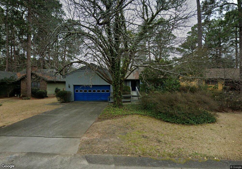
This home is located at 28 Carnoustie Ct, Aiken, SC 29803 and is currently estimated at $329,510, approximately $147 per square foot. 28 Carnoustie Ct is a home located in Aiken County with nearby schools including Aiken Elementary School, Schofield Middle School, and Aiken High School.
Ownership History
Date
Name
Owned For
Owner Type
Purchase Details
Closed on
Oct 22, 2021
Sold by
Holiday Darelyn M
Bought by
Duncan Debra M
Current Estimated Value
Purchase Details
Closed on
Oct 21, 2021
Sold by
Duncan Debra M and Elizabeth Ann Moore Trust
Bought by
Duncan Debra M and Holliday Darelyn M
Purchase Details
Closed on
Sep 26, 2017
Sold by
Duncan Debra Moore and Estate Of Merrill Dare Moore
Bought by
Moore Elizabeth Ann
Purchase Details
Closed on
Jan 31, 2017
Sold by
Cushman Christopher Lee
Bought by
Cushman Donald A
Purchase Details
Closed on
Jan 27, 2017
Sold by
Cushman Joshua Ronnie and Cushman Billy Ray
Bought by
Cushman Christopher Lee
Purchase Details
Closed on
Sep 21, 2016
Sold by
Moore Elizabeth Ann
Bought by
Moore Merrill Dare
Create a Home Valuation Report for This Property
The Home Valuation Report is an in-depth analysis detailing your home's value as well as a comparison with similar homes in the area
Home Values in the Area
Average Home Value in this Area
Purchase History
| Date | Buyer | Sale Price | Title Company |
|---|---|---|---|
| Duncan Debra M | $120,000 | None Available | |
| Duncan Debra M | -- | None Available | |
| Duncan Debra M | -- | None Available | |
| Moore Elizabeth Ann | -- | None Available | |
| Cushman Donald A | -- | -- | |
| Cushman Christopher Lee | -- | -- | |
| Moore Merrill Dare | -- | -- |
Source: Public Records
Tax History
| Year | Tax Paid | Tax Assessment Tax Assessment Total Assessment is a certain percentage of the fair market value that is determined by local assessors to be the total taxable value of land and additions on the property. | Land | Improvement |
|---|---|---|---|---|
| 2025 | $3,253 | $12,790 | -- | -- |
| 2023 | $3,000 | $12,790 | $2,100 | $178,160 |
| 2022 | $2,965 | $12,790 | $0 | $0 |
| 2021 | $2,707 | $12,790 | $0 | $0 |
| 2020 | $629 | $10,150 | $0 | $0 |
| 2019 | $2,400 | $10,150 | $0 | $0 |
| 2018 | $296 | $6,770 | $1,160 | $5,610 |
| 2017 | $2,352 | $0 | $0 | $0 |
| 2016 | -- | $0 | $0 | $0 |
| 2015 | -- | $0 | $0 | $0 |
| 2014 | -- | $0 | $0 | $0 |
| 2013 | -- | $0 | $0 | $0 |
Source: Public Records
Map
Nearby Homes
- 21 Troon Way
- 7 Perth Ct N
- 0 Troon Way Unit 216310
- 44 Troon Way
- 5 Prestwick Ct
- 1 Whitemarsh Dr
- 133 Troon Way
- 123 Troon Way
- 121 Troon Way
- Tract A Varden Dr
- 1606 Alpine Dr
- 2015 Town Creek Rd
- 13 & 15 Brookline Dr
- 1654 Huntsman Dr
- 1517 Pine Log Rd
- 2029 Lundee Dr
- 317 Northwood Dr
- 401 Northwood Dr
- LOT 14 Northwood Dr
- 304 Northwood Dr
- 26 Carnoustie Ct
- 30 Carnoustie Ct
- 24 Carnoustie Ct
- 32 Carnoustie Ct
- 29 Saint Andrews Way
- 29 St Andrews Way
- 34 Carnoustie Ct
- 22 Carnoustie Ct
- 31 Carnoustie Ct
- 22 Saint Andrews Way
- 27 Saint Andrews Way
- 33 Carnoustie Ct
- 20 Carnoustie Ct
- 25 Saint Andrews Way
- 36 Carnoustie Ct
- 35 Carnoustie Ct
- 23 Saint Andrews Way
- 23 St Andrews Way
- 18 Carnoustie Ct
- 38 Carnoustie Ct
Your Personal Tour Guide
Ask me questions while you tour the home.