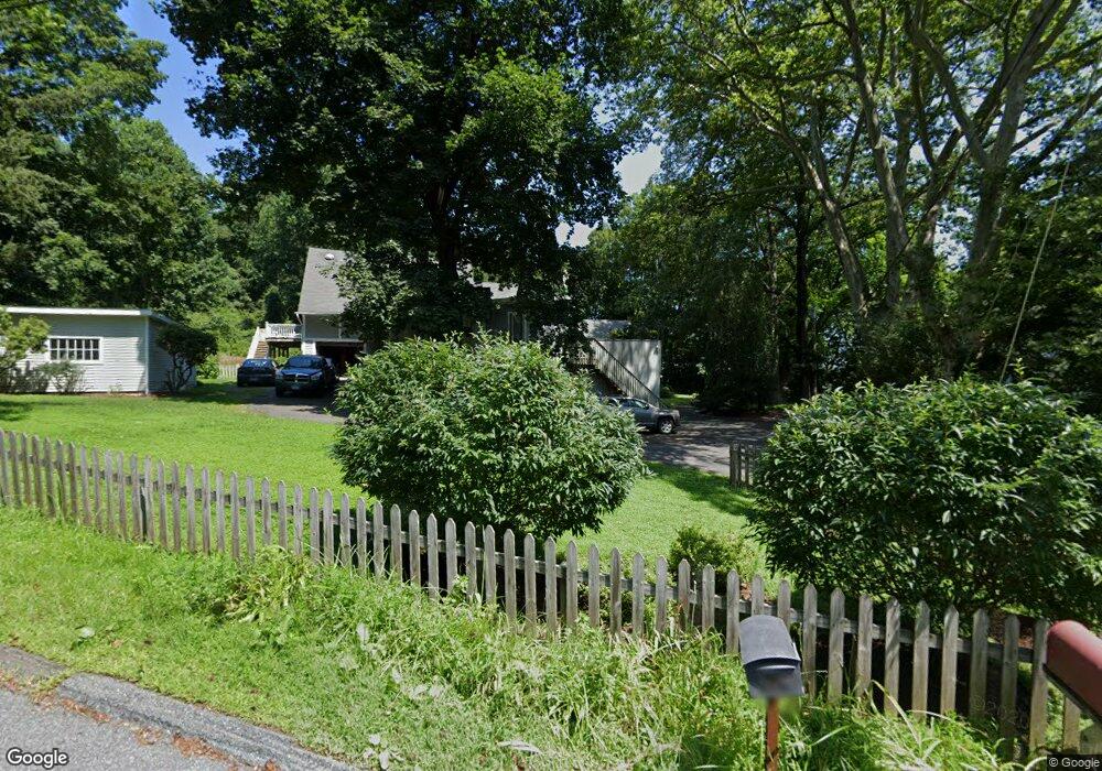
28 Catalpa Rd Wilton, CT 06897
Estimated Value: $1,089,806 - $1,337,000
4
Beds
3
Baths
2,748
Sq Ft
$440/Sq Ft
Est. Value
About This Home
This home is located at 28 Catalpa Rd, Wilton, CT 06897 and is currently estimated at $1,208,702, approximately $439 per square foot. 28 Catalpa Rd is a home located in Fairfield County with nearby schools including Miller-Driscoll School, Cider Mill School, and Middlebrook School.
Ownership History
Date
Name
Owned For
Owner Type
Purchase Details
Closed on
Apr 16, 2004
Sold by
Donia Joseph C and Donia Deanne M
Bought by
Fischer Charles Mark and Fisher Virginia F
Current Estimated Value
Home Financials for this Owner
Home Financials are based on the most recent Mortgage that was taken out on this home.
Original Mortgage
$390,000
Outstanding Balance
$170,130
Interest Rate
4.62%
Estimated Equity
$1,038,572
Create a Home Valuation Report for This Property
The Home Valuation Report is an in-depth analysis detailing your home's value as well as a comparison with similar homes in the area
Home Values in the Area
Average Home Value in this Area
Purchase History
| Date | Buyer | Sale Price | Title Company |
|---|---|---|---|
| Fischer Charles Mark | $700,000 | -- |
Source: Public Records
Mortgage History
| Date | Status | Borrower | Loan Amount |
|---|---|---|---|
| Open | Fischer Charles Mark | $390,000 | |
| Previous Owner | Fischer Charles Mark | $65,800 | |
| Previous Owner | Fischer Charles Mark | $100,000 | |
| Previous Owner | Fischer Charles Mark | $83,900 |
Source: Public Records
Tax History Compared to Growth
Tax History
| Year | Tax Paid | Tax Assessment Tax Assessment Total Assessment is a certain percentage of the fair market value that is determined by local assessors to be the total taxable value of land and additions on the property. | Land | Improvement |
|---|---|---|---|---|
| 2025 | $13,541 | $554,750 | $306,110 | $248,640 |
| 2024 | $13,281 | $554,750 | $306,110 | $248,640 |
| 2023 | $12,824 | $438,270 | $292,740 | $145,530 |
| 2022 | $12,372 | $438,270 | $292,740 | $145,530 |
| 2021 | $12,215 | $438,270 | $292,740 | $145,530 |
| 2020 | $12,035 | $438,270 | $292,740 | $145,530 |
| 2019 | $12,508 | $438,270 | $292,740 | $145,530 |
| 2018 | $12,576 | $446,110 | $308,000 | $138,110 |
| 2017 | $12,388 | $446,110 | $308,000 | $138,110 |
| 2016 | $12,197 | $446,110 | $308,000 | $138,110 |
| 2015 | $11,969 | $446,110 | $308,000 | $138,110 |
| 2014 | $11,826 | $446,110 | $308,000 | $138,110 |
Source: Public Records
Map
Nearby Homes
- 112 Middlebrook Farm Rd
- 33 Cannon Rd
- 33 Middlebrook Farm Rd
- 330 Ridgefield Rd
- 15 River Rd Unit STE 210
- 81 Graenest Ridge Rd
- 55 Liberty St
- 30 Black Alder Ln
- 35 Village Walk
- 185 Sturges Ridge Rd
- 38 Honey Hill Rd
- 35 Branch Brook Rd
- 52 Glen Ridge
- 30 Coley Rd
- 20 Wilton Crest Unit 20
- 10 Woodhill Rd
- 36 Wilton Crest Unit 36
- 84 Wilton Crest Rd Unit 84
- 41 Calvin Rd
- 4 Trails End Rd