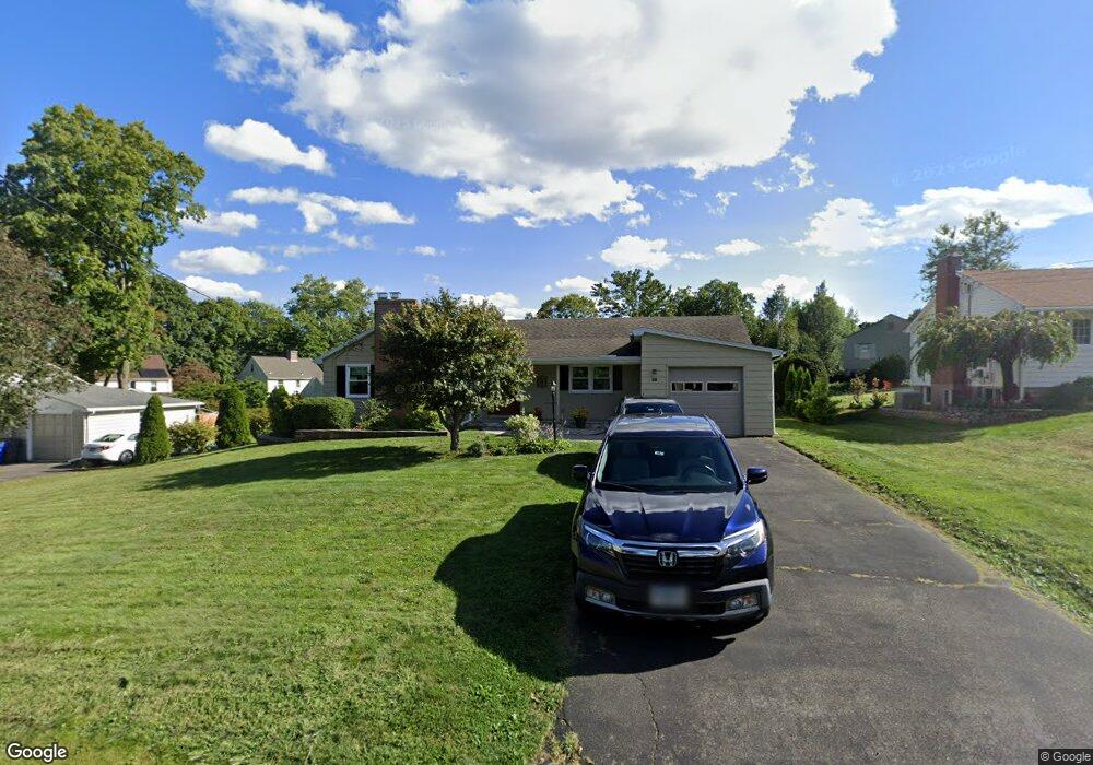
28 Country Club Rd Wethersfield, CT 06109
Estimated Value: $369,000 - $410,000
2
Beds
3
Baths
1,342
Sq Ft
$289/Sq Ft
Est. Value
About This Home
This home is located at 28 Country Club Rd, Wethersfield, CT 06109 and is currently estimated at $387,531, approximately $288 per square foot. 28 Country Club Rd is a home located in Hartford County with nearby schools including Highcrest School, Woodcrest Elementary School, and Silas Deane Middle School.
Ownership History
Date
Name
Owned For
Owner Type
Purchase Details
Closed on
Jun 27, 2001
Sold by
Delgiudice Leon D and Delgiudice Frankye S
Bought by
Hook David J and Hook Karen H
Current Estimated Value
Home Financials for this Owner
Home Financials are based on the most recent Mortgage that was taken out on this home.
Original Mortgage
$158,650
Interest Rate
2.25%
Create a Home Valuation Report for This Property
The Home Valuation Report is an in-depth analysis detailing your home's value as well as a comparison with similar homes in the area
Home Values in the Area
Average Home Value in this Area
Purchase History
| Date | Buyer | Sale Price | Title Company |
|---|---|---|---|
| Hook David J | $167,000 | -- |
Source: Public Records
Mortgage History
| Date | Status | Borrower | Loan Amount |
|---|---|---|---|
| Open | Hook David J | $50,000 | |
| Open | Hook David J | $110,000 | |
| Closed | Hook David J | $158,650 |
Source: Public Records
Tax History Compared to Growth
Tax History
| Year | Tax Paid | Tax Assessment Tax Assessment Total Assessment is a certain percentage of the fair market value that is determined by local assessors to be the total taxable value of land and additions on the property. | Land | Improvement |
|---|---|---|---|---|
| 2025 | $8,961 | $217,400 | $95,680 | $121,720 |
| 2024 | $6,190 | $143,220 | $73,500 | $69,720 |
| 2023 | $5,984 | $143,220 | $73,500 | $69,720 |
| 2022 | $5,883 | $143,220 | $73,500 | $69,720 |
| 2021 | $5,825 | $143,220 | $73,500 | $69,720 |
| 2020 | $5,823 | $143,110 | $73,500 | $69,610 |
| 2019 | $5,830 | $143,110 | $73,500 | $69,610 |
| 2018 | $5,987 | $146,800 | $72,300 | $74,500 |
| 2017 | $5,838 | $146,800 | $72,300 | $74,500 |
| 2016 | $5,658 | $146,800 | $72,300 | $74,500 |
| 2015 | $5,606 | $146,800 | $72,300 | $74,500 |
| 2014 | $5,393 | $146,800 | $72,300 | $74,500 |
Source: Public Records
Map
Nearby Homes
- 36 Country Club Rd
- 20 Country Club Rd
- 16 Farmstead Rd
- 127 Griswold Rd
- 23 Country Club Rd
- 29 Country Club Rd
- 37 Country Club Rd
- 111 Griswold Rd
- 24 Farmstead Rd
- 15 Country Club Rd
- 48 Country Club Rd
- 141 Griswold Rd
- 45 Country Club Rd
- 15 Farmstead Rd
- 95 Griswold Rd
- 42 Farmstead Rd
- 34 Farmstead Rd
- 56 Country Club Rd
- 51 Country Club Rd
- 46 Burwood Rd