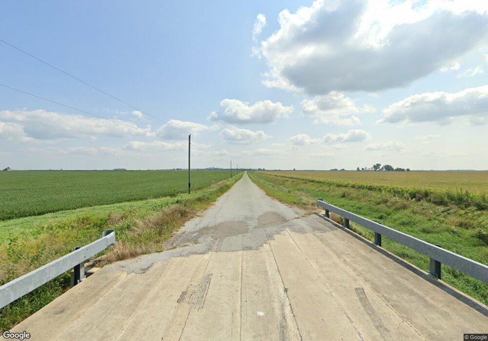
28 County Road 0 E Ivesdale, IL 61851
Estimated Value: $242,000 - $307,000
3
Beds
--
Bath
1,540
Sq Ft
$173/Sq Ft
Est. Value
About This Home
This home is located at 28 County Road 0 E, Ivesdale, IL 61851 and is currently estimated at $266,817, approximately $173 per square foot. 28 County Road 0 E is a home located in Champaign County with nearby schools including Atwood-Hammond Elementary School and Atwood-Hammond Grade School.
Ownership History
Date
Name
Owned For
Owner Type
Purchase Details
Closed on
May 21, 2025
Sold by
Buchanan Joseph A
Bought by
Buchanan Joseph A and Spicer Tiffany J
Current Estimated Value
Purchase Details
Closed on
Jun 14, 2019
Sold by
Gershman Anna A and Schmidt Edward E
Bought by
Buchanan Joseph A
Home Financials for this Owner
Home Financials are based on the most recent Mortgage that was taken out on this home.
Original Mortgage
$148,500
Interest Rate
4.37%
Mortgage Type
Assumption
Purchase Details
Closed on
Jan 31, 2013
Sold by
Lynch Ellen and Lynch Brian K
Bought by
Schmidt Anna L
Purchase Details
Closed on
Sep 16, 2010
Sold by
Bauer William T
Bought by
Lynch Brian K and Lynch Ellen K
Home Financials for this Owner
Home Financials are based on the most recent Mortgage that was taken out on this home.
Original Mortgage
$126,000
Interest Rate
4.17%
Mortgage Type
New Conventional
Create a Home Valuation Report for This Property
The Home Valuation Report is an in-depth analysis detailing your home's value as well as a comparison with similar homes in the area
Home Values in the Area
Average Home Value in this Area
Purchase History
| Date | Buyer | Sale Price | Title Company |
|---|---|---|---|
| Buchanan Joseph A | -- | None Listed On Document | |
| Buchanan Joseph A | $158,500 | Attorney | |
| Schmidt Anna L | $143,500 | None Available | |
| Lynch Brian K | $140,000 | None Available |
Source: Public Records
Mortgage History
| Date | Status | Borrower | Loan Amount |
|---|---|---|---|
| Previous Owner | Buchanan Joseph A | $148,500 | |
| Previous Owner | Lynch Brian K | $126,000 |
Source: Public Records
Tax History Compared to Growth
Tax History
| Year | Tax Paid | Tax Assessment Tax Assessment Total Assessment is a certain percentage of the fair market value that is determined by local assessors to be the total taxable value of land and additions on the property. | Land | Improvement |
|---|---|---|---|---|
| 2024 | $3,992 | $67,320 | $8,730 | $58,590 |
| 2023 | $3,992 | $63,030 | $8,170 | $54,860 |
| 2022 | $3,766 | $59,020 | $7,650 | $51,370 |
| 2021 | $3,592 | $56,210 | $7,290 | $48,920 |
| 2020 | $3,520 | $54,420 | $7,060 | $47,360 |
| 2019 | $3,345 | $52,830 | $6,850 | $45,980 |
| 2018 | $3,542 | $54,530 | $6,730 | $47,800 |
| 2017 | $3,429 | $52,130 | $6,430 | $45,700 |
| 2016 | $3,340 | $50,170 | $6,190 | $43,980 |
| 2015 | $3,225 | $48,330 | $5,960 | $42,370 |
| 2014 | $3,161 | $47,610 | $5,870 | $41,740 |
| 2013 | $3,093 | $47,140 | $5,810 | $41,330 |
Source: Public Records
Map
Nearby Homes
- 101 County Road 100 N
- 1500 N Cr 150e
- 23 County Road 300 N
- 110 5th St
- 206 5th St
- 347 County Road 300 N
- 466 County Road 100 N
- 492 County Road 0 N
- 1190 N 1400 Rd E
- 201 W Locust
- 421 N Illinois St
- 333 E Orchard Ave
- 209 N Iowa St
- 3 Royal Ct
- 5 Royal Ct
- 2 Royal Ct
- 4 Royal Ct
- 210 N Kentucky St
- 222 S Iowa St
- 219 S Missouri St
