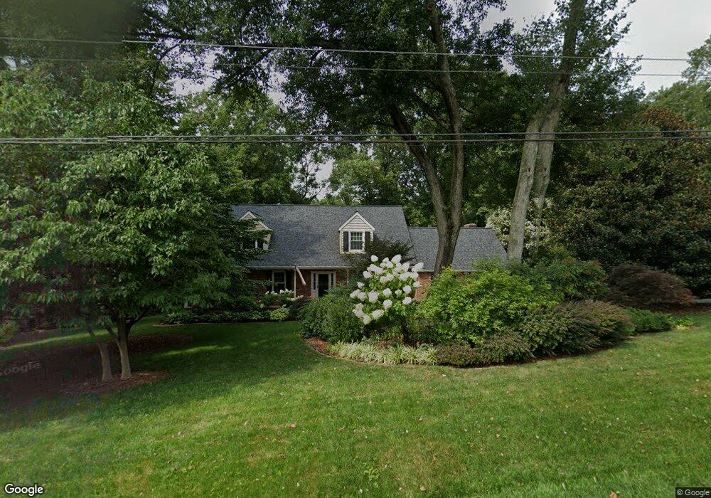
28 Covered Bridge Ln Newark, DE 19711
Estimated Value: $623,000 - $693,000
5
Beds
4
Baths
2,694
Sq Ft
$244/Sq Ft
Est. Value
About This Home
This home is located at 28 Covered Bridge Ln, Newark, DE 19711 and is currently estimated at $657,613, approximately $244 per square foot. 28 Covered Bridge Ln is a home located in New Castle County with nearby schools including Downes (John R.) Elementary School, Shue-Medill Middle School, and Newark High School.
Ownership History
Date
Name
Owned For
Owner Type
Purchase Details
Closed on
Apr 30, 2007
Sold by
Hober Charles
Bought by
Walpole Andrew R N and Walpole Sharon C
Current Estimated Value
Home Financials for this Owner
Home Financials are based on the most recent Mortgage that was taken out on this home.
Original Mortgage
$312,000
Outstanding Balance
$43,147
Interest Rate
6.23%
Mortgage Type
Purchase Money Mortgage
Estimated Equity
$614,466
Purchase Details
Closed on
Mar 16, 2005
Sold by
Hober Charles and Hober Alice J
Bought by
Hober Charles
Create a Home Valuation Report for This Property
The Home Valuation Report is an in-depth analysis detailing your home's value as well as a comparison with similar homes in the area
Home Values in the Area
Average Home Value in this Area
Purchase History
| Date | Buyer | Sale Price | Title Company |
|---|---|---|---|
| Walpole Andrew R N | $458,000 | None Available | |
| Hober Charles | -- | -- |
Source: Public Records
Mortgage History
| Date | Status | Borrower | Loan Amount |
|---|---|---|---|
| Open | Walpole Andrew R N | $312,000 |
Source: Public Records
Tax History Compared to Growth
Tax History
| Year | Tax Paid | Tax Assessment Tax Assessment Total Assessment is a certain percentage of the fair market value that is determined by local assessors to be the total taxable value of land and additions on the property. | Land | Improvement |
|---|---|---|---|---|
| 2024 | $5,902 | $138,600 | $27,600 | $111,000 |
| 2023 | $5,740 | $138,600 | $27,600 | $111,000 |
| 2022 | $5,727 | $138,600 | $27,600 | $111,000 |
| 2021 | $5,606 | $138,600 | $27,600 | $111,000 |
| 2020 | $5,460 | $138,600 | $27,600 | $111,000 |
| 2019 | $4,825 | $138,600 | $27,600 | $111,000 |
| 2018 | $4,699 | $138,600 | $27,600 | $111,000 |
| 2017 | $4,532 | $138,600 | $27,600 | $111,000 |
| 2016 | $4,521 | $138,600 | $27,600 | $111,000 |
| 2015 | $4,118 | $138,600 | $27,600 | $111,000 |
| 2014 | $4,117 | $138,600 | $27,600 | $111,000 |
Source: Public Records
Map
Nearby Homes
- 322 Wallace Dr
- 45 Covered Bridge Ln
- 346 Wedgewood Rd
- 43 The Horseshoe
- 815 N Country Club Dr
- 14 East Pkwy
- 323 Stamford Dr
- 17 East Pkwy
- 129 W Mill Station Dr
- 7 North Pkwy
- 213 Hanover Place
- 5 North Pkwy
- 65 Jackson Hall School Rd
- 102 Joshua (6 Building Lots) Ln
- 506 Cambridge Dr
- 30 E Rosemont Cir
- 6 Gilmore Ln
- 41 Fremont Rd
- 704 Little Egypt Rd
- 406 Leahy Dr
- 30 Covered Bridge Ln
- 24 Covered Bridge Ln
- 19 Carriage Ln
- 29 Covered Bridge Ln
- 17 Carriage Ln
- 27 Covered Bridge Ln
- 21 Carriage Ln
- 15 Carriage Ln
- 32 Covered Bridge Ln
- 31 Covered Bridge Ln
- 25 Covered Bridge Ln
- 22 Covered Bridge Ln
- 13 Carriage Ln
- 23 Carriage Ln
- 33 Covered Bridge Ln
- 23 Covered Bridge Ln
- 34 Covered Bridge Ln
- 20 Carriage Ln
- 18 Carriage Ln
- 9 Carriage Ln