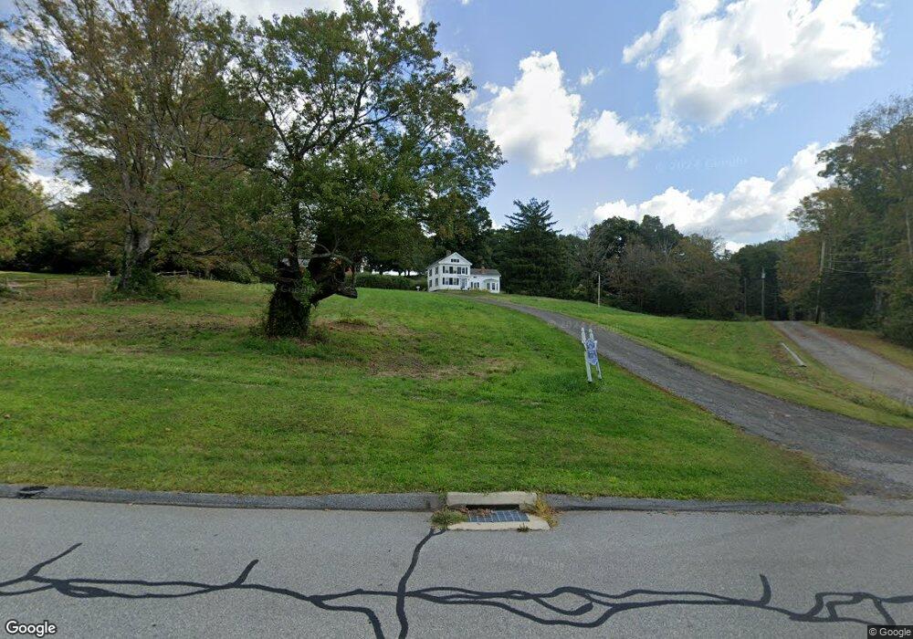
28 Depot Hill Rd Cobalt, CT 06414
Middle Haddam NeighborhoodEstimated Value: $263,000 - $434,583
3
Beds
1
Bath
1,819
Sq Ft
$198/Sq Ft
Est. Value
About This Home
This home is located at 28 Depot Hill Rd, Cobalt, CT 06414 and is currently estimated at $359,646, approximately $197 per square foot. 28 Depot Hill Rd is a home with nearby schools including Memorial School, Center Elementary School, and East Hampton Middle School.
Ownership History
Date
Name
Owned For
Owner Type
Purchase Details
Closed on
Dec 29, 2016
Sold by
Mclean Robert J
Bought by
Mclean 4Th Frank H
Current Estimated Value
Home Financials for this Owner
Home Financials are based on the most recent Mortgage that was taken out on this home.
Original Mortgage
$75,000
Outstanding Balance
$61,487
Interest Rate
3.94%
Mortgage Type
New Conventional
Estimated Equity
$298,159
Purchase Details
Closed on
May 8, 2007
Sold by
Mclean Thomas G
Bought by
Mcclean 4Th Frank H
Home Financials for this Owner
Home Financials are based on the most recent Mortgage that was taken out on this home.
Original Mortgage
$100,000
Interest Rate
6.23%
Mortgage Type
Purchase Money Mortgage
Create a Home Valuation Report for This Property
The Home Valuation Report is an in-depth analysis detailing your home's value as well as a comparison with similar homes in the area
Home Values in the Area
Average Home Value in this Area
Purchase History
| Date | Buyer | Sale Price | Title Company |
|---|---|---|---|
| Mclean 4Th Frank H | $150,000 | -- | |
| Mclean 4Th Frank H | $150,000 | -- | |
| Mcclean 4Th Frank H | $100,000 | -- | |
| Mclean 4Th Frank H | $150,000 | -- | |
| Mcclean 4Th Frank H | $100,000 | -- |
Source: Public Records
Mortgage History
| Date | Status | Borrower | Loan Amount |
|---|---|---|---|
| Open | Mclean 4Th Frank H | $75,000 | |
| Closed | Mclean 4Th Frank H | $75,000 | |
| Previous Owner | Mcclean 4Th Frank H | $100,000 |
Source: Public Records
Tax History Compared to Growth
Tax History
| Year | Tax Paid | Tax Assessment Tax Assessment Total Assessment is a certain percentage of the fair market value that is determined by local assessors to be the total taxable value of land and additions on the property. | Land | Improvement |
|---|---|---|---|---|
| 2025 | $8,003 | $201,540 | $68,370 | $133,170 |
| 2024 | $7,667 | $201,540 | $68,370 | $133,170 |
| 2023 | $7,268 | $201,540 | $68,370 | $133,170 |
| 2022 | $6,985 | $201,540 | $68,370 | $133,170 |
| 2021 | $6,959 | $201,540 | $68,370 | $133,170 |
| 2020 | $6,493 | $195,940 | $66,410 | $129,530 |
| 2019 | $7,168 | $216,290 | $95,070 | $121,220 |
| 2018 | $6,774 | $216,290 | $95,070 | $121,220 |
| 2017 | $6,774 | $216,290 | $95,070 | $121,220 |
| 2016 | $6,368 | $216,290 | $95,070 | $121,220 |
| 2015 | $6,214 | $223,680 | $95,300 | $128,380 |
| 2014 | $5,406 | $223,680 | $95,300 | $128,380 |
Source: Public Records
Map
Nearby Homes
- 0 Gadpouch Rd
- 29 High Point Dr
- 9 Long Hill Rd
- 20 Keighley Pond Rd
- 58 Middle Haddam Rd
- 76 Maple Rd
- 8 Aldens Crossing
- 0 Jobs Pond Rd
- 92 Pepperidge Rd
- 46 Chestnut Hill Rd
- 28 Childs Rd
- 36 Champion Hill Rd
- 11 Nutmeg Ln
- 76 Skinner St
- 171 Bartlett St
- 0 Gildersleeve Rd
- 291 Hog Hill Rd
- 6 Carriage Dr
- 32 Midwood Farm Rd
- 14 Main St
- 32 Depot Hill Rd
- 67 Depot Hill Rd
- 60 Depot Hill Rd
- 59 Depot Hill Rd
- 52 Depot Hill Rd
- 50 Depot Hill Rd
- 29 Depot Hill Rd
- 24 Depot Hill Rd
- 36 Depot Hill Rd
- 40 Depot Hill Rd
- 18 Depot Hill Rd
- 22 Depot Hill Rd
- 17 Depot Hill Rd
- 28 Old Middletown Rd
- 44 Depot Hill Rd
- 12 Depot Hill Rd
- 15 Depot Hill Rd
- 11 Depot Hill Rd
- 26 Depot Hill Rd
- 48 Depot Hill Rd