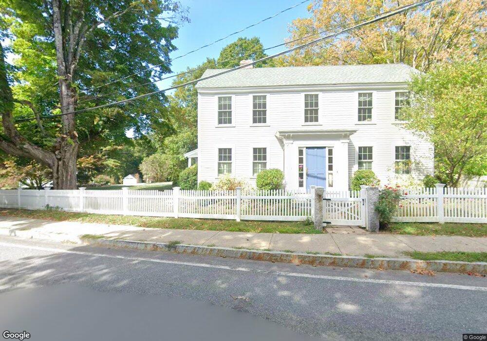
28 Elm St Groton, MA 01450
Estimated Value: $909,000 - $1,192,000
4
Beds
4
Baths
3,600
Sq Ft
$290/Sq Ft
Est. Value
About This Home
This home is located at 28 Elm St, Groton, MA 01450 and is currently estimated at $1,045,463, approximately $290 per square foot. 28 Elm St is a home located in Middlesex County with nearby schools including Groton Dunstable Regional High School, Groton Community School, and Pepperell Christian Academy.
Ownership History
Date
Name
Owned For
Owner Type
Purchase Details
Closed on
Oct 27, 2017
Sold by
Mcadams Patrick and Davis Melissa
Bought by
Quinn James and Quinn Katherine N
Current Estimated Value
Purchase Details
Closed on
Nov 30, 2011
Sold by
Soar Elizabeth D and Orcutt Thomas D
Bought by
Davis Melissa and Mcadams Patrick
Home Financials for this Owner
Home Financials are based on the most recent Mortgage that was taken out on this home.
Original Mortgage
$359,000
Interest Rate
4.1%
Create a Home Valuation Report for This Property
The Home Valuation Report is an in-depth analysis detailing your home's value as well as a comparison with similar homes in the area
Home Values in the Area
Average Home Value in this Area
Purchase History
| Date | Buyer | Sale Price | Title Company |
|---|---|---|---|
| Quinn James | $686,500 | -- | |
| Quinn James | $686,500 | -- | |
| Quinn James | $686,500 | -- | |
| Davis Melissa | $609,000 | -- | |
| Davis Melissa | $609,000 | -- | |
| Davis Melissa | $609,000 | -- |
Source: Public Records
Mortgage History
| Date | Status | Borrower | Loan Amount |
|---|---|---|---|
| Previous Owner | Davis Melissa | $359,000 |
Source: Public Records
Tax History Compared to Growth
Tax History
| Year | Tax Paid | Tax Assessment Tax Assessment Total Assessment is a certain percentage of the fair market value that is determined by local assessors to be the total taxable value of land and additions on the property. | Land | Improvement |
|---|---|---|---|---|
| 2025 | $13,071 | $857,100 | $214,800 | $642,300 |
| 2024 | $12,217 | $809,600 | $214,800 | $594,800 |
| 2023 | $11,464 | $733,000 | $211,400 | $521,600 |
| 2022 | $10,087 | $586,800 | $197,100 | $389,700 |
| 2021 | $9,441 | $536,400 | $173,100 | $363,300 |
| 2020 | $10,160 | $584,600 | $177,200 | $407,400 |
| 2019 | $10,513 | $580,500 | $177,200 | $403,300 |
| 2018 | $10,300 | $551,700 | $177,200 | $374,500 |
| 2017 | $10,600 | $580,500 | $177,200 | $403,300 |
| 2016 | $10,498 | $559,000 | $166,500 | $392,500 |
| 2015 | $10,213 | $559,000 | $166,500 | $392,500 |
Source: Public Records
Map
Nearby Homes
- 247 Main St
- 228 Main St
- 21 Blacksmith Row Unit 21
- 117 Main St
- 111 Farmers Row
- Lot 9A Hayes Woods Ln
- 20 Hayes Woods Ln
- 436 Main St
- 71 Wintergreen Ln
- 284 Martins Pond Rd
- 521 Main St Unit D
- 52 Chestnut Hill Rd
- 44 Nod Rd
- 100 Whitman Rd
- 65 Skyfields Dr
- 227 Boston Rd
- 20 B Legacy Ln
- 20 A Legacy Ln Unit 20A
- PL 639 Indian Hill Rd
- 523 Martins Pond Rd
- 4 Whiting Ave
- 42 Pleasant St
- 42 Pleasant St Unit A
- 42 Pleasant St Unit 2
- 42 Pleasant St Unit 1st Floor
- 22 Elm St Unit 24
- 25 Elm St
- 50 Pleasant St
- 50 Pleasant St Unit B
- 50 Pleasant St Unit 1,1
- 10 Whiting Ave
- 21 Elm St
- 32 Pleasant St
- 18 Elm St
- 43 Pleasant St
- 35 Pleasant St
- 39 Pleasant St
- 54 Pleasant St
- 13 Whiting Ave
- 49 Pleasant St