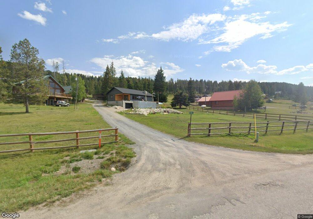
28 Fir Tree Ln Anaconda, MT 59711
Estimated Value: $434,476 - $572,000
2
Beds
2
Baths
1,396
Sq Ft
$368/Sq Ft
Est. Value
About This Home
This home is located at 28 Fir Tree Ln, Anaconda, MT 59711 and is currently estimated at $513,492, approximately $367 per square foot. 28 Fir Tree Ln is a home located in Deer Lodge County with nearby schools including Lincoln Elementary School, Fred Moodry Intermediate School, and Anaconda Junior High School.
Ownership History
Date
Name
Owned For
Owner Type
Purchase Details
Closed on
Jun 22, 2021
Sold by
Crncevich Julie and Gagnon Julie
Bought by
Collins Keith W
Current Estimated Value
Purchase Details
Closed on
Jun 16, 2021
Sold by
Crncevich William Steve
Bought by
Collins Keith W
Purchase Details
Closed on
May 24, 2012
Sold by
Lynette Williamson Carol
Bought by
Collins Keith W
Create a Home Valuation Report for This Property
The Home Valuation Report is an in-depth analysis detailing your home's value as well as a comparison with similar homes in the area
Home Values in the Area
Average Home Value in this Area
Purchase History
| Date | Buyer | Sale Price | Title Company |
|---|---|---|---|
| Collins Keith W | -- | None Available | |
| Collins Keith W | -- | None Available | |
| Collins Keith W | -- | None Available | |
| Collins Keith W | -- | None Available | |
| Collins Keith W | -- | None Listed On Document | |
| Collins Keith W | -- | None Listed On Document |
Source: Public Records
Tax History Compared to Growth
Tax History
| Year | Tax Paid | Tax Assessment Tax Assessment Total Assessment is a certain percentage of the fair market value that is determined by local assessors to be the total taxable value of land and additions on the property. | Land | Improvement |
|---|---|---|---|---|
| 2025 | $2,381 | $438,944 | $0 | $0 |
| 2024 | $2,303 | $273,148 | $0 | $0 |
| 2023 | $2,050 | $273,148 | $0 | $0 |
| 2022 | $2,209 | $216,038 | $0 | $0 |
| 2021 | $1,488 | $169,308 | $0 | $0 |
| 2020 | $1,757 | $178,907 | $0 | $0 |
| 2019 | $1,758 | $176,300 | $0 | $0 |
| 2018 | $1,558 | $157,577 | $0 | $0 |
| 2017 | $1,340 | $157,577 | $0 | $0 |
| 2016 | $1,541 | $160,240 | $0 | $0 |
| 2015 | $1,463 | $160,240 | $0 | $0 |
| 2014 | $1,231 | $74,823 | $0 | $0 |
Source: Public Records
Map
Nearby Homes
- 617 Fire Ln
- 16 Mule Deer Ln
- 124 Deer Park Ln
- Lot 1 Whetstone Ridge Ct
- NHN Miners Rd
- TBD Black Bear
- Lot 3 Whetstone Ridge Ct
- Lot 2 Whetstone Ridge Ct
- tbd Black Bear Ln
- Nhn Covellite Ln Unit Lot 9
- Nhn Ln Unit Lot 3
- Nhn Calcite Ln Unit Lot 23
- TBD Shoot the Moon Ln
- Nhn Argentite Ln Unit Lot 16
- Nhn Argentite Ln Unit Lot 13
- Tbd Sunchild Ln
- NHN (1.78+/- acres) Sunchild Ln
- TBD (5.4+/- acres) Gold Coin Ln
- TBD (5.37+/- acres) Gold Coin Ln
- 0 Nhn (2) Highway 1 Lot Unit WP002
- 106 Southern Cross Rd
- 110 SOUTHE Cross Rd
- A-Lot 8 SW Georgetown Lake
- 294 Southern Cross Rd
- 110 Southern Cross Rd
- 253 Southern Cross Rd
- 257 Southern Cross Rd
- 294 Lodgepole Ln
- 227 Southern Cross Rd
- 398 Lodgepole Ln
- 112 Lodgepole Ln E
- 402 Southern Cross Rd
- 58 Ramsey Ln
- 175 Lodgepole Ln E
- 175 Lodgepole Ln
- 177 Lodgepole Ln
- 233 Lodgepole Ln
- 397 Lodgepole Ln
- 150 Southern Cross Rd
- 225 Lodgepole Ln