28 Flagg Rd Marlow, NH 03456
Estimated Value: $320,000 - $370,039
3
Beds
2
Baths
1,512
Sq Ft
$228/Sq Ft
Est. Value
About This Home
This home is located at 28 Flagg Rd, Marlow, NH 03456 and is currently estimated at $344,260, approximately $227 per square foot. 28 Flagg Rd is a home located in Cheshire County with nearby schools including Candor Elementary School, Mayland Early College High School, and Keene High School.
Ownership History
Date
Name
Owned For
Owner Type
Purchase Details
Closed on
Apr 6, 2004
Sold by
Oneill John Joseph Est
Bought by
Filliman Robyn G
Current Estimated Value
Home Financials for this Owner
Home Financials are based on the most recent Mortgage that was taken out on this home.
Original Mortgage
$119,000
Interest Rate
5.56%
Mortgage Type
Purchase Money Mortgage
Create a Home Valuation Report for This Property
The Home Valuation Report is an in-depth analysis detailing your home's value as well as a comparison with similar homes in the area
Home Values in the Area
Average Home Value in this Area
Purchase History
| Date | Buyer | Sale Price | Title Company |
|---|---|---|---|
| Filliman Robyn G | $140,000 | -- |
Source: Public Records
Mortgage History
| Date | Status | Borrower | Loan Amount |
|---|---|---|---|
| Open | Filliman Robyn G | $170,000 | |
| Closed | Filliman Robyn G | $119,000 |
Source: Public Records
Tax History Compared to Growth
Tax History
| Year | Tax Paid | Tax Assessment Tax Assessment Total Assessment is a certain percentage of the fair market value that is determined by local assessors to be the total taxable value of land and additions on the property. | Land | Improvement |
|---|---|---|---|---|
| 2024 | $5,362 | $172,970 | $60,800 | $112,170 |
| 2023 | $5,037 | $174,770 | $60,800 | $113,970 |
| 2022 | $4,406 | $170,580 | $60,800 | $109,780 |
| 2021 | $4,032 | $163,180 | $60,800 | $102,380 |
| 2020 | $4,848 | $163,180 | $60,800 | $102,380 |
| 2019 | $4,496 | $140,850 | $45,800 | $95,050 |
| 2018 | $3,582 | $140,850 | $45,800 | $95,050 |
| 2016 | $3,094 | $140,850 | $45,800 | $95,050 |
| 2015 | $3,604 | $140,850 | $45,800 | $95,050 |
| 2014 | $3,496 | $140,220 | $48,600 | $91,620 |
| 2009 | $3,285 | $153,150 | $65,900 | $87,250 |
Source: Public Records
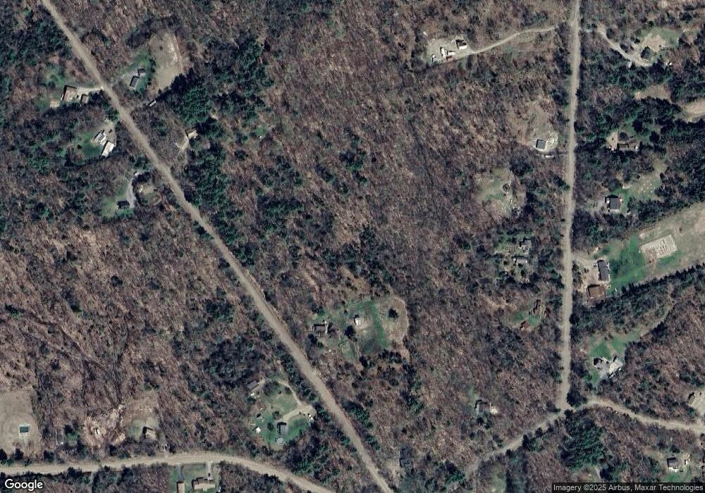
Map
Nearby Homes
- 0 Washington Pond Rd Unit 113
- 172 Nh-Rte 123 Route
- 6 Mill St
- 67 Lang Rd
- 178 North Rd
- 264 Olds Rd
- 0 Olds Rd
- 27 Shadowland Rd
- 335 Coolidge Dr
- 32 Blueberry Hill Ln
- 0 Adams Dr
- 286 Presidential Dr
- 1076 Nh Route 123a
- 00 Alstead Center Rd
- 133 Earl Ln
- 0 Allen Rd
- 16 Nash Corner Rd
- 94 Cold Pond Rd
- 0 Lempster Mountain Rd Unit 2
- Lot 21 Dodge Pond Ln
- 170 Marlow Hill Rd
- 178 Marlow Hill Rd
- 23 Flagg Rd
- 190 Marlow Hill Rd
- 216 Marlow Hill Rd
- 70 Flagg Rd
- 8 Flagg Rd
- 71 Flagg Rd
- 179 Marlow Hill Rd
- 22 Marlow Hill Rd
- 173 Marlow Hill Rd
- 7 Musterfield Heights Rd
- 235 Marlow Hill Rd
- 280 Marlow Hill Rd
- 269 Marlow Hill Rd
- 0 Flagg Rd Unit 28 5008962
- 0 Flagg Rd Unit 4616222
- 0 Flagg Rd Unit 2768893
- 0 Flagg Rd Unit 2718218
- 86 Flagg Rd