28 Gosnold Rd Nantucket, MA 02554
Estimated Value: $4,665,000 - $6,253,376
2
Beds
2
Baths
2,112
Sq Ft
$2,691/Sq Ft
Est. Value
About This Home
This home is located at 28 Gosnold Rd, Nantucket, MA 02554 and is currently estimated at $5,684,125, approximately $2,691 per square foot. 28 Gosnold Rd is a home located in Nantucket County with nearby schools including Nantucket Elementary School, Cyrus Peirce Middle School, and Nantucket High School.
Ownership History
Date
Name
Owned For
Owner Type
Purchase Details
Closed on
Jul 5, 2011
Sold by
Hansen Anita M
Bought by
Hansen Ft and Hansen
Current Estimated Value
Create a Home Valuation Report for This Property
The Home Valuation Report is an in-depth analysis detailing your home's value as well as a comparison with similar homes in the area
Home Values in the Area
Average Home Value in this Area
Purchase History
| Date | Buyer | Sale Price | Title Company |
|---|---|---|---|
| Hansen Ft | -- | -- | |
| Hansen Ft | -- | -- |
Source: Public Records
Tax History Compared to Growth
Tax History
| Year | Tax Paid | Tax Assessment Tax Assessment Total Assessment is a certain percentage of the fair market value that is determined by local assessors to be the total taxable value of land and additions on the property. | Land | Improvement |
|---|---|---|---|---|
| 2025 | $19,927 | $6,075,290 | $4,771,390 | $1,303,900 |
| 2023 | $17,597 | $5,481,852 | $4,631,752 | $850,100 |
| 2022 | $18,156 | $4,854,463 | $4,222,663 | $631,800 |
| 2021 | $14,556 | $4,009,900 | $3,378,100 | $631,800 |
| 2020 | $14,921 | $4,325,000 | $3,659,600 | $665,400 |
| 2019 | $14,432 | $4,295,100 | $3,629,700 | $665,400 |
| 2018 | $14,435 | $4,089,100 | $3,490,200 | $598,900 |
| 2017 | $16,160 | $4,767,000 | $4,065,300 | $701,700 |
| 2016 | $17,511 | $5,211,700 | $4,711,000 | $500,700 |
| 2015 | $7,274 | $2,014,900 | $1,558,800 | $456,100 |
| 2014 | $7,576 | $2,014,900 | $1,558,800 | $456,100 |
Source: Public Records
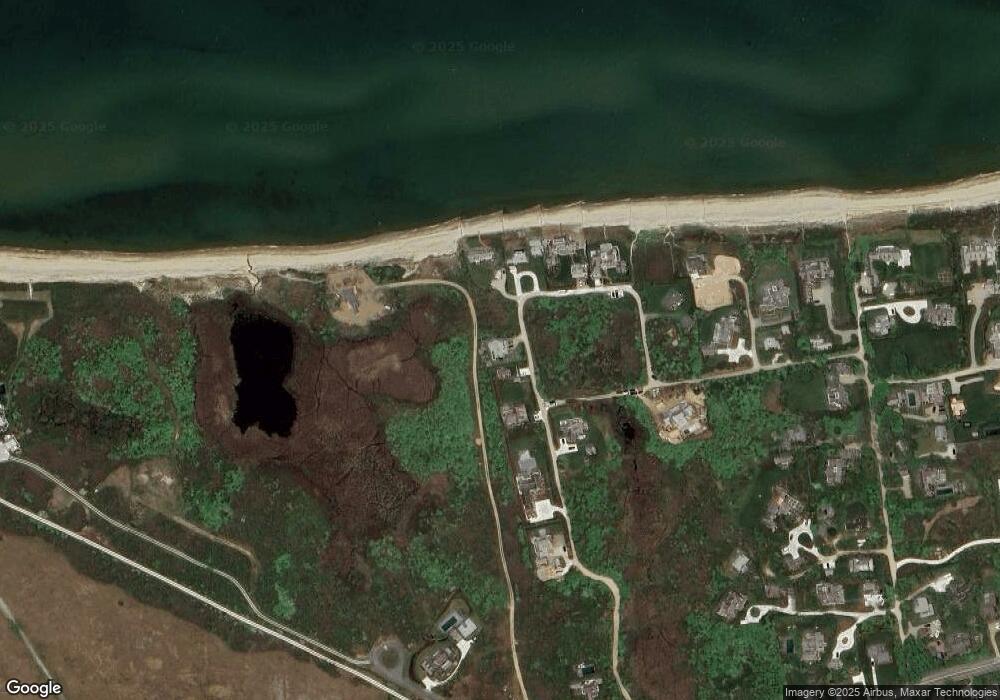
Map
Nearby Homes
- 26 Gosnold Rd
- 13 Hallowell Ln
- 11 Hallowell Ln
- 9 Hallowell Ln
- 14 Sachem Rd
- 3 Hallowell Ln
- 20 Gosnold Rd
- 7 Hallowell Ln
- 4 Sachem Rd
- 11 E Hallowell Ln
- 14 Gosnold Rd
- 2 E Hallowell Ln
- 6 E Hallowell Ln
- 14 Hinckley Ln
- 1 E Hallowell Ln
- 20 Hinckley Ln
- 28 Hinckley Ln
- 24 Hinckley Ln
- 12 Hinckley Ln
- 7 Chase Links Cir