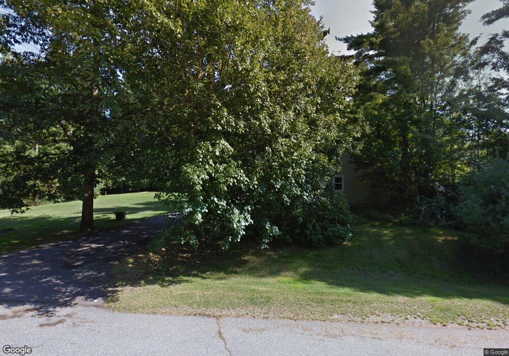
28 High Pasture Rd Kittery Point, ME 03905
Estimated Value: $666,793 - $1,019,000
3
Beds
3
Baths
2,092
Sq Ft
$374/Sq Ft
Est. Value
About This Home
This home is located at 28 High Pasture Rd, Kittery Point, ME 03905 and is currently estimated at $782,948, approximately $374 per square foot. 28 High Pasture Rd is a home with nearby schools including Horace Mitchell Primary School, Shapleigh School, and Robert W Traip Academy.
Ownership History
Date
Name
Owned For
Owner Type
Purchase Details
Closed on
Jul 30, 2024
Sold by
Obrien David W
Bought by
Obrien Nicholas D and Mailman-Obrien Katrina A
Current Estimated Value
Home Financials for this Owner
Home Financials are based on the most recent Mortgage that was taken out on this home.
Original Mortgage
$225,000
Outstanding Balance
$222,454
Interest Rate
6.87%
Mortgage Type
Purchase Money Mortgage
Estimated Equity
$560,494
Create a Home Valuation Report for This Property
The Home Valuation Report is an in-depth analysis detailing your home's value as well as a comparison with similar homes in the area
Home Values in the Area
Average Home Value in this Area
Purchase History
| Date | Buyer | Sale Price | Title Company |
|---|---|---|---|
| Obrien Nicholas D | $525,000 | None Available | |
| Obrien Nicholas D | $525,000 | None Available |
Source: Public Records
Mortgage History
| Date | Status | Borrower | Loan Amount |
|---|---|---|---|
| Open | Obrien Nicholas D | $225,000 | |
| Closed | Obrien Nicholas D | $225,000 |
Source: Public Records
Tax History Compared to Growth
Tax History
| Year | Tax Paid | Tax Assessment Tax Assessment Total Assessment is a certain percentage of the fair market value that is determined by local assessors to be the total taxable value of land and additions on the property. | Land | Improvement |
|---|---|---|---|---|
| 2024 | $7,302 | $514,200 | $140,900 | $373,300 |
| 2023 | $6,998 | $514,200 | $140,900 | $373,300 |
| 2022 | $6,931 | $514,200 | $140,900 | $373,300 |
| 2021 | $6,685 | $514,200 | $140,900 | $373,300 |
| 2020 | $6,633 | $514,200 | $140,900 | $373,300 |
| 2019 | $6,669 | $383,300 | $84,900 | $298,400 |
| 2018 | $6,439 | $383,300 | $84,900 | $298,400 |
| 2017 | $6,324 | $383,300 | $84,900 | $298,400 |
| 2016 | $6,152 | $383,300 | $84,900 | $298,400 |
| 2015 | $6,006 | $383,300 | $84,900 | $298,400 |
| 2014 | $5,949 | $383,300 | $84,900 | $298,400 |
| 2013 | $5,834 | $383,300 | $84,900 | $298,400 |
Source: Public Records
Map
Nearby Homes
- 78 Norton Rd Unit 6
- 25 Bartlett Rd
- 58 Foyes Ln
- 20 Washburn Farm Ln Unit 5
- 7 Washburn Farm Ln Unit 9
- 18 Washburn Farm Ln Unit 4
- 2 Washburn Farm Ln Unit 1
- 3 Izzy Ln
- 12 Washburn Farm Ln Unit 3
- 50 Lewis Rd
- 8 Spruce Point Rd
- 15 Foyes Ln
- 13 Washburn Farm Ln Unit 7
- 122 Haley Rd
- 39 Tenney Hill Rd
- 132 Pepperrell Rd
- 109 Bartlett Rd
- 10 Lewis Rd
- 72 Pepperrell Rd
- 205 Whipple Rd
- 26 High Pasture Rd
- 44 Miller Rd
- 36 Miller Rd
- 31 High Pasture Rd
- 43 Miller Rd
- 35 Miller Rd
- 32 Miller Rd
- 45 Miller Rd
- 24 High Pasture Rd
- 29 High Pasture Rd
- 51 Miller Rd
- 33 Miller Rd
- 17 Elizabeth Ln
- 22 High Pasture Rd
- 35 Bartlett Rd
- 26 Miller Rd
- 4 Miller Rd Unit Lot 4
- 15 Elizabeth Ln
- 0 Miller Rd
- TBD Miller Rd