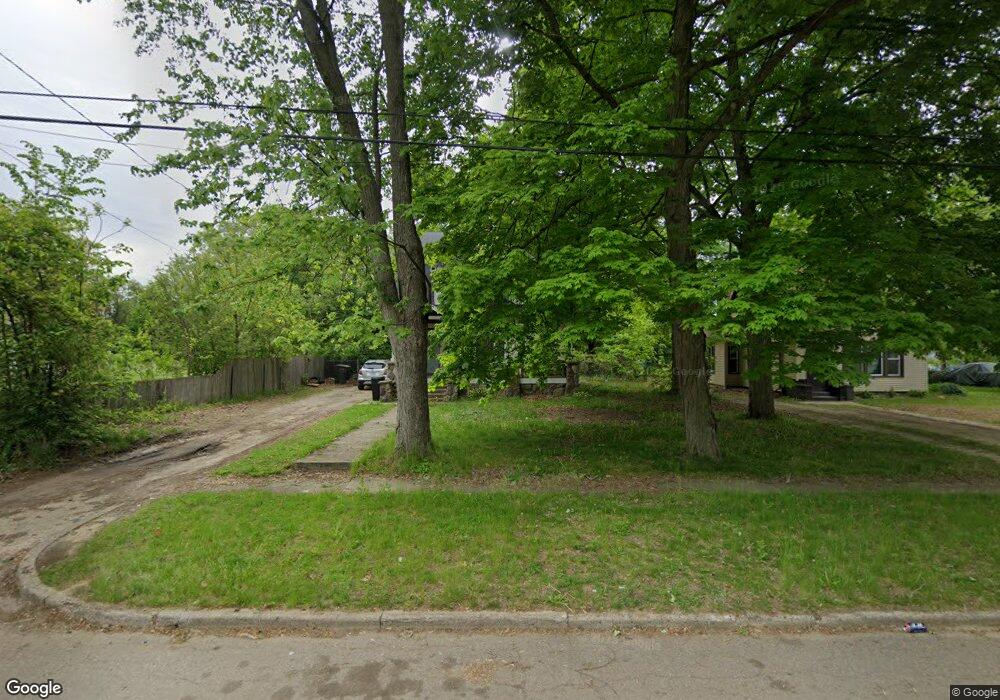
28 Hinman Ave S Battle Creek, MI 49037
Urbandale NeighborhoodEstimated Value: $99,000 - $129,000
2
Beds
1
Bath
880
Sq Ft
$136/Sq Ft
Est. Value
About This Home
This home is located at 28 Hinman Ave S, Battle Creek, MI 49037 and is currently estimated at $119,759, approximately $136 per square foot. 28 Hinman Ave S is a home located in Calhoun County with nearby schools including Northwestern Middle School, Battle Creek Central High School, and Battle Creek Montessori Academy.
Ownership History
Date
Name
Owned For
Owner Type
Purchase Details
Closed on
Jul 25, 2013
Sold by
Wickham Gary R and Wickham Roberta A
Bought by
Jenney Peter and Jenney Shirley A
Current Estimated Value
Purchase Details
Closed on
Jan 28, 2010
Sold by
Osborn Justin and Osborn Jessica Ann
Bought by
Wells Fargo Financial America Inc
Purchase Details
Closed on
Sep 11, 2002
Sold by
Turnbull William V
Bought by
Osborn Justin
Purchase Details
Closed on
Jan 11, 2002
Sold by
Turnbull Mary M
Create a Home Valuation Report for This Property
The Home Valuation Report is an in-depth analysis detailing your home's value as well as a comparison with similar homes in the area
Home Values in the Area
Average Home Value in this Area
Purchase History
| Date | Buyer | Sale Price | Title Company |
|---|---|---|---|
| Jenney Peter | $12,241 | None Available | |
| Wells Fargo Financial America Inc | $7,500 | None Available | |
| Osborn Justin | $31,800 | -- | |
| -- | -- | -- |
Source: Public Records
Tax History Compared to Growth
Tax History
| Year | Tax Paid | Tax Assessment Tax Assessment Total Assessment is a certain percentage of the fair market value that is determined by local assessors to be the total taxable value of land and additions on the property. | Land | Improvement |
|---|---|---|---|---|
| 2025 | -- | $39,800 | $0 | $0 |
| 2024 | $744 | $37,265 | $0 | $0 |
| 2023 | $850 | $34,789 | $0 | $0 |
| 2022 | $672 | $26,774 | $0 | $0 |
| 2021 | $802 | $23,101 | $0 | $0 |
| 2020 | $794 | $22,082 | $0 | $0 |
| 2019 | $752 | $19,157 | $0 | $0 |
| 2018 | $752 | $18,689 | $1,119 | $17,570 |
| 2017 | $729 | $23,044 | $0 | $0 |
| 2016 | $727 | $17,902 | $0 | $0 |
| 2015 | $712 | $17,145 | $3,439 | $13,706 |
| 2014 | $712 | $15,463 | $3,439 | $12,024 |
Source: Public Records
Map
Nearby Homes
- 51 Dunning Ave
- 134 Willard Ave E
- 137 Dunning Ave
- 1528 Michigan Ave W
- 42 Althea Ave
- 1 Brizse Ave
- 35 Avery Ave
- 1111 Michigan Ave W
- 33 Shellenberger Ave
- 124 Parkridge Dr
- 163 Spaulding Ave W
- 40 Kellogg St
- 0 Bynum Drive Lots 29 & 30 Dr Unit 25025910
- 81 Taylor Ave
- 116 Geneva Ave
- 1823 Michigan Ave W
- 180 Woodlawn Ave N
- 33 Mason Ave N
- 387 Waubascon Rd
- 213 Broadway Blvd
- 8 Astor Ct
- 22 Hinman Ave S
- 34 Hinman Ave S
- 16 Hinman Ave S
- 10 Hinman Ave S
- 35 Hinman Ave S
- 31 Hinman Ave S
- 23 Hinman Ave S
- 11 Hinman Ave S
- 17 Hinman Ave S
- 43 Bond Ave
- 51 Bond St
- 1359 Michigan Ave W
- 1375 W Michigan Ave
- 1353 Michigan Ave W
- 1385 W Michigan Ave
- 31 Bond Ave
- 1349 Michigan Ave W
- 67 Bond Ave
- 34 Bond Ave