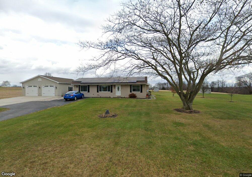
28 Home Rd Unit 2 Abbottstown, PA 17301
Estimated Value: $347,000 - $397,000
4
Beds
2
Baths
1,804
Sq Ft
$206/Sq Ft
Est. Value
About This Home
This home is located at 28 Home Rd Unit 2, Abbottstown, PA 17301 and is currently estimated at $371,190, approximately $205 per square foot. 28 Home Rd Unit 2 is a home located in Adams County with nearby schools including New Oxford Senior High School and Paradise School.
Ownership History
Date
Name
Owned For
Owner Type
Purchase Details
Closed on
Jul 29, 2005
Sold by
Little Troy M and Little Bekkah A
Bought by
Laughman Ricky L and Laughman Darlene L
Current Estimated Value
Home Financials for this Owner
Home Financials are based on the most recent Mortgage that was taken out on this home.
Original Mortgage
$140,000
Outstanding Balance
$73,591
Interest Rate
5.67%
Mortgage Type
New Conventional
Estimated Equity
$297,599
Create a Home Valuation Report for This Property
The Home Valuation Report is an in-depth analysis detailing your home's value as well as a comparison with similar homes in the area
Home Values in the Area
Average Home Value in this Area
Purchase History
| Date | Buyer | Sale Price | Title Company |
|---|---|---|---|
| Laughman Ricky L | $175,000 | -- |
Source: Public Records
Mortgage History
| Date | Status | Borrower | Loan Amount |
|---|---|---|---|
| Open | Laughman Ricky L | $140,000 |
Source: Public Records
Tax History Compared to Growth
Tax History
| Year | Tax Paid | Tax Assessment Tax Assessment Total Assessment is a certain percentage of the fair market value that is determined by local assessors to be the total taxable value of land and additions on the property. | Land | Improvement |
|---|---|---|---|---|
| 2025 | $5,278 | $232,800 | $63,600 | $169,200 |
| 2024 | $4,852 | $232,800 | $63,600 | $169,200 |
| 2023 | $4,662 | $232,800 | $63,600 | $169,200 |
| 2022 | $4,510 | $232,800 | $63,600 | $169,200 |
| 2021 | $4,387 | $232,800 | $63,600 | $169,200 |
| 2020 | $4,277 | $232,800 | $63,600 | $169,200 |
| 2019 | $4,183 | $232,800 | $63,600 | $169,200 |
| 2018 | $4,089 | $232,800 | $63,600 | $169,200 |
| 2017 | $3,421 | $203,800 | $63,600 | $140,200 |
| 2016 | -- | $203,800 | $63,600 | $140,200 |
| 2015 | -- | $203,800 | $63,600 | $140,200 |
| 2014 | -- | $203,800 | $63,600 | $140,200 |
Source: Public Records
Map
Nearby Homes
- 278 Runaway Rd
- 60 Hunters Cir Unit 19
- 702 Wind In the Willows
- 484 Brough Rd
- 334 Rolling Ln Unit 2
- 115 Creekland Dr Unit 4
- 224 W King St
- 7435 Saint Patrick Ct Unit 6
- 7461 Saint Patrick Ct
- 7463 Saint Patrick Ct
- 7459 Saint Patrick Ct
- 7457 Saint Patrick Ct
- 7455 Saint Patrick Ct Unit 28
- 508 Beaver St
- 28 Town Cir Unit 12A
- 7452 Lincoln Hwy
- 486 W King St
- 134 Pleasant View Ct Unit 4
- 0 Beaver St
- 507 Bullet Way
- 70 Home Rd
- 795 Route 194 N Unit 1
- 51 Mummerts Church Rd
- 900 Route 194 N
- 42 Mummerts Church Rd
- 75 Home Rd
- 54 Mummerts Church Rd
- 776 Route 194 N Unit 3
- 144 Home Rd
- 65 Mummerts Church Rd
- 92 Mummerts Church Rd
- 750 Route 194 N Unit 4
- 719 & 723 N Creek Rd
- 402 Locust Ln
- 63 Jacobs Mill Rd
- 470 Locust Ln Unit 1
- 701 Route 194 N
- 420 Locust Ln
- 440 Locust Ln Unit 2
- 358 Home Rd