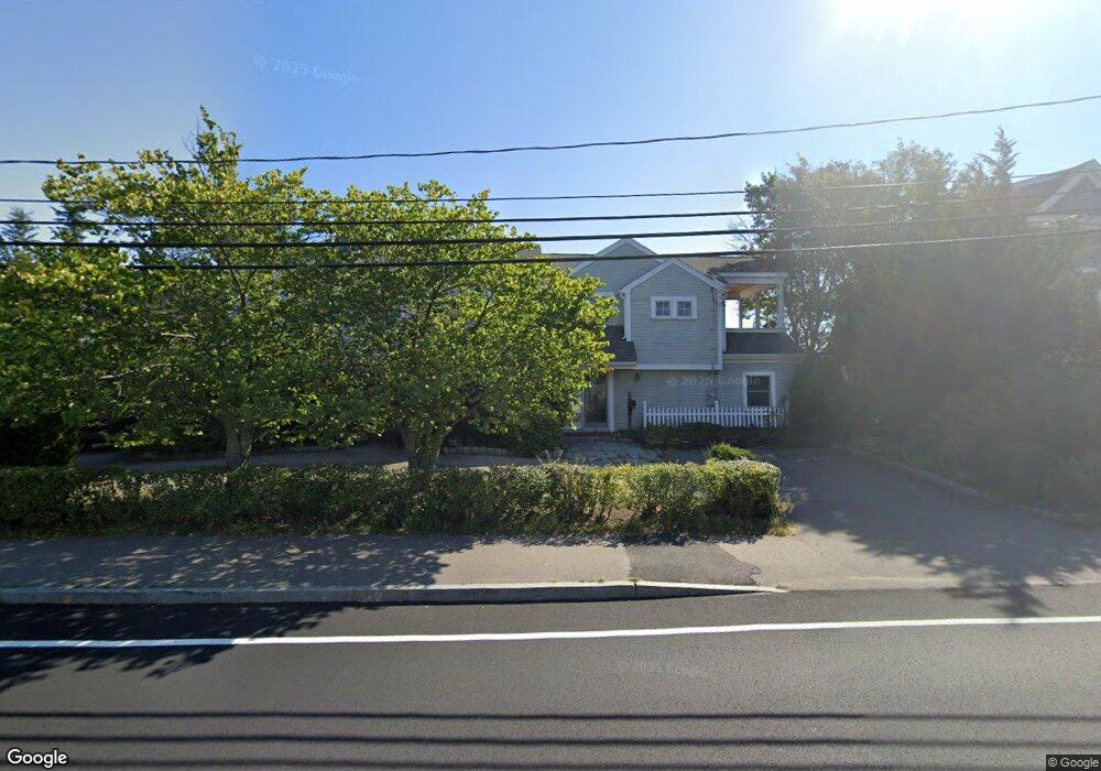
28 Jericho Rd Scituate, MA 02066
Estimated Value: $1,489,307 - $1,681,000
4
Beds
3
Baths
2,445
Sq Ft
$656/Sq Ft
Est. Value
About This Home
This home is located at 28 Jericho Rd, Scituate, MA 02066 and is currently estimated at $1,603,827, approximately $655 per square foot. 28 Jericho Rd is a home located in Plymouth County with nearby schools including Jenkins Elementary School, Lester J. Gates Middle School, and Scituate High School.
Ownership History
Date
Name
Owned For
Owner Type
Purchase Details
Closed on
Dec 7, 2023
Sold by
Houghton Alexandra L
Bought by
28 Jeicho Rd Rt and Houghton
Current Estimated Value
Purchase Details
Closed on
Aug 11, 2008
Sold by
Murphy Brian S
Bought by
Houghton Alexandra L
Purchase Details
Closed on
Nov 6, 1998
Sold by
Flaim Silvano and Flaim Antoinette E
Bought by
Murphy Brian S and Houghton Alexandra I
Home Financials for this Owner
Home Financials are based on the most recent Mortgage that was taken out on this home.
Original Mortgage
$150,000
Interest Rate
6.64%
Mortgage Type
Purchase Money Mortgage
Create a Home Valuation Report for This Property
The Home Valuation Report is an in-depth analysis detailing your home's value as well as a comparison with similar homes in the area
Home Values in the Area
Average Home Value in this Area
Purchase History
| Date | Buyer | Sale Price | Title Company |
|---|---|---|---|
| 28 Jeicho Rd Rt | -- | None Available | |
| Houghton Alexandra L | -- | -- | |
| Murphy Brian S | $400,000 | -- |
Source: Public Records
Mortgage History
| Date | Status | Borrower | Loan Amount |
|---|---|---|---|
| Previous Owner | Murphy Brian S | $250,000 | |
| Previous Owner | Murphy Brian S | $91,412 | |
| Previous Owner | Murphy Brian S | $150,000 |
Source: Public Records
Tax History
| Year | Tax Paid | Tax Assessment Tax Assessment Total Assessment is a certain percentage of the fair market value that is determined by local assessors to be the total taxable value of land and additions on the property. | Land | Improvement |
|---|---|---|---|---|
| 2025 | $14,321 | $1,433,500 | $939,900 | $493,600 |
| 2024 | $13,868 | $1,338,600 | $854,400 | $484,200 |
| 2023 | $13,097 | $1,216,800 | $759,500 | $457,300 |
| 2022 | $13,097 | $1,037,800 | $653,700 | $384,100 |
| 2021 | $12,863 | $965,000 | $622,500 | $342,500 |
| 2020 | $12,547 | $929,400 | $598,500 | $330,900 |
| 2019 | $12,355 | $899,200 | $586,800 | $312,400 |
| 2018 | $11,672 | $836,700 | $555,500 | $281,200 |
| 2017 | $11,462 | $813,500 | $544,400 | $269,100 |
| 2016 | $11,031 | $780,100 | $511,000 | $269,100 |
| 2015 | $9,928 | $757,900 | $488,800 | $269,100 |
Source: Public Records
Map
Nearby Homes
Your Personal Tour Guide
Ask me questions while you tour the home.