Estimated Value: $572,000 - $708,000
3
Beds
3
Baths
2,000
Sq Ft
$327/Sq Ft
Est. Value
About This Home
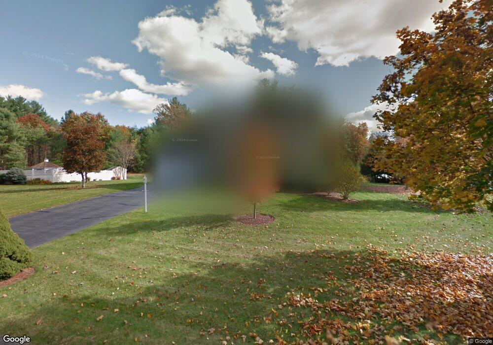
This home is located at 28 Josiah Dr, Upton, MA 01568 and is currently estimated at $653,249, approximately $326 per square foot. 28 Josiah Dr is a home located in Worcester County with nearby schools including Nipmuc Regional High School and Touchstone Community School.
Ownership History
Date
Name
Owned For
Owner Type
Purchase Details
Closed on
Dec 13, 2019
Sold by
Brodeur Michael J and Brodeur Keri A
Bought by
Slagal Erich P and Slagal Morgan R
Current Estimated Value
Home Financials for this Owner
Home Financials are based on the most recent Mortgage that was taken out on this home.
Original Mortgage
$275,000
Outstanding Balance
$241,371
Interest Rate
3.7%
Mortgage Type
New Conventional
Estimated Equity
$411,878
Purchase Details
Closed on
Feb 27, 2017
Sold by
Desmarais Robert P and Desmarais Cynthia L
Bought by
Brodeur Michael J and Brodeur Keri A
Home Financials for this Owner
Home Financials are based on the most recent Mortgage that was taken out on this home.
Original Mortgage
$290,500
Interest Rate
3.5%
Mortgage Type
New Conventional
Purchase Details
Closed on
Apr 27, 1995
Sold by
Wgb Construction Co
Bought by
Desmarais Robert and Desmarais Cynthia
Create a Home Valuation Report for This Property
The Home Valuation Report is an in-depth analysis detailing your home's value as well as a comparison with similar homes in the area
Home Values in the Area
Average Home Value in this Area
Purchase History
| Date | Buyer | Sale Price | Title Company |
|---|---|---|---|
| Slagal Erich P | $450,000 | None Available | |
| Brodeur Michael J | $415,000 | -- | |
| Desmarais Robert | $192,615 | -- |
Source: Public Records
Mortgage History
| Date | Status | Borrower | Loan Amount |
|---|---|---|---|
| Open | Slagal Erich P | $275,000 | |
| Previous Owner | Brodeur Michael J | $290,500 | |
| Previous Owner | Desmarais Robert | $270,000 | |
| Previous Owner | Desmarais Robert | $275,000 |
Source: Public Records
Tax History
| Year | Tax Paid | Tax Assessment Tax Assessment Total Assessment is a certain percentage of the fair market value that is determined by local assessors to be the total taxable value of land and additions on the property. | Land | Improvement |
|---|---|---|---|---|
| 2025 | $7,981 | $606,900 | $258,200 | $348,700 |
| 2024 | $7,995 | $584,400 | $251,300 | $333,100 |
| 2023 | $6,064 | $437,200 | $187,100 | $250,100 |
| 2022 | $7,297 | $435,100 | $187,100 | $248,000 |
| 2021 | $7,548 | $454,700 | $217,800 | $236,900 |
| 2020 | $8,073 | $468,800 | $208,600 | $260,200 |
| 2019 | $7,758 | $448,200 | $181,400 | $266,800 |
| 2018 | $7,473 | $433,700 | $170,300 | $263,400 |
| 2017 | $7,444 | $409,900 | $162,600 | $247,300 |
| 2016 | $7,279 | $392,200 | $135,500 | $256,700 |
| 2015 | $6,580 | $388,200 | $135,500 | $252,700 |
| 2014 | $6,378 | $376,300 | $128,400 | $247,900 |
Source: Public Records
Map
Nearby Homes
- 72 Main St
- 13 Plain St
- 3 Driscoll Ln
- 74 Warren St
- 6 Fieldstone Dr Unit 6
- 7 Fieldstone Dr Unit 7
- 63 Rockwood Ln Unit 63
- 6 Wood St
- 8 Maple St
- 10 Mechanic St
- 31 Elm St
- 11 W Main St
- 13 Jonathans Way
- 130 High St
- 1825 Quaker St
- 27 James Rd Unit 1
- 27 James Rd Unit 2
- 29 Cider Mill Ln
- Lot 108 W Main St
- 7 Sawmill Brook Ln
- 26 Josiah Dr
- 25 Josiah Dr
- 23 Josiah Dr
- 27 Josiah Dr
- 24 Josiah Dr
- 8 Colonial Dr
- 6 Colonial Dr
- 8 Colonial Dr Unit 8
- 6 Colonial Dr Unit 6
- 7 Colonial Dr
- 5 Colonial Dr
- 5 Colonial Dr Unit 5
- 7 Colonial Dr Unit 7
- 15 Henrys Path
- 16 Henrys Path
- 13 Henrys Path
- 2 Colonial Dr Unit 2
- 4 Colonial Dr Unit 4
- 22 Josiah Dr
- 3 Colonial Dr
Your Personal Tour Guide
Ask me questions while you tour the home.