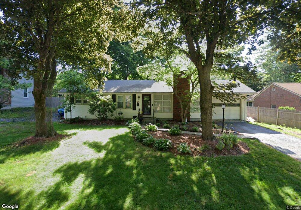
28 Kinnicutt Rd Worcester, MA 01602
Salisbury Street NeighborhoodEstimated Value: $439,710 - $496,000
2
Beds
2
Baths
1,312
Sq Ft
$354/Sq Ft
Est. Value
About This Home
This home is located at 28 Kinnicutt Rd, Worcester, MA 01602 and is currently estimated at $464,678, approximately $354 per square foot. 28 Kinnicutt Rd is a home located in Worcester County with nearby schools including Chandler Magnet, Jacob Hiatt Magnet School, and Flagg Street School.
Ownership History
Date
Name
Owned For
Owner Type
Purchase Details
Closed on
Dec 31, 2008
Sold by
Boyer Ruth E
Bought by
Letourneau Amy and Letourneau Stephen
Current Estimated Value
Home Financials for this Owner
Home Financials are based on the most recent Mortgage that was taken out on this home.
Original Mortgage
$229,326
Outstanding Balance
$151,774
Interest Rate
6.08%
Mortgage Type
VA
Estimated Equity
$312,904
Purchase Details
Closed on
Dec 30, 2008
Sold by
Boyer Ft and Carbonneau Jon S
Bought by
Boyer Ruth E
Home Financials for this Owner
Home Financials are based on the most recent Mortgage that was taken out on this home.
Original Mortgage
$229,326
Outstanding Balance
$151,774
Interest Rate
6.08%
Mortgage Type
VA
Estimated Equity
$312,904
Purchase Details
Closed on
Jul 23, 2008
Sold by
Boyer Ruth E
Bought by
Carbonneau Tr Jon S and Greene Lisa K
Create a Home Valuation Report for This Property
The Home Valuation Report is an in-depth analysis detailing your home's value as well as a comparison with similar homes in the area
Home Values in the Area
Average Home Value in this Area
Purchase History
| Date | Buyer | Sale Price | Title Company |
|---|---|---|---|
| Letourneau Amy | $222,000 | -- | |
| Boyer Ruth E | -- | -- | |
| Carbonneau Tr Jon S | -- | -- |
Source: Public Records
Mortgage History
| Date | Status | Borrower | Loan Amount |
|---|---|---|---|
| Open | Letourneau Amy | $229,326 |
Source: Public Records
Tax History Compared to Growth
Tax History
| Year | Tax Paid | Tax Assessment Tax Assessment Total Assessment is a certain percentage of the fair market value that is determined by local assessors to be the total taxable value of land and additions on the property. | Land | Improvement |
|---|---|---|---|---|
| 2025 | $4,727 | $358,400 | $117,600 | $240,800 |
| 2024 | $4,635 | $337,100 | $117,600 | $219,500 |
| 2023 | $4,478 | $312,300 | $102,300 | $210,000 |
| 2022 | $3,970 | $261,000 | $81,800 | $179,200 |
| 2021 | $3,979 | $244,400 | $65,400 | $179,000 |
| 2020 | $3,825 | $225,000 | $65,500 | $159,500 |
| 2019 | $3,596 | $199,800 | $58,900 | $140,900 |
| 2018 | $3,489 | $184,500 | $58,900 | $125,600 |
| 2017 | $3,546 | $184,500 | $58,900 | $125,600 |
| 2016 | $3,452 | $167,500 | $42,800 | $124,700 |
| 2015 | $3,362 | $167,500 | $42,800 | $124,700 |
| 2014 | $3,273 | $167,500 | $42,800 | $124,700 |
Source: Public Records
Map
Nearby Homes
- 26 Kinnicutt Rd
- 17 Chippewa Rd
- 21 Chippewa Rd
- 15 Chippewa Rd
- 23 Kinnicutt Rd
- 25 Chippewa Rd
- 27 Kinnicutt Rd
- 29 Kinnicutt Rd
- 32 Kinnicutt Rd
- 18 Chippewa Rd
- 15 Kinnicutt Rd
- 15 Kinnicutt Rd Unit 1
- 29 Chippewa Rd
- 11 Cornell St
- 22 Chippewa Rd
- 14 Chippewa Rd
- 12 Kinnicutt Rd
- 28 Chippewa Rd
- 31 Kinnicutt Rd
- 10 Chippewa Rd