Estimated Value: $449,000 - $580,346
2
Beds
1
Bath
1,331
Sq Ft
$390/Sq Ft
Est. Value
About This Home
This home is located at 28 Lake Ave, Gray, ME 04039 and is currently estimated at $518,837, approximately $389 per square foot. 28 Lake Ave is a home located in Cumberland County with nearby schools including Gray-New Gloucester High School.
Ownership History
Date
Name
Owned For
Owner Type
Purchase Details
Closed on
Jul 2, 2014
Sold by
Veligor Vincent D and Veligor Susan J
Bought by
Arsenault Gregory L and Arsenault Tami D
Current Estimated Value
Home Financials for this Owner
Home Financials are based on the most recent Mortgage that was taken out on this home.
Original Mortgage
$132,800
Outstanding Balance
$100,562
Interest Rate
4.16%
Mortgage Type
New Conventional
Estimated Equity
$418,275
Purchase Details
Closed on
Jul 26, 2010
Sold by
Fhlmc
Bought by
Veligor Vincent D and Veligor Susan J
Purchase Details
Closed on
Jan 31, 2008
Sold by
Vambrunt Mary Lee
Bought by
Mccoach Jacob
Home Financials for this Owner
Home Financials are based on the most recent Mortgage that was taken out on this home.
Original Mortgage
$114,500
Interest Rate
6.18%
Mortgage Type
Unknown
Create a Home Valuation Report for This Property
The Home Valuation Report is an in-depth analysis detailing your home's value as well as a comparison with similar homes in the area
Home Values in the Area
Average Home Value in this Area
Purchase History
| Date | Buyer | Sale Price | Title Company |
|---|---|---|---|
| Arsenault Gregory L | -- | -- | |
| Veligor Vincent D | $97,900 | -- | |
| Fhlmc | -- | -- | |
| First Tennessee Bank Na | -- | -- | |
| Mccoach Jacob | -- | -- | |
| Arsenault Gregory L | -- | -- | |
| Veligor Vincent D | $97,900 | -- | |
| Mccoach Jacob | -- | -- |
Source: Public Records
Mortgage History
| Date | Status | Borrower | Loan Amount |
|---|---|---|---|
| Open | Arsenault Gregory L | $132,800 | |
| Closed | Mccoach Jacob | $132,800 | |
| Previous Owner | Mccoach Jacob | $114,500 |
Source: Public Records
Tax History Compared to Growth
Tax History
| Year | Tax Paid | Tax Assessment Tax Assessment Total Assessment is a certain percentage of the fair market value that is determined by local assessors to be the total taxable value of land and additions on the property. | Land | Improvement |
|---|---|---|---|---|
| 2025 | $4,548 | $469,800 | $242,800 | $227,000 |
| 2024 | $4,557 | $469,800 | $242,800 | $227,000 |
| 2023 | $3,845 | $253,300 | $75,300 | $178,000 |
| 2022 | $3,534 | $253,300 | $75,300 | $178,000 |
| 2021 | $3,311 | $226,600 | $75,300 | $151,300 |
| 2020 | $3,342 | $226,600 | $75,300 | $151,300 |
| 2019 | $3,342 | $226,600 | $75,300 | $151,300 |
| 2018 | $3,175 | $226,800 | $75,300 | $151,500 |
| 2017 | $1,606 | $89,000 | $33,000 | $56,000 |
| 2016 | $1,629 | $89,000 | $33,000 | $56,000 |
| 2015 | $1,401 | $77,000 | $21,000 | $56,000 |
| 2014 | $1,401 | $77,000 | $21,000 | $56,000 |
| 2012 | $1,221 | $77,010 | $21,040 | $55,970 |
Source: Public Records
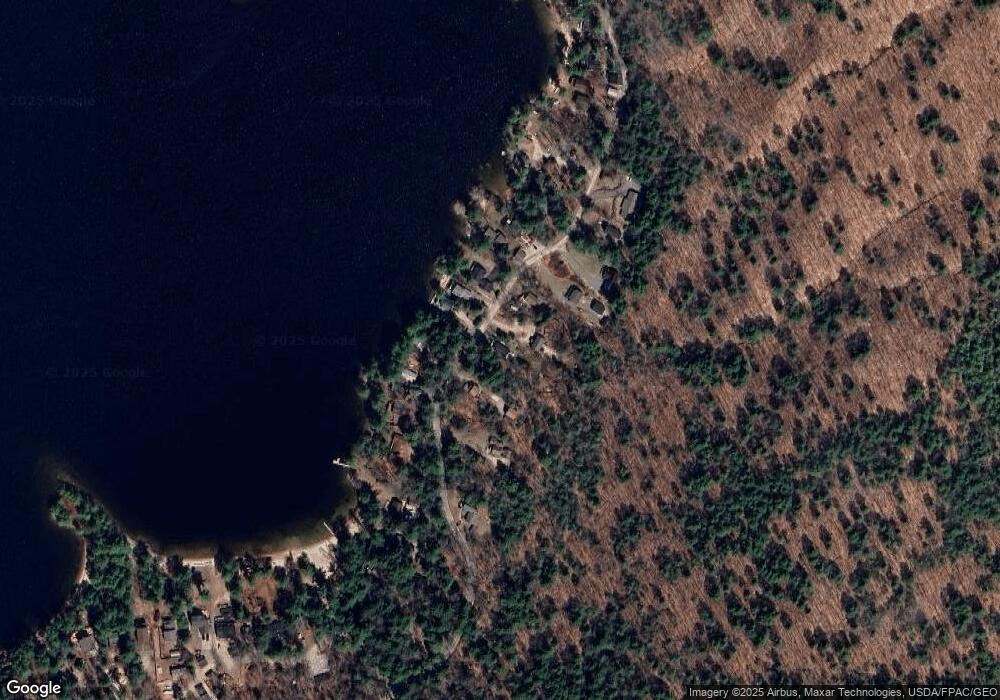
Map
Nearby Homes
- 56 Qualey Rd
- 15 Worcester Dr
- 28 Oak Dr
- 8 Lily Ln
- 20 Ramsdell Rd
- 18 Ramsdell Rd
- M011-006 Westwood Rd
- 11-007 Westwood Rd
- 107 Harvest Hill Rd
- 107 W Gray Rd
- 80 Sky Dr
- 20 Bittersweet Way
- 7 Gore Rd
- lot #8 Bedrock Terrace
- 3 Pride Ln
- 99 Enterprise Dr
- 21 Westwood Rd
- 35 Webbs Mills Rd
- 219 Tandberg Trail
- 24 Hillside Dr