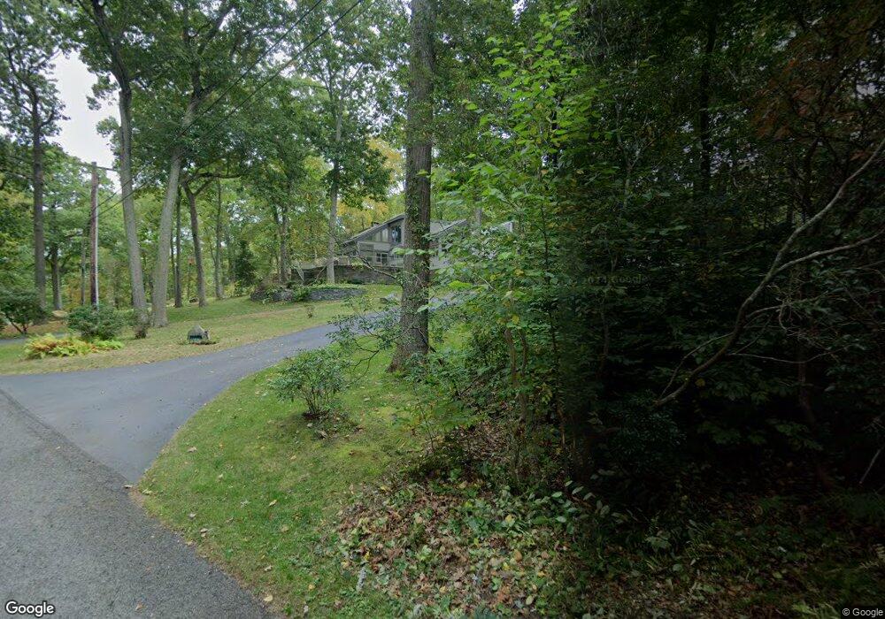
28 Laurel Cove Beach Rd East Haddam, CT 06423
Estimated Value: $753,522 - $1,059,000
3
Beds
5
Baths
3,206
Sq Ft
$281/Sq Ft
Est. Value
About This Home
This home is located at 28 Laurel Cove Beach Rd, East Haddam, CT 06423 and is currently estimated at $900,131, approximately $280 per square foot. 28 Laurel Cove Beach Rd is a home located in Middlesex County with nearby schools including East Haddam Elementary School, Nathan Hale-Ray Middle School, and Nathan Hale-Ray High School.
Ownership History
Date
Name
Owned For
Owner Type
Purchase Details
Closed on
Dec 20, 2012
Sold by
Comer Tr Thomas D
Bought by
Hajek Roy W
Current Estimated Value
Purchase Details
Closed on
Feb 14, 2011
Sold by
Comer Thomas
Bought by
Est Spitzschuh Mary
Create a Home Valuation Report for This Property
The Home Valuation Report is an in-depth analysis detailing your home's value as well as a comparison with similar homes in the area
Home Values in the Area
Average Home Value in this Area
Purchase History
| Date | Buyer | Sale Price | Title Company |
|---|---|---|---|
| Hajek Roy W | -- | -- | |
| Est Spitzschuh Mary | -- | -- |
Source: Public Records
Mortgage History
| Date | Status | Borrower | Loan Amount |
|---|---|---|---|
| Previous Owner | Est Spitzschuh Mary | $350,000 | |
| Previous Owner | Est Spitzschuh Mary | $25,000 |
Source: Public Records
Tax History Compared to Growth
Tax History
| Year | Tax Paid | Tax Assessment Tax Assessment Total Assessment is a certain percentage of the fair market value that is determined by local assessors to be the total taxable value of land and additions on the property. | Land | Improvement |
|---|---|---|---|---|
| 2025 | $12,294 | $438,150 | $133,020 | $305,130 |
| 2024 | $11,725 | $438,150 | $133,020 | $305,130 |
| 2023 | $11,282 | $438,150 | $133,020 | $305,130 |
| 2022 | $10,518 | $330,850 | $92,220 | $238,630 |
| 2021 | $10,071 | $330,850 | $92,220 | $238,630 |
| 2020 | $10,071 | $330,850 | $92,220 | $238,630 |
| 2019 | $10,071 | $330,850 | $92,220 | $238,630 |
| 2018 | $9,813 | $330,850 | $92,220 | $238,630 |
| 2017 | $9,005 | $304,420 | $112,340 | $192,080 |
| 2016 | $8,935 | $304,420 | $112,340 | $192,080 |
| 2015 | $8,731 | $304,420 | $112,340 | $192,080 |
| 2014 | $8,494 | $304,430 | $112,350 | $192,080 |
Source: Public Records
Map
Nearby Homes
- 0 Lakeside Dr
- 114 Lakeside Dr
- 45 Alger Rd
- 55 Bogel Rd
- 112 Schulman Veslak Rd
- 63 Schulman Veslak Rd
- 8 Tom Rd
- 53 Shanaghans Rd
- 206 Sheepskin Hollow Rd
- 53 Falls Bashan Rd
- 42 Dogwood Rd
- 5 Joe Williams Rd
- 80 Orchard Rd
- 16 Mount Parnassus Rd
- 2 Acorn Dr
- 154 Falls Rd
- 53 Falls Rd
- 00 Mount Parnassus Rd
- 10 Orchard Rd
- 21 Olmstead Rd
- 34 Laurel Cove Beach Rd
- 36 Laurel Cove Beach Rd
- 23 Laurel Cove Beach Rd
- 14 Laurel Cove Beach Rd
- 29 Laurel Cove Beach Rd
- 10 Laurel Cove Beach Rd
- 38 Laurel Cove Beach Rd
- 1 Laurel Cove Rd
- 44 Laurel Cove Rd
- 4 Laurel Cove Beach Rd
- 32 Laurel Cove Rd
- 56 Laurel Cove Rd
- 94 Smith Rd
- 30 Laurel Cove Rd
- 39 Laurel Cove Rd
- 35 Laurel Cove Rd
- 60 Laurel Cove Rd
- 27 Laurel Cove Rd
- 43 Laurel Cove Rd
- 47 Laurel Cove Rd