28 Lost Ranch Rd Murphysboro, IL 62966
Estimated Value: $62,000 - $121,000
2
Beds
1
Bath
572
Sq Ft
$173/Sq Ft
Est. Value
About This Home
This home is located at 28 Lost Ranch Rd, Murphysboro, IL 62966 and is currently estimated at $99,085, approximately $173 per square foot. 28 Lost Ranch Rd is a home located in Jackson County with nearby schools including Murphysboro High School, St. Andrew Catholic School, and Montessori School of S. Illinois.
Ownership History
Date
Name
Owned For
Owner Type
Purchase Details
Closed on
Jan 3, 2014
Sold by
Mccann Adam and Mccann Angela
Bought by
Mccann Adam
Current Estimated Value
Create a Home Valuation Report for This Property
The Home Valuation Report is an in-depth analysis detailing your home's value as well as a comparison with similar homes in the area
Home Values in the Area
Average Home Value in this Area
Purchase History
| Date | Buyer | Sale Price | Title Company |
|---|---|---|---|
| Mccann Adam | -- | None Available |
Source: Public Records
Tax History
| Year | Tax Paid | Tax Assessment Tax Assessment Total Assessment is a certain percentage of the fair market value that is determined by local assessors to be the total taxable value of land and additions on the property. | Land | Improvement |
|---|---|---|---|---|
| 2024 | $1,889 | $28,986 | $3,688 | $25,298 |
| 2023 | $1,700 | $25,717 | $3,272 | $22,445 |
| 2022 | $1,557 | $23,572 | $2,999 | $20,573 |
| 2021 | $197 | $7,325 | $2,814 | $4,511 |
| 2020 | $205 | $7,238 | $2,780 | $4,458 |
| 2019 | $192 | $7,112 | $2,732 | $4,380 |
| 2018 | $185 | $8,130 | $2,732 | $5,398 |
| 2017 | $183 | $8,130 | $2,732 | $5,398 |
| 2016 | $181 | $8,130 | $2,732 | $5,398 |
| 2015 | -- | $8,130 | $2,732 | $5,398 |
| 2014 | -- | $7,949 | $2,732 | $5,217 |
| 2012 | -- | $7,949 | $2,732 | $5,217 |
Source: Public Records
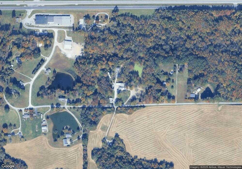
Map
Nearby Homes
- 0000 Illinois 13
- 509 Logan Run Rd
- 504 Lucier St
- 101 S 6th St
- 525 North St
- 509 Lucier St
- 267 Brian Ave
- 103 N 7th St
- 000 Chestnut St
- 131 Brian Ave
- 8994 Old Highway 13
- 203 Fairway Vista Rd
- 604 N 9th St
- 0 Country Club Rd Unit MRDEB459247
- 8694 Old Highway 13
- 220 S 14th St
- 8650 Old Highway 13
- 723 N 9th St
- 1408 Manning St
- 1420 Poplar St
Your Personal Tour Guide
Ask me questions while you tour the home.